Updated Friday morning Forecast — May 19th, 2023

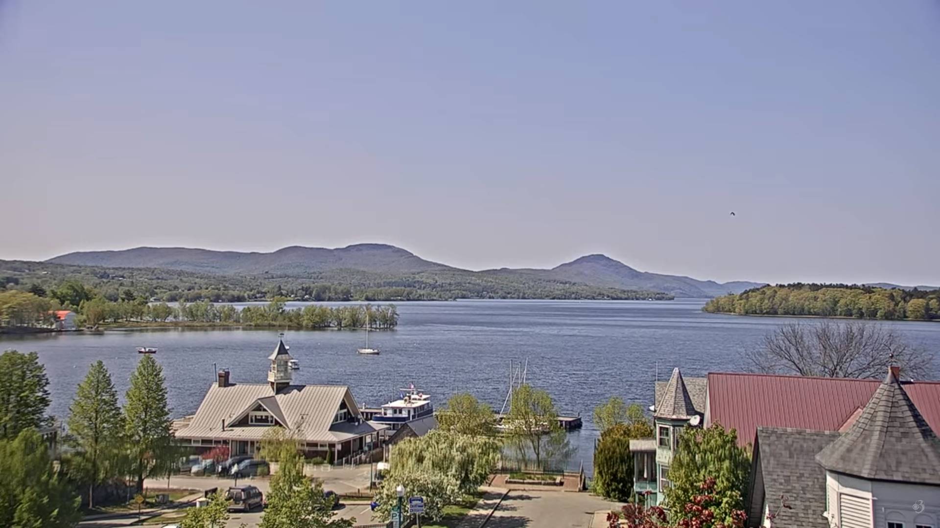
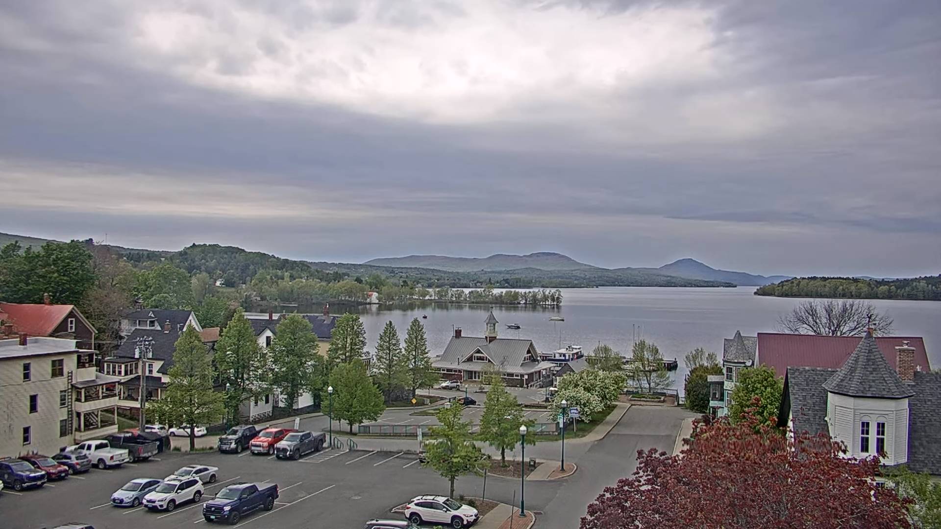
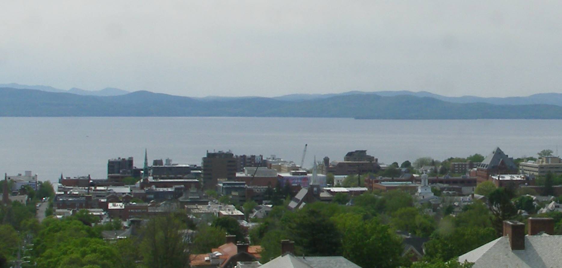
TODAY: Filtered sunshine. A high of 70. South breeze 10 to 15 mph stronger Lake Champlain.

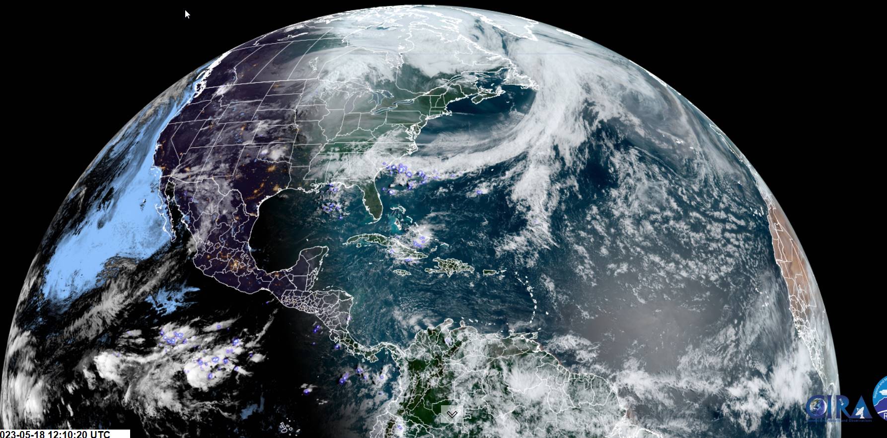
TONIGHT: Considerable high cloudiness, with a chance for a passing shower or two late Champlain Valley. A low around 50. Light south winds stronger near the Lake.

TOMORROW: Maybe an early hint of sun, otherwise clouding up. Occasional showers developing toward dark. A high mid-60s. South breeze 10 to 20 mph.

Looking further ahead

SATURDAY NIGHT: Occasional showers tapering off overnight to partial clearing. Patchy valley fog. A low 50 to 55.

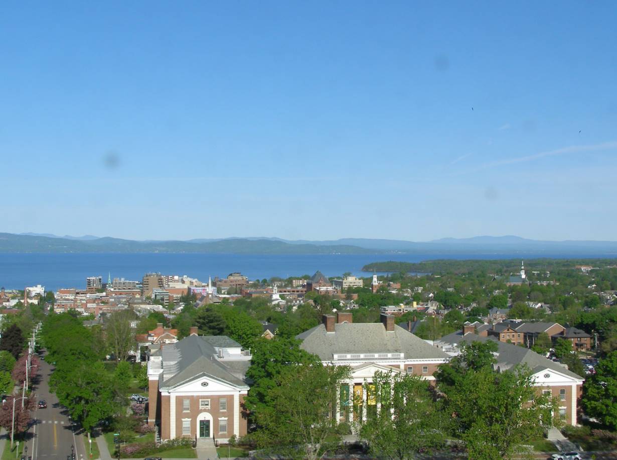
SUNDAY: Clouds with partial late day sunshine. Widely scattered light rain showers northern areas. A high 65 to 70.

MONDAY: Partly to mostly sunny. A low mid-30s to around 40 with isolated frost Northeast Kingdom. A high 60 to 65.

TUESDAY: Mostly sunny with a few high clouds. A low mid-30s, with isolated pockets of frost. A high near 70.

WEDNESDAY: Cloudy periods. Chance for a few showers or sprinkles. A low 50 to 55. A high 65 to 70

Average lows ranging low to mid-40s. Average highs 65 to 70.

Start of Meteorological summer June the 6th.

RH/5-19 forecast][end]

Updated Thursday Evening Forecast — May 18th, 2023

TONIGHT: Clear with a few high clouds. A low in the upper 30s. Light south winds stronger near Lake Champlain.

TOMORROW: Sunshine becoming filtered by high clouds. A high around 70. South breeze 10 to 20 mph gusty Lake Champlain

FRIDAY NIGHT: High overcast. A low mid to upper 40s. Light south winds stronger near the Lake.

SATURDAY: An early hint of sun, then thickening clouds. Showers becoming likely toward dark. A high mid to upper 60s. South breeze 10 to 20 mph.

Looking further ahead

SATURDAY NIGHT: Showers or periods of rain tapering off later overnight to partial clearing. Patchy valley fog. A low around 55.

SUNDAY: Clouds with partial late day sunshine. Slight chance for a sprinkle far north. A high upper 60s.

MONDAY: Lots of clouds with slight chance for a sprinkle northern areas, otherwise partly sunny. A low mid-30s to around 40 with isolated frost Northeast Kingdom. A high near 60.

TUESDAY: Mostly sunny with few high clouds. A low in the 30s, with a threat of scattered frost. A high mid to upper 60s.

Average lows ranging low to mid-40s. Average highs 65 to 70.

Start of Meteorological summer June the 6th.

RH/5-18 forecast][end]

Updated Thursday Morning Forecast — May 18th, 2023

TODAY: Frosty chilly start with bright sunshine and blue skies. A high in the upper 50s. Light west to

northwest winds.

TONIGHT: Clear with a few high clouds. A low upper 30s to around 40. Light south winds.

FRIDAY: Sunshine filtered by high clouds. A high upper 60s to around 70. South breeze 10 to 15 mph more gusty Lake Champlain

Looking further ahead

FRIDAY NIGHT: Fair with high cloudiness. A low in the upper 40s.

SATURDAY: An early hint of sun, then gray. A good chance for periods of rain or showers late afternoon on. A high 65 to 70.

SUNDAY: Clouds with partial late day sunshine. Slight chance for a sprinkle far north. A low around 55. A high 65

to 70.

MONDAY: Lots of clouds with slight chance for a sprinkle northern areas, otherwise partly sunny. A low mid-30s to around 40 with isolated frost Northeast Kingdom. A high near 60.

TUESDAY: Mostly sunny with few high clouds. A low in the 30s, with a threat of scattered frost. A high mid to upper 60s.

Average lows ranging low to mid-40s. Average highs 65 to 70.

Start of Meteorological summer June the 6th.

RH/5-18 forecast][end]

Updated Wednesday Evening Forecast — May 17th, 2023

Freeze Warning midnight thru 8 AM Thursday morning…

TONIGHT: An early evening flurry Northeast Kingdom, otherwise clear and out of season cold. Widespread frost & freezing temperatures. A low mid-20s to near 32 degrees. Light west winds.

TOMORROW: Frosty start, with a few high clouds. Otherwise bright sunshine. A high near 60. Light west to northwest winds.

THURSDAY NIGHT: Clear with a few high clouds. A low about 40. Light south winds

FRIDAY: Sunshine filtered by high clouds. A late day high around 70. South breeze 10 to 15 mph more gusty Lake Champlain

Looking further ahead

FRIDAY NIGHT: Fair with high cloudiness. A low near 50.

SATURDAY: An early hint of sun, then gray. A good chance for periods of rain or showers late afternoon on. A high low 60s.

SUNDAY: Clouds with partial late day sunshine. Slight chance for a sprinkle far north. A low upper 40s to near 50. A high near 70.

MONDAY: Lots of clouds with slight chance for a sprinkle northern areas, otherwise partly sunny. A low 40 to 45.

A high near 60.

TUESDAY: Mostly sunny with few high clouds. A low 35 to 40. A high 65 to 70.

Average lows ranging low to mid-40s. Average highs 65 to 70.

Start of Meteorological summer June the 6th.

RH/5-17 forecast][end]

Updated Wednesday morning Forecast — May 17th, 2023

TODAY: Clouds with a few breaks of sun. Becoming blustery and much colder. Isolated sprinkles/wet snow flakes with trace amounts high terrain northern areas. Temperatures peak in the low to mid 40s. Northwest winds 10 to 20 mph.

Freeze Watch late tonight thru Thursday morning…

TONIGHT: Clear. Widespread frost & possible freezing temperatures. A low mid-20s to near 32 degrees. Light northwest winds.

THURSDAY: Frosty start, with a few high clouds. Otherwise mostly sunny with a warming trend. A high pushing to near 60. Light west to northwest winds.

Looking further ahead

THURSDAY NIGHT: Clear with a few high clouds. A low about 40.

FRIDAY: Sunshine filtered by high clouds. A late day high in the low 70s.

SATURDAY: Filtered sun early, then thickening clouds, leading to a rising chance for rain or showers. A low 45 to 50. A high low to mid 60s.

SUNDAY: Mostly cloudy, but with intervals of afternoon sunshine. A low upper 40s to near 50. A high near 70.

MONDAY: Morning clouds with slight chance for a sprinkle. Becoming mostly sunny. A low 40 to 45. A high near 60.

Average lows ranging low to mid-40s. Average highs 65 to 70.

Start of Meteorological summer June the 6th.

RH/5-16 forecast][end]

Updated Tuesday Evening Forecast — May 16th, 2023

TONIGHT: Evening clouds with a few leftover sprinkles, then partial clearing and colder. A low mid to upper 30s with isolated frost possible Northeast Kingdom. Light north to northwest winds, stronger near Lake Champlain.

TOMORROW: Partial morning sun, then lots of clouds. Blustery, well below normal in temperature. Widely scattered rain showers/wet snow flakes northern areas. Temperatures peak in the low to mid 40s. Northwest winds 10 to 20 mph.

WEDNESDAY NIGHT: Clear. Widespread frost & possible freezing temperatures. A low mid-20s to near 32 degrees. Light northwest winds.

THURSDAY: Frosty start, with a few high clouds. Otherwise mostly sunny with a warming trend. A high mid to upper 50s. Light west to northwest winds.

Looking further ahead

THURSDAY NIGHT: Clear with a few high clouds. A low upper 30s to around 40.

FRIDAY: Sunshine filtered by high clouds. A late day high near 70.

SATURDAY: Filtered sun early, then thickening clouds, leading to a rising chance for rain or showers. A low 45 to 50. A high mid to upper 60s.

SUNDAY: Clouds with a few leftover sprinkles, giving way periods of afternoon sunshine. A low 45 to 50. A high around 70.

MONDAY: Morning clouds with a few showers. Becoming mostly sunny. A low in the 40s. A high in the mid-50s.

Average lows ranging low to mid-40s. Average highs 65 to 70.

Start of Meteorological summer June the 6th.

RH/5-16 forecast][end]

Updated Tuesday Morning Forecast — May 16th, 2023

TODAY: Cloudy, a few hints of sun central and southern areas this morning. Scattered shower Quebec border late this morning…overspreading northern areas this afternoon. A high upper 60s to near 70 then sharply colder late. West breeze picks up at 10 to 25 mph, shifting to northerly late.

TONIGHT: Evening clouds with a few leftover sprinkles, then partial clearing and colder. A low mid to upper 30s with isolated frost possible Northeast Kingdom. Light north to northwest winds, stronger near Lake Champlain.

WEDNESDAY: Partial morning sun, then considerable cloudiness. Blustery, well below normal in temperature. Isolated sprinkles/wet snow flakes northern areas. Temperatures peak mid to upper 40s. Northwest winds 10 to 20 mph.

Looking further ahead

WEDNESDAY NIGHT: Clear widespread frost freezing temperatures. A low mid-20s to near 32 degrees.

THURSDAY: A frosty morning with a few high clouds. Otherwise lots of sunshine. Start of warming trend. A high 55 to near 60.

FRIDAY: Mostly sunny with high clouds in the afternoon. A low upper 30s to around 40. A late day high near 70.

SATURDAY: Filtered sunshine early, then thickening clouds, leading to a rising chance for rain or showers. A low 45 to 50. A high upper 60s.

Average lows ranging low to mid-40s. Average highs 65 to 70.

Start of Meteorological summer June the 6th.

RH/5-15 forecast][end]

Updated Monday Evening Forecast — May 15th, 2023

TONIGHT: Considerable cloudiness. A low near 50. Light southwest winds.

TOMORROW: Cloudy northern areas. Hints of sunshine central and southern areas in the morning. Chance for few showers far north late morning…overspreading the region later in the afternoon. A high upper 60s to near 70, except near the Quebec border. West breeze 10 to 25 mph, shifting to northwesterly at lighter speeds late afternoon.

TUESDAY NIGHT: Evening clouds with a few leftover sprinkles, then clearing and colder. A low mid to upper 30s with isolated frost possible Northeast Kingdom. Light northwest winds, stronger near Lake Champlain.

WEDNESDAY: Brief morning sun, then lots of clouds. Well below normal in temperature. Widely scattered sprinkles mixed with wet snow flakes northern Green Mountains and elevated terrain Northeast Kingdom. Temperatures peak in the mid to upper 40s. Northwest winds 10 to 20 mph.

Looking further ahead

WEDNESDAY NIGHT: Evening clouds then clearing and much colder. A frosty low in the mid-20s to lower 30s.

THURSDAY: A frosty morning with a few high clouds. Otherwise lots of sunshine. Start of warming trend. A high upper 50s to near 60.

FRIDAY: Mostly sunny with high clouds in the afternoon. A low upper 30s. A high 65 to 70.

SATURDAY: Filtered sunshine thru high cloudiness, thickening up in the afternoon, leading to a rising chance for rain. A low 50 to 55. A high upper 60s to near 70.

Average lows ranging low to mid-40s. Average highs 65 to 70.

Start of Meteorological summer June the 6th.

RH/5-15 forecast][end]

Updated Monday Morning Forecast — May 15th, 2023

TODAY: Filtered sunshine with high cloudiness, thickening up some this afternoon. A high upper 60s to near 70. West to southwest breeze 10 to 15 mph.

TONIGHT: Considerable cloudiness. A low near 50. Light southwest winds.

TUESDAY: Gray skies. Chance for few showers far northern areas becoming more widespread later in the afternoon. A high upper 60s to around 70 except cooler northern areas. West to southwest winds 10 to 25 mph, shifting to northwesterly at lighter speeds late afternoon.

Looking further ahead

TUESDAY NIGHT: Evening clouds with a few leftover sprinkles, then clearing and colder. A low mid to upper 30s with isolated frost possible Northeast Kingdom.

WEDNESDAY: Brief morning sun, then lots of clouds. Well below normal in temperature. Widely scattered sprinkles mixed with wet snow flakes northern Green Mountains and elevated terrain Northeast Kingdom. Temperatures peak in the mid to upper 40s.

THURSDAY: A frosty morning with a few high clouds. Otherwise lots of sunshine. Start of warming trend. A frosty low mid-20s to lower 30s. A high upper 50s to near 60.

FRIDAY: Mostly sunny with a few high clouds. A low upper 30s. A high 65 to 70.

SATURDAY: Filtered sunshine thru high cloudiness. A low 50 to 55. A high upper 60s to near 70.

Average lows ranging low to mid-40s. Average highs 65 to 70.

Start of Meteorological summer June the 6th.

RH/5-15 forecast][end]

Updated Friday Evening Forecast — May 12th, 2023

TONIGHT: A few clouds this evening giving way to clear skies overnight. A low around 50. Northwest winds pick up 10 mph overnight.

TOMORROW: Partly to mostly sunny and breezy in the afternoon. A high in the mid-60s. Northwest winds 10 to 20 mph.

SATURDAY NIGHT: Mostly clear & colder. A low mid-30s with a touch of frost colder hollows. Light northwest winds.

SUNDAY MOTHERS DAY: Some cloudy periods in the morning, then mostly sunny but cool and blustery at times. A high mid to upper 50s. Northwest winds 10 to 15 mph.

Looking further ahead

SUNDAY NIGHT: Mostly clear. A low 35 to 40.

MONDAY: Partly sunny in the morning then gray. Maybe a shower late. A high mid to upper 60s.

TUESDAY: Gray skies. Chance for showers northern areas more widespread later on…moderate at times. A low 45 to 50. A high around 60.

WEDNESDAY: Mostly cloudy. Widely scattered mountain sprinkles possible wet snowflakes summits. A low mid-30s with isolated frost possible. A high in the mid-50s.

Average lows ranging upper 30s to mid-40s. Average highs low to mid 60s

Start of Meteorological summer June the 6th.

RH/5-11 forecast][end]