
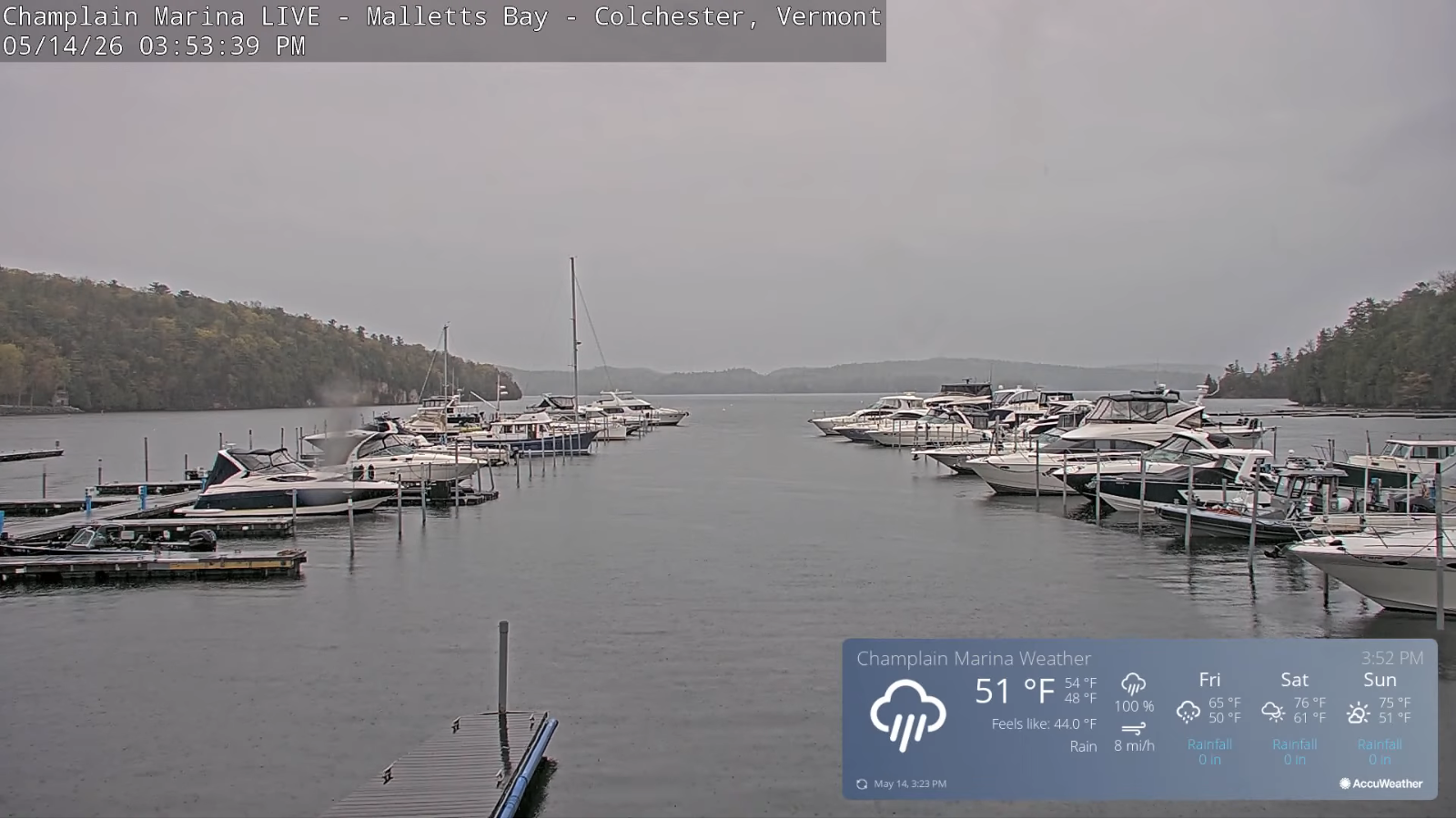
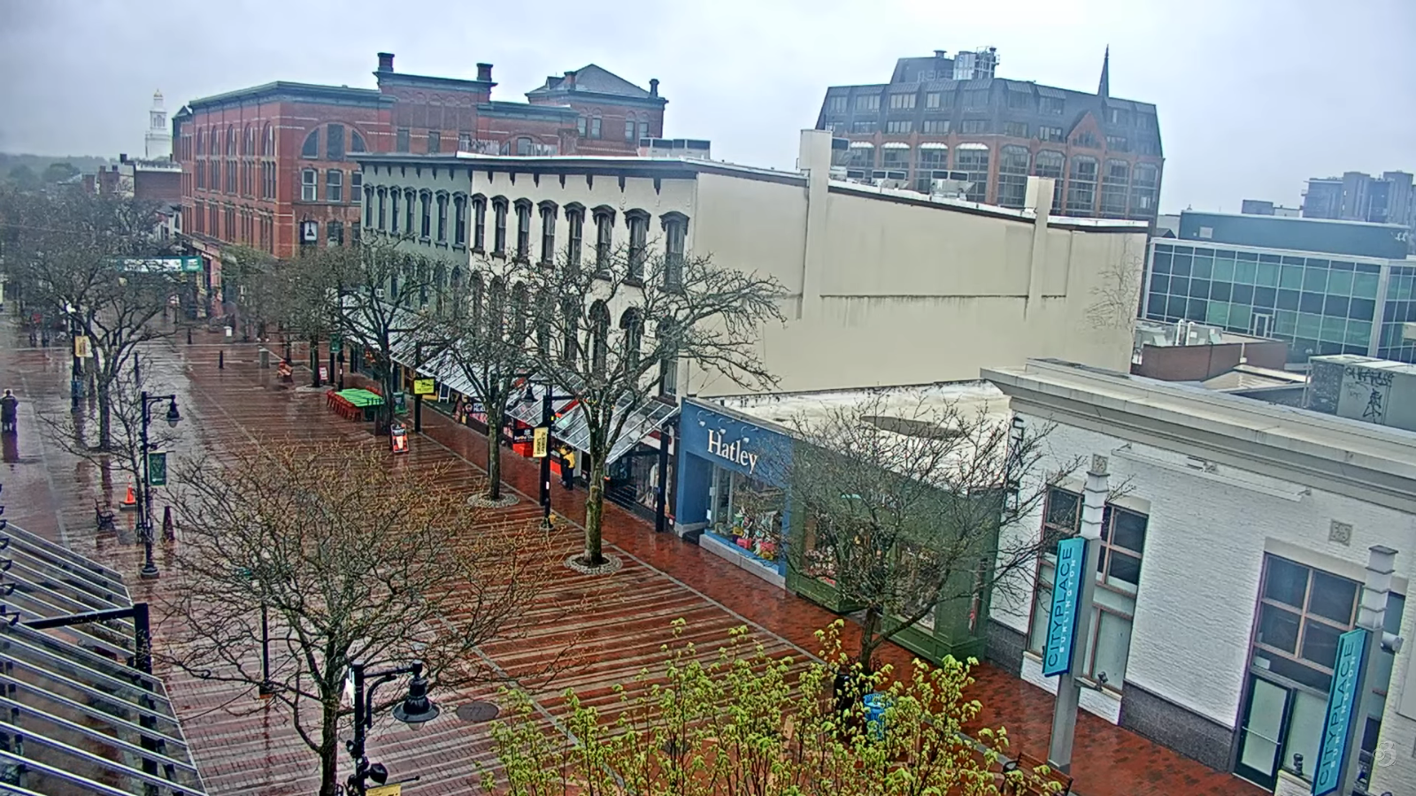
Roger Hill’s forecast 3:00 PM THURSDAY 5-14-26
TONIGHT: Overcast. Showers or periods of rain, moderate at times. A low mid-40s. Light northeast winds.
TOMORROW: Gray skies give way to a few afternoon sunny breaks. Showers, some moderate at times, becoming isolated late. Storm rainfall totals 1-2”. A high about 60. Light east to northeast winds.

FRIDAY NIGHT: Maybe a sprinkle toward the Champlain Valley. Otherwise becoming mostly clear. Patchy valley fog. A low 40 to 45. Light west winds.
SATURDAY: Sunshine with a few high clouds. Slightly humid. A high 70 to 75. Southwesterly breeze 10 to 15 mph.
Looking further ahead
SATURDAY NIGHT: Partly to mostly cloudy. A round scattered passing showers. Lows around 55.
SUNDAY: Mostly sunny. Highs mid-60s to low 70s.
MONDAY: Filtered sun thru high cloudiness. Lows lower 40s. Highs reaching into the 70s and slightly humid.
TUESDAY: Partial hazy sunshine. Warm. Chance for afternoon showers and thunderstorms…some possibly strong. Rather Muggy. Lows upper 50s to mid-60s. Highs 75 to 85.
Average low: upper 30s to mid-40s Average high mid to upper 60s.
Start of meteorological summer or warmest 90 days June 6th…
RH/5-14/forecast][end] Fox Trot Delta Tango
