
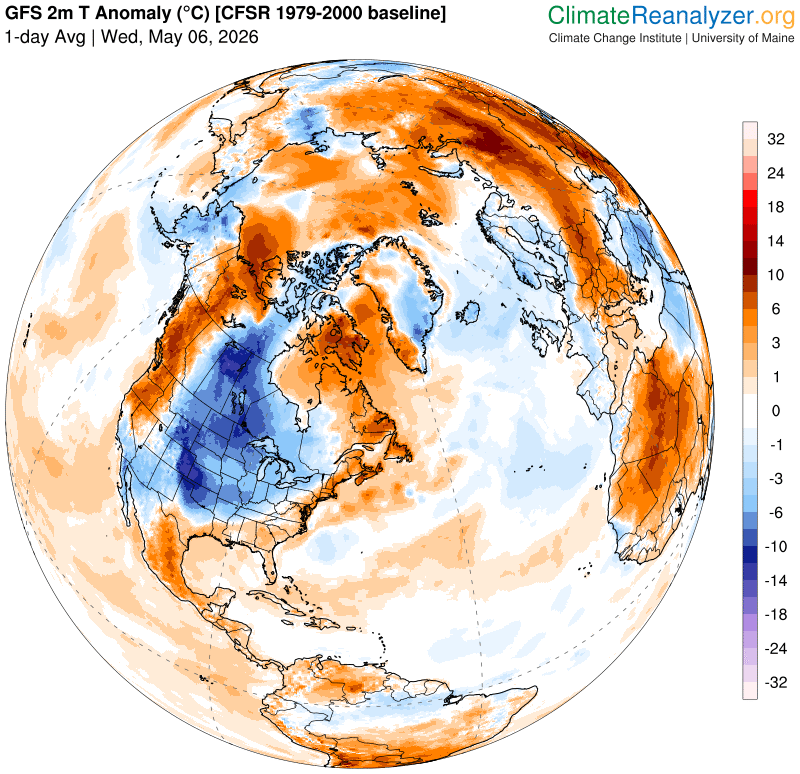
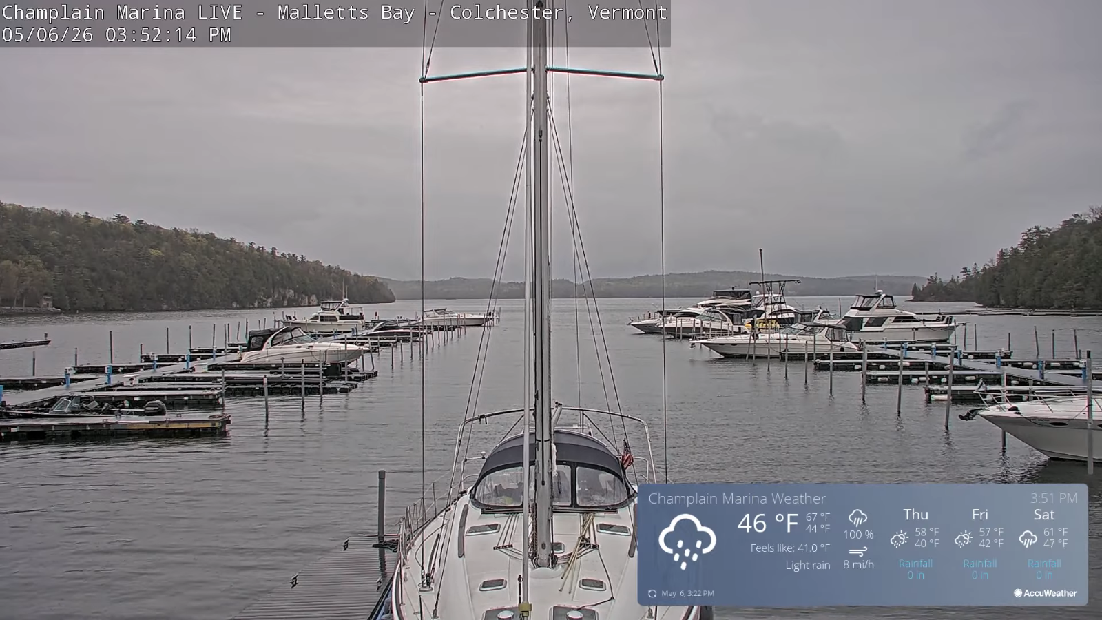
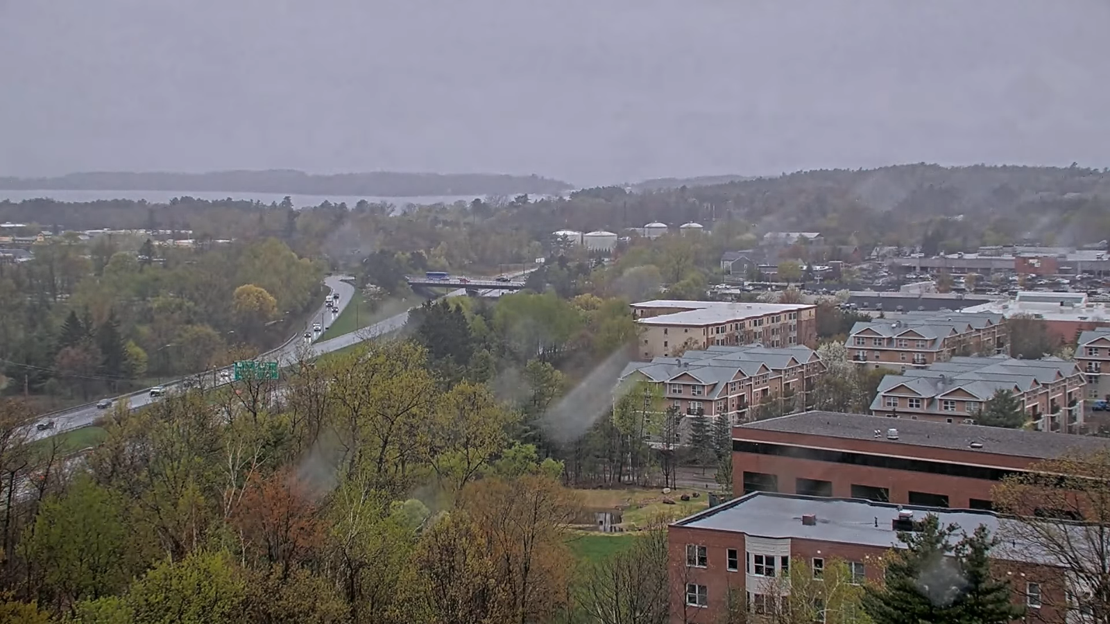
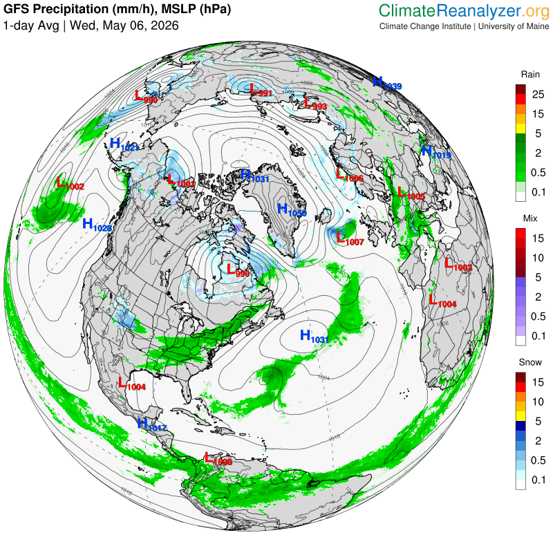
TONIGHT: Showers exiting as a couple northern mountain sprinkles overnight. , then partly cloudy. Patchy valley fog. A low 35 to 40. Light northwest winds.
TOMORROW: A stray sprinkle or two early,otherwise partly to mostly cloudy. A high 50 to 55. Becoming blustery. West winds pick up 10 to 15 mph.
THURSDAY NIGHT: Scattered clouds or mostly clear. A low 32 to 35. Light west winds.
FRIDAY: A stray rain shower mixed with wet snow flakes early, otherwise mixed clouds and sun. Below normal. A high upper 40s/near 50. A bit blustery. Northwest winds 10 to 15 mph.
Looking further ahead
FRIDAY NIGHT: Clear with a few more clouds overnight. A low around 32.
SATURDAY: Morning sun then afternoon clouds. Chance for afternoon showers developing southern areas. Highs mid to upper 50s.
SUNDAY: Clouds with breaks of sun. Chance for a few rain showers. Lows in the lower 40s. Highs 60 to 65.
MONDAY: Mainly gray. Continued threats for more rain showers. Lows 35 to 40. Highs low to mid 50s.
Average low: mid-30s to around 40 Average high low to mid 60s.
Start of meteorological summer or warmest 90 days June 6th…
RH/5-6/forecast][end] Fox Trot Delta Tango
