
Roger Hill’s forecast 3:00 PM FRIDAY 4-17-26
TONIGHT: Clear this evening, partly cloudy overnight. A low 40 to 45. Light southeast winds.
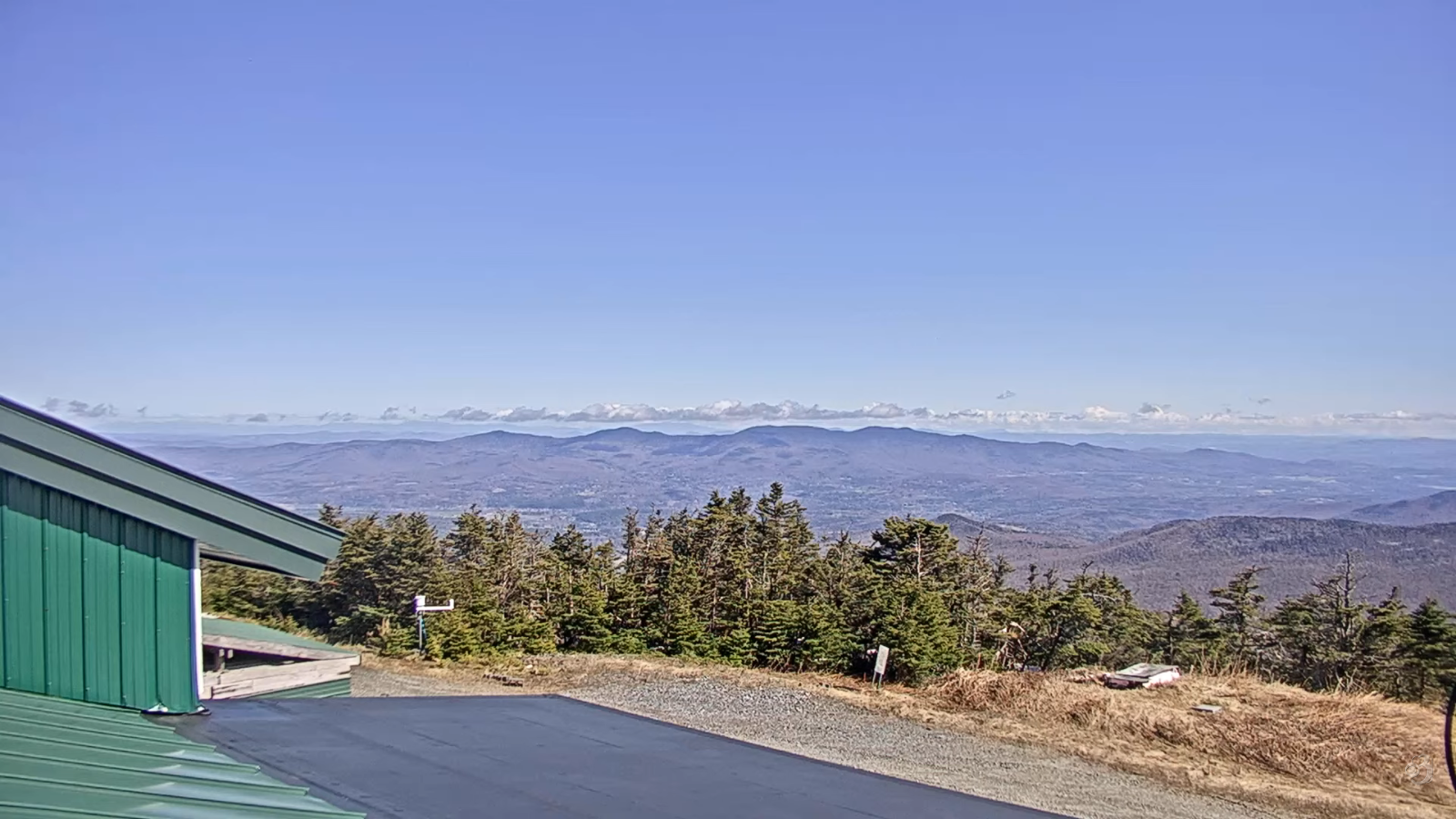
TOMORROW: Pick of the weekend.Sunshine with a few high clouds. A high 60 to 65. Southeast breeze picking up 10 to 20 mph stronger and gusty near Lake Champlain
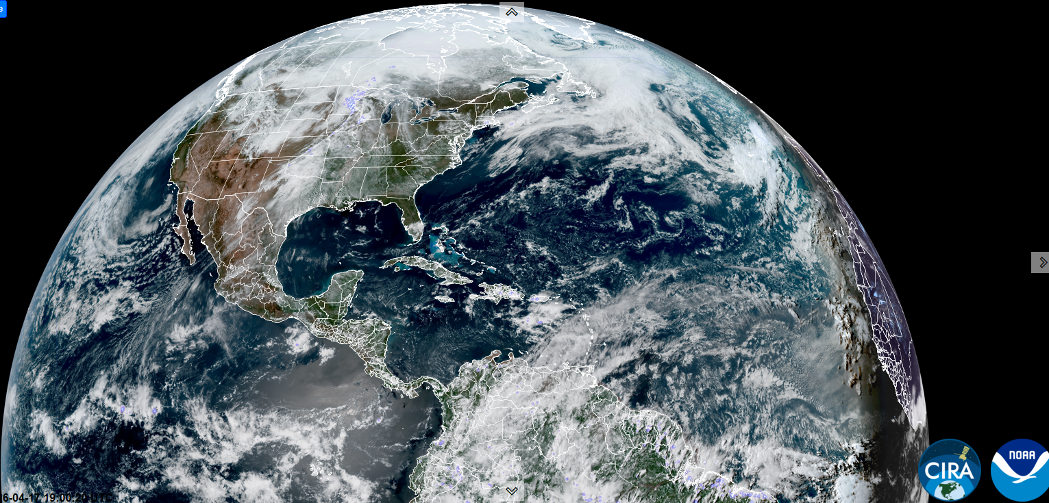
SATURDAY NIGHT: Increasing clouds. Showers becoming likely, moderate at times toward daybreak. A low 40 to 45. South winds 10 to 15 mph stronger near the lake…shifting to northwesterly around daybreak.
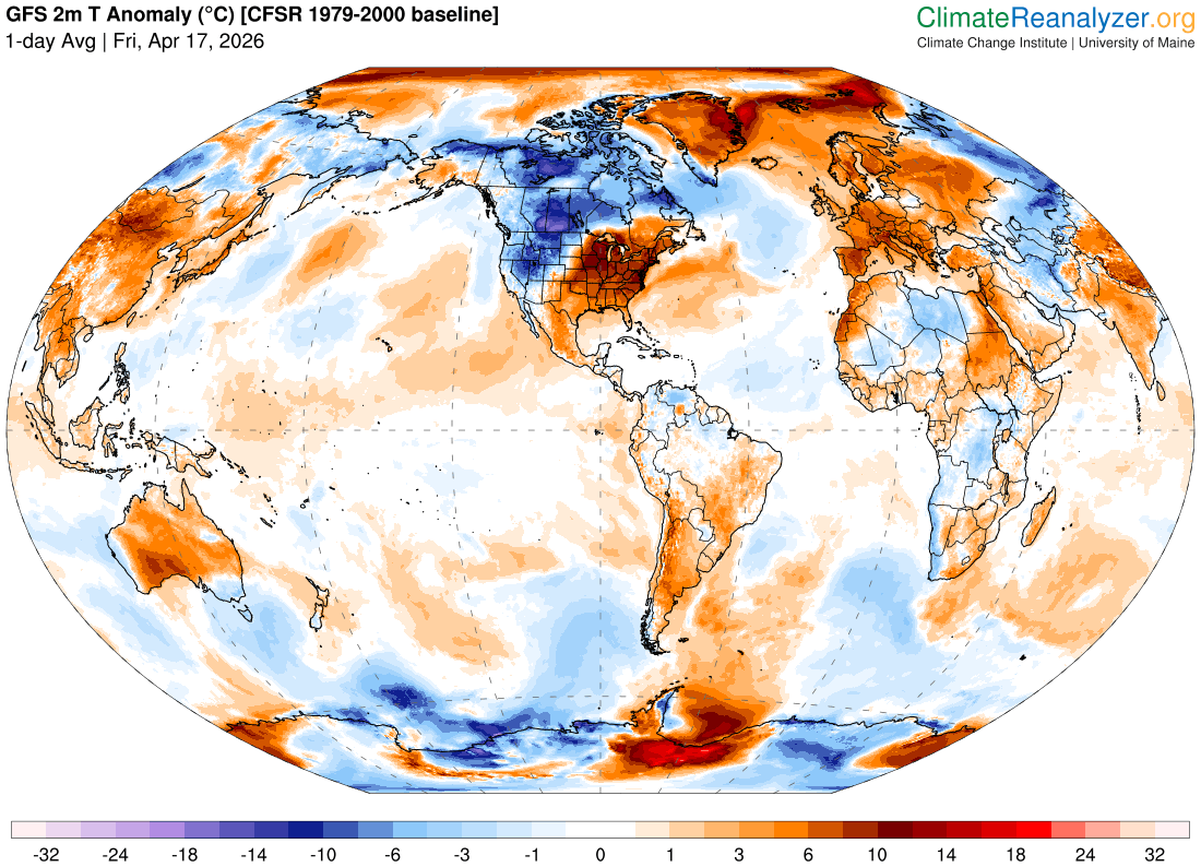
SUNDAY: Cloudy. Showers likely mixing or changing to wet slushy snow in the afternoon. Slushy trace to 2”.Sharply colder, well below normal temperatures 32 to 35. Northwest winds 10 mph.
Looking further ahead
SUNDAY NIGHT: Clear in the evening, then cloudy periods. Chance for snow showers, especially overnight. A light snow coating with slippery travel. Lows near 25.

MONDAY: Mostly cloudy & very chilly. Maybe a stray flurry, Highs mid-30s.
TUESDAY: Mostly sunny early, followed by afternoon clouds. Lows low to mid 20s. Temperatures rebounding to around 45.
WEDNESDAY: Considerable cloudiness. Chance for a few rain showers. Lows around 35. Highs around 50.
Average low: upper 20s to mid-30s Average high mid to upper 50s.
RH/4-17/forecast][end] Fox Trot Delta Tango
