
Roger Hill’s forecast 3:00 PM WEDNESDAY 4-15-26
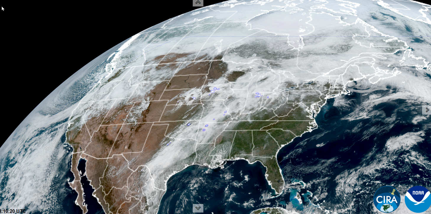
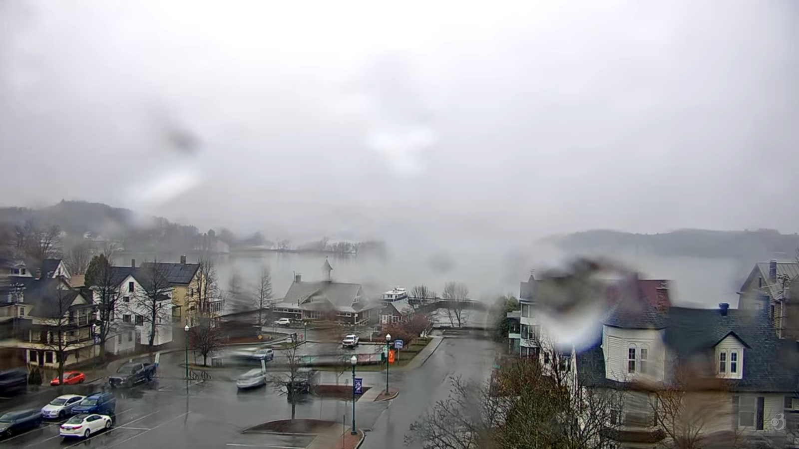
TONIGHT: Cloudy. Rain showers, some moderate at times central and southern areas later this evening. Maybe a rumble of thunder south. Areas of fog. A low upper 40s to mid-50s. Little wind.
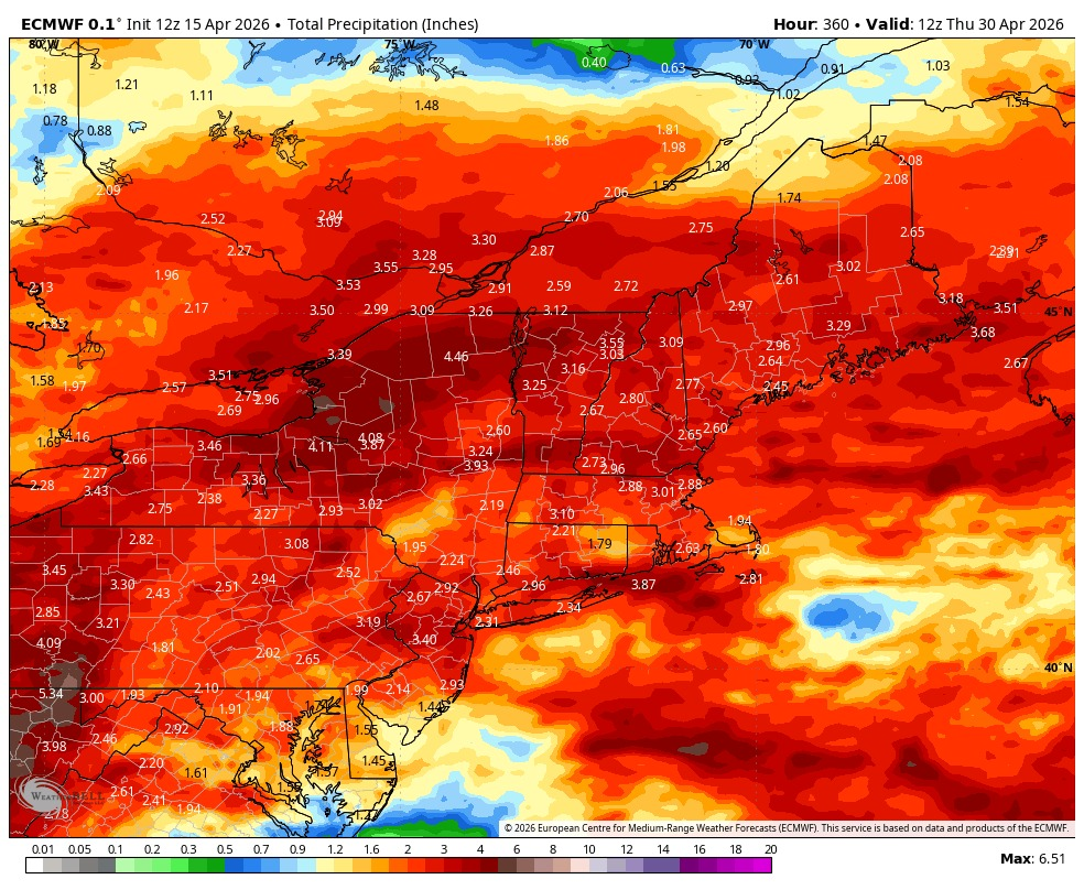
TOMORROW: Variable clouds. Rain showers likely moderate at times. Risk of afternoon thunder for the southern counties.A bit muggy.A high in the low 70s. Light southwest winds, but stronger near Lake Champlain.
THURSDAY NIGHT: Mainly cloudy. Lingering showers likely, some moderate at times. A low about 50 to 55. Light southwest winds.
FRIDAY: Scattered showers with a risk for a rumble of thunder in the morning, exiting in the afternoon to increasing sunshine.A high mid to upper 60s. North winds 10 mph in the afternoon.
Looking further ahead
FRIDAY NIGHT: Clear in the evening, then considerable low clouds and fog. Lows mid to upper 40s.
SATURDAY: Pick of the weekend.Sun mixing with more clouds. Highs 65 to 70.
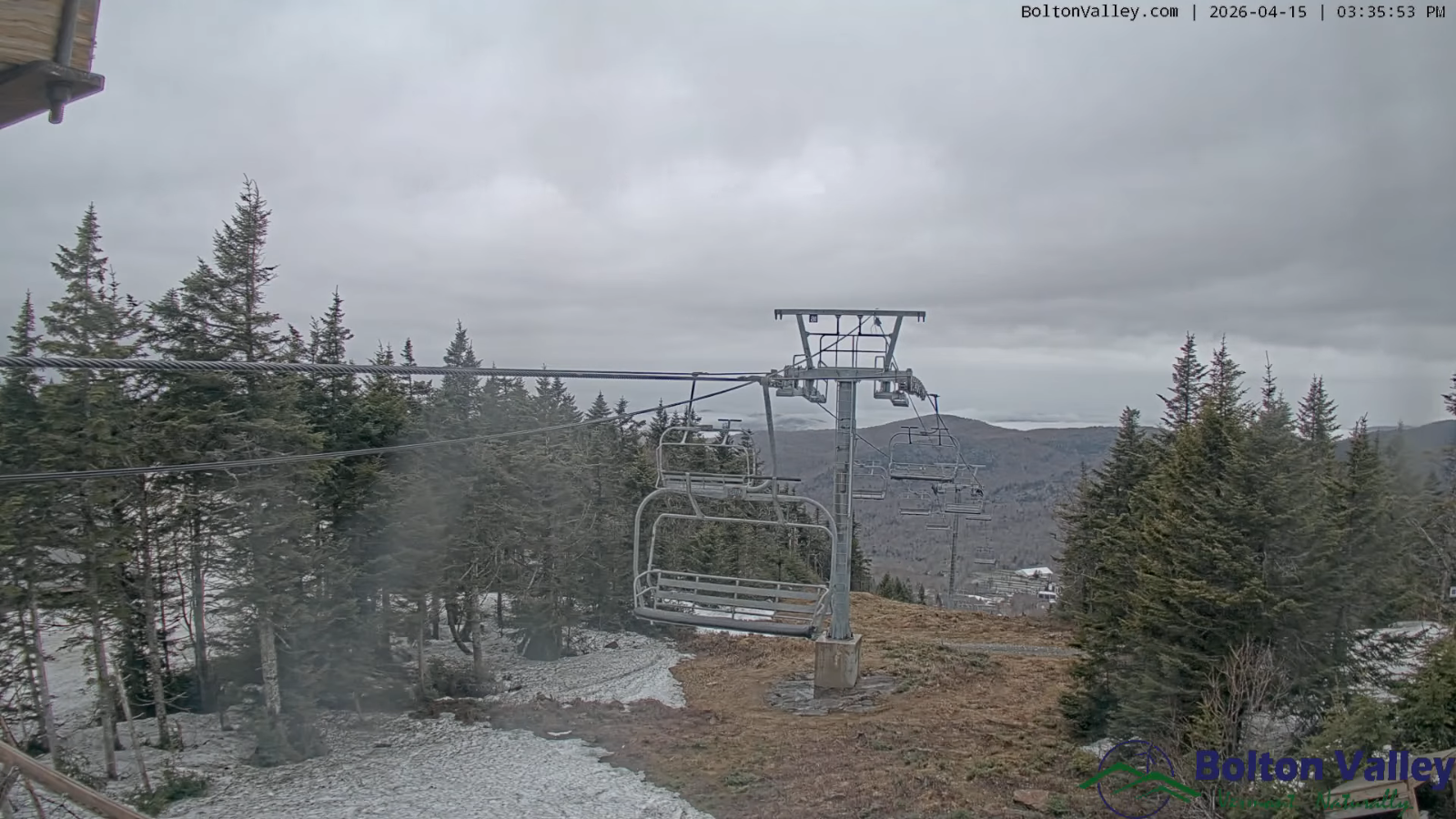
SUNDAY: Mostly cloudy. Chance for showers…mixed with light accumulating wet snow elevated terrain. A light coating mainly grassy surfaces.Temperatures near 40 early…then (briefly back to late winter) blustery and colder withtemperatures falling into the mid and upper 30s.
MONDAY: Clouds mixed with intervals of sun. (Briefly back to late winter) Lows 20s. Highs just around 35.
Average low: upper 20s to mid-30s Average high mid to upper 50s.
RH/4-15/forecast][end] Fox Trot Delta Tango
