

Roger Hill’s forecast 3:00 PM MONDAY 4-13-26
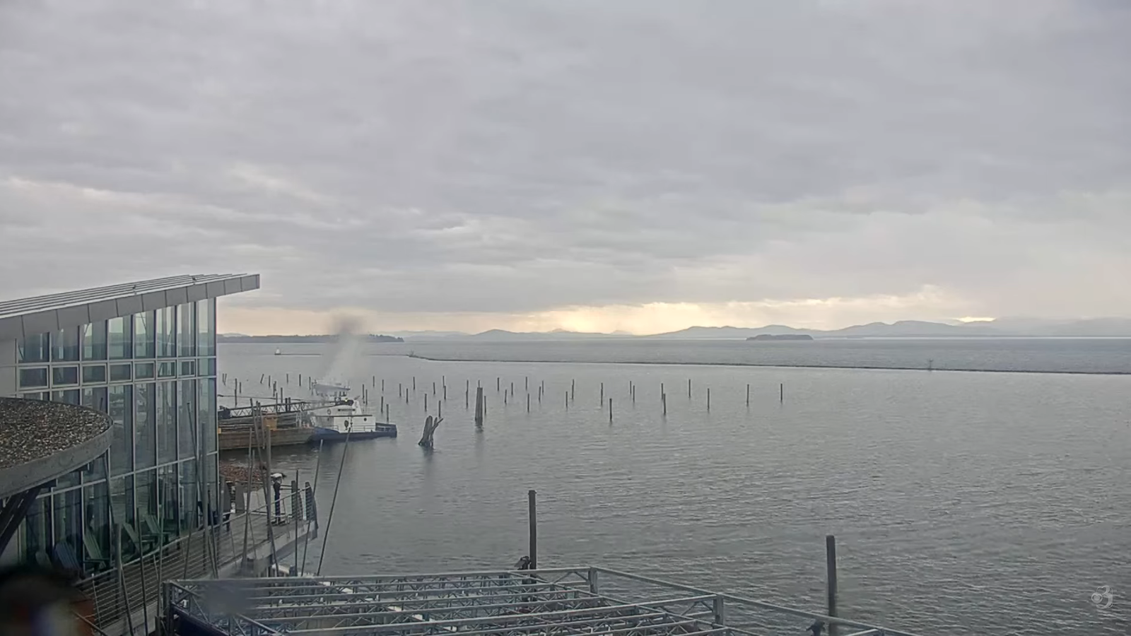
TONIGHT: Lots of clouds with areas of fog. Rain showers gradually drying up overnight.A low in the 40s. West to northwest winds 10 mph diminishing.
TOMORROW: Scattered rain showers likely in the afternoon with a few rumbles of thunder southern Vermont. A high 65 to 70. Light south winds.
TUESDAY NIGHT: Considerable clouds with widespread fog. Isolated leftover sprinkles. A low upper 40s to middle 50s. Little wind.
WEDNESDAY: Mainly high clouds with a hint of sun. Chance for afternoon showers, & possible thunderstorms southern Vermont. A high 65 to 70. Light west winds.
Looking further ahead
WEDNESDAY NIGHT: Mid & high overcast. Patchy valley fog. Maybe a few sprinkles. Lows ranging thru the 50s.
THURSDAY: Variable clouds. Chance for rain showers and the risk for afternoon thunder northern areas.Highs around 70.
FRIDAY: More clouds than sun.Scattered showers and afternoon thunderstorms followed by clearing.Lows 50s.Highs 70 to 75.
SATURDAY: Mainly gray. Lows around 50. Highs 65 to 70.
Average low: upper 20s to mid-30s Average high mid to upper 50s.
RH/4-13/forecast][end] Fox Trot Delta Tango
