
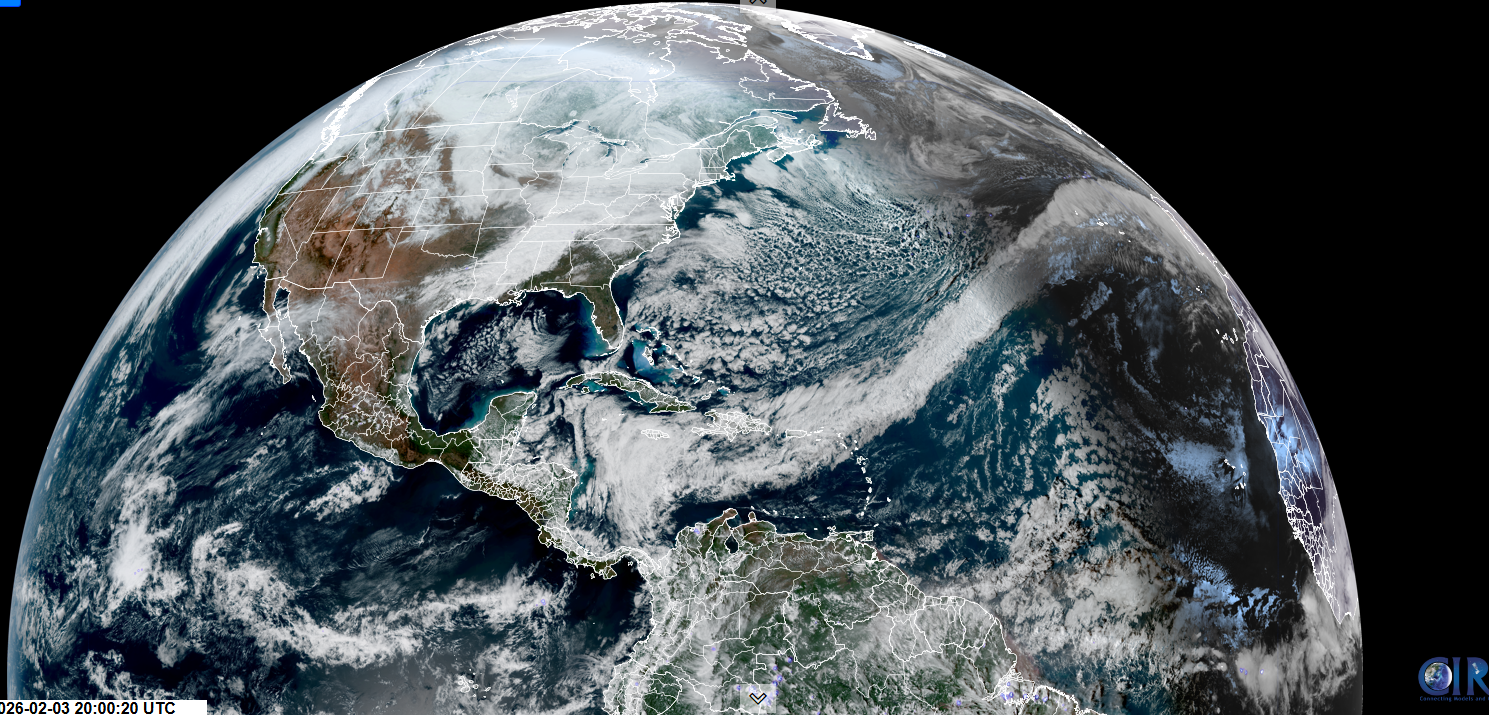
Roger Hill’s Radio Vermont Forecast 3:00 PM TUESDAY 2-3-26
TONIGHT: Lots of clouds. A few flurries developing before daybreak with a light coating northern areas. A low ranging zero to 15 above. Light southwest winds.
TOMORROW: Chance for flurries in the morning exiting before mid-day. Otherwise mixed clouds and sun. A high in the mid-20s. Northwest winds 10 mph.
WEDNESDAY NIGHT: Considerable cloudiness with a northern mountain flurry or two. A low 5 to 10 above. Light west winds.
THURSDAY: Becoming partly to mostly sunny late morning on. A high 15 to 20. Light northwest winds.
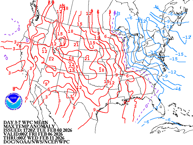
Looking further ahead
THURSDAY NIGHT: Scattered clouds partially moonlit. Frigid. Lows ranging zero to 15 below.
FRIDAY: Variable clouds. Rising chance for flurries light snow showers. Highs low 20s.
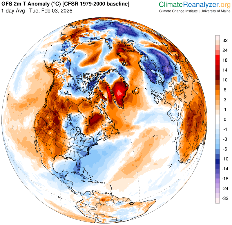
SATURDAY: Gray. Chance for light snow or snow showers…with a risk of snow squalls. About an inch or two accumulation. A low 5 to 15 above. Early highs mid-teens, then sharply colder in the afternoon. Blustery with low wind chills and blowing & drifting snow.
SUNDAY: Any mountain flurries dry up early…otherwise increasing sunshine. Bitterly cold. Lows 5 to 15 below. Highs just zero to 5 above.
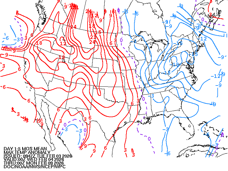
Average low: single digits to low teens. Average high mid-20s to low 30s
Approx. end of climatological Winter March 9th
Vernal Equinox March 20th 10:46 AM
RH/2-2/forecast][end] Fox Trot Delta Tango
