
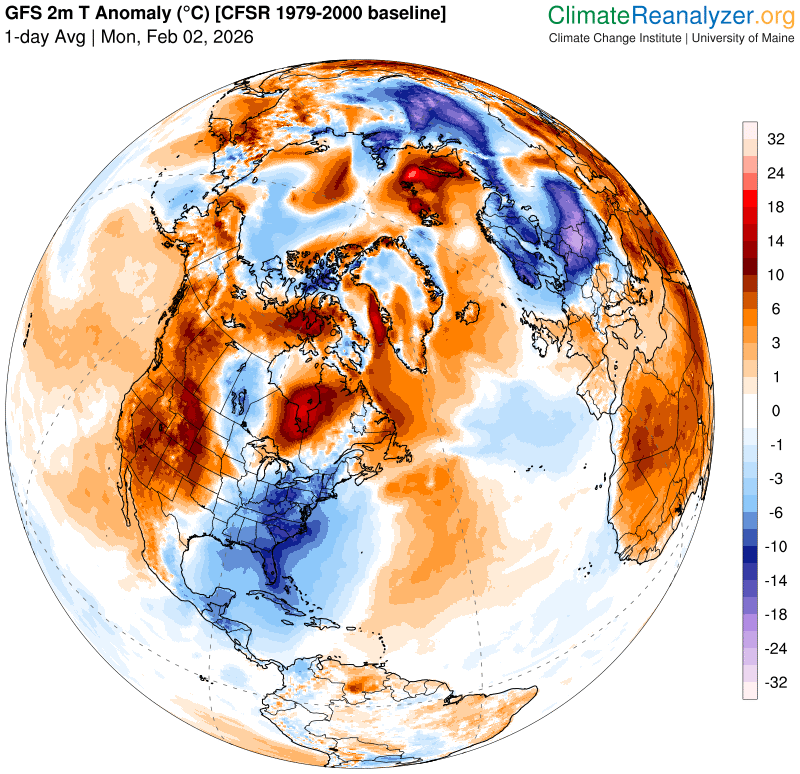
Roger Hill’s Radio Vermont Forecast 3:00 PM MONDAY 2-2-26
TONIGHT: Clear & partially moonlit with high cloudiness toward daybreak.A low 5 above to 10 below. Little wind.
TOMORROW: Sunshine with some late day cloudiness. Near seasonal in the afternoon. A high around 25. Little wind.
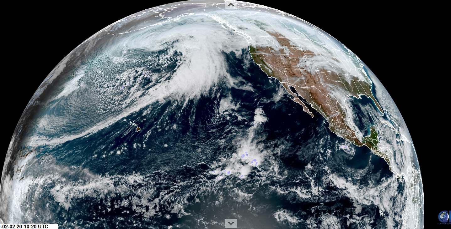
TUESDAY NIGHT: Lots of clouds. Rising chance for flurries after midnight. A dusting or light coating. A low ranging 5 to 15 above. Light west winds.
WEDNESDAY: Chance for flurries in the morning exiting before mid-day. Otherwise mixed clouds and sun. A high in the low to mid 20s. Northwest winds 10 mph.
Looking further ahead
WEDNESDAY NIGHT: A few cloudy periods. A low zero to 10 above.
THURSDAY: Partly to mostly sunny. A high in the upper teens.
FRIDAY: Mostly cloudy. Rising chance for flurries light snow showers. Frigid. Lows 5 to 15 below. Highs 20 to 25.
SATURDAY: Clouds give way to intervals of afternoon sun. Becoming blustery with scattered snow showers and a risk of snow squalls. Dusting to 2 inches accumulation.
Temperatures in the teens at night then sharply colder…falling zero to minus 10 in the afternoon.
Average low: single digits to low teens. Average high mid-20s to low 30s
Approx. end of climatological Winter March 9th
Vernal Equinox March 20th 10:46 AM
RH/2-2/forecast][end] Fox Trot Delta Tango
