
High Wind Warnings and Wind Advisories expire late today. Flood Watch this afternoon thru Saturday evening with rising streams/rivers.
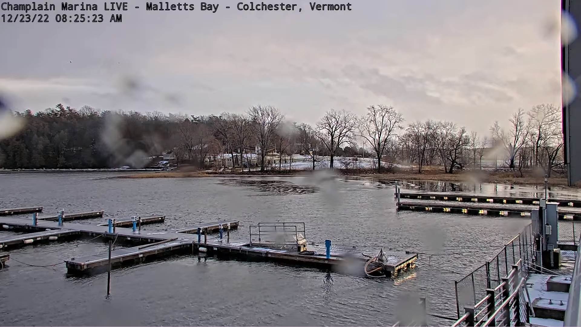
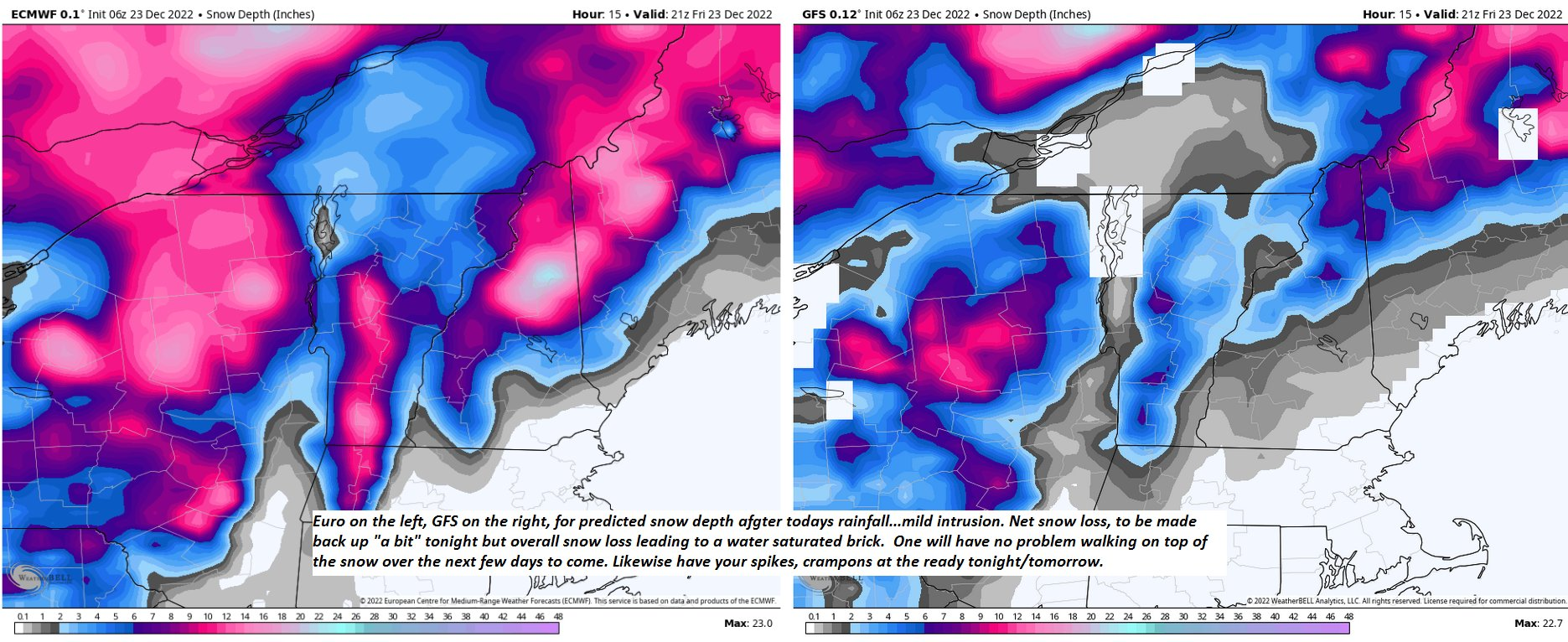
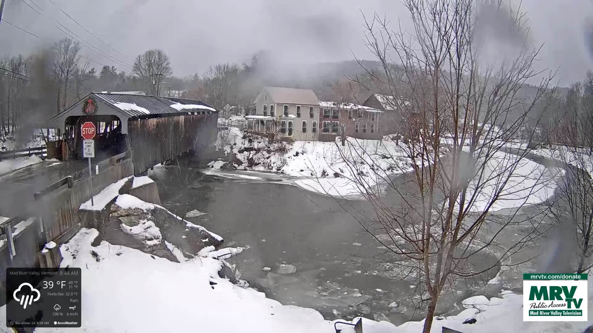
TODAY: Gray. Periods of wind-blown rain, or showers moderate at times. Much milder as temperatures rise to almost 50. Southeasterly winds 15 to 30 mph with gusts exceeding 50 mph strongest for a time morning…decreasing some for the afternoon.
TONIGHT: Mainly cloudy. Rain showers rapidly transitions to a round of snow showers/squalls…moderate to briefly heavy with a quick coating of snow…and a “Flash-Freeze condition producing hazardous travel. A low around 5 above. Winds shifting to southwesterly 10 to 25 mph and gusty lowering wind chills.
SATURDAY: Lots of clouds but a few breaks of sunshine away from the mountains. A high in the low to mid-teens. Southwest winds 10 to 20 mph.
Looking Further Ahead…
SATURDAY NIGHT Christmas Eve: Lots of clouds. Chance for a brief flurry. A low 5 to 10 above.
SUNDAY Christmas Day: Clouds with a few intervals of sunshine. Maybe a northern border flurry. A high in the lower 20s.

MONDAY: Clouds mixing with intervals of sunshine. A few northern flurries. A low near 10. A high about 25.
TUESDAY: Partly to mostly cloudy. Chance for snow showers or flurries with minor accumulation. A low 5 to 10 above. A high 20 to 25.
WEDNESDAY: Partly sunny. Chance for flurries. A low 5 above to 5 below. A high about 25.
Average lows upper single digits to mid-teens. Average highs mid-20s to mid-30s
Climatological winter peaks approx. January 22nd ends March 9th…
RH/12-21forecast][end]
