
TODAY: Periods of sun mixed with clouds. A high in the mid to upper 30s. Light southwest winds.
TONIGHT: Mostly cloudy.Scattered flurries northern areas with little to no accumulation. A low mid to upper 20s. Light southwest winds.
WEDNESDAY: Mostly cloudy. Chance for a few flurries, sprinkles northern areas. A high in the upper 30s. West to northwest winds 10 mph.
Looking Further Ahead…
WEDNESDAY NIGHT: Mostly cloudy. Slight chance for a flurry. A low in the mid-20s.
THURSDAY THANKSGIVING DAY: “Pick of the week” Periods of sun, mixed with more clouds in the afternoon. Seasonable in temperature. A high upper 30s to near 40.
FRIDAY: Mainly gray. Rising chance for rain & wet snow showers with minor accumulation high elevations. Becoming rather blustery. A low 30 to 32. A high 40 to 45.
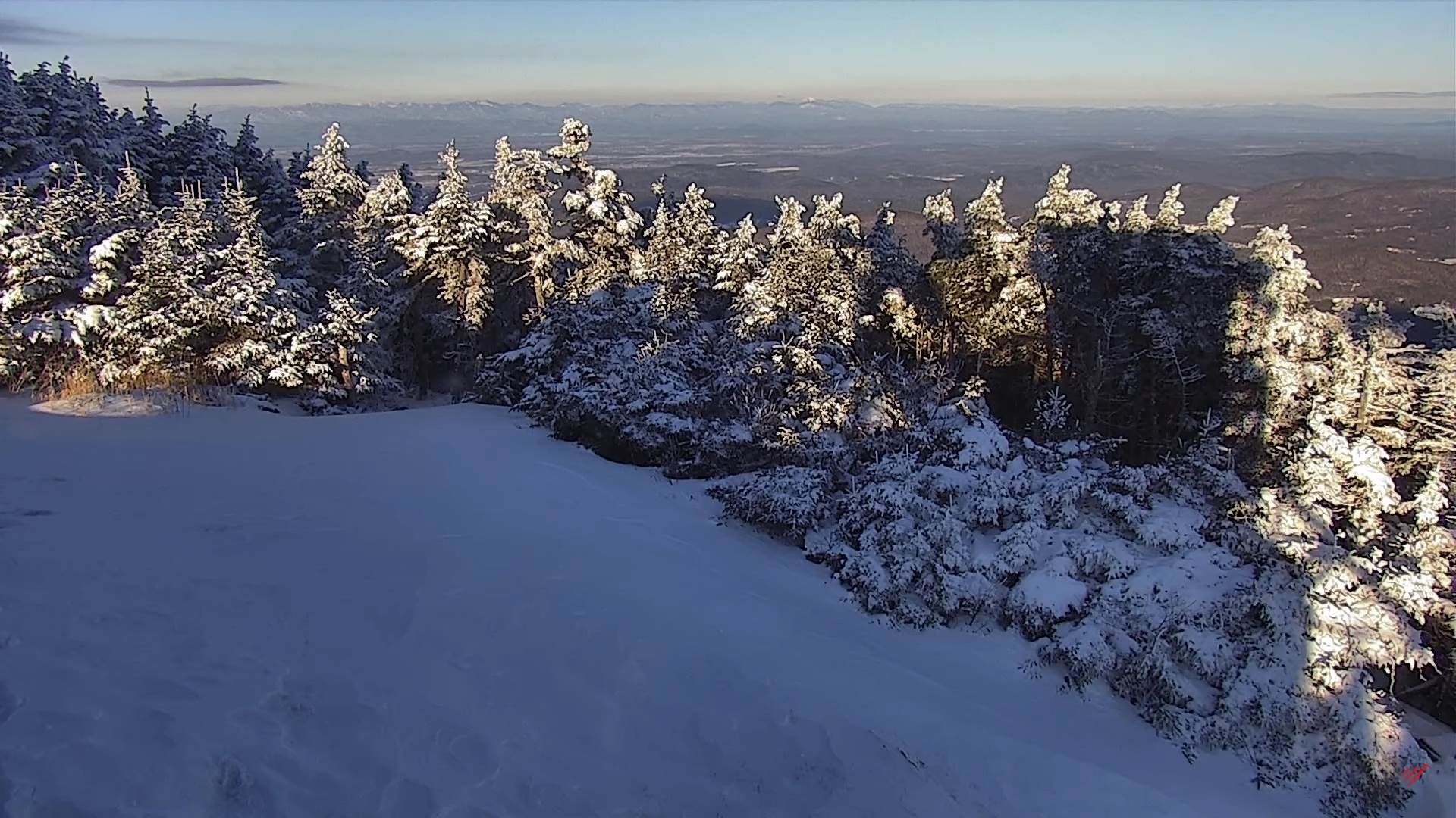
SATURDAY: A few mountain snow showers and valley flurries drying up by mid-day. Increasing afternoon sunshine. A low in the upper 20s to around 30. A high around 40.
SUNDAY: Gray. Rising chance for rain in the afternoon, with a threat for mixed precipitation…making for slick travel. A low near 32. A high in the mid-40s.
Average lows low to mid 20s. Average highs upper 30s to mid-40s
RH/11-22forecast][end]
