
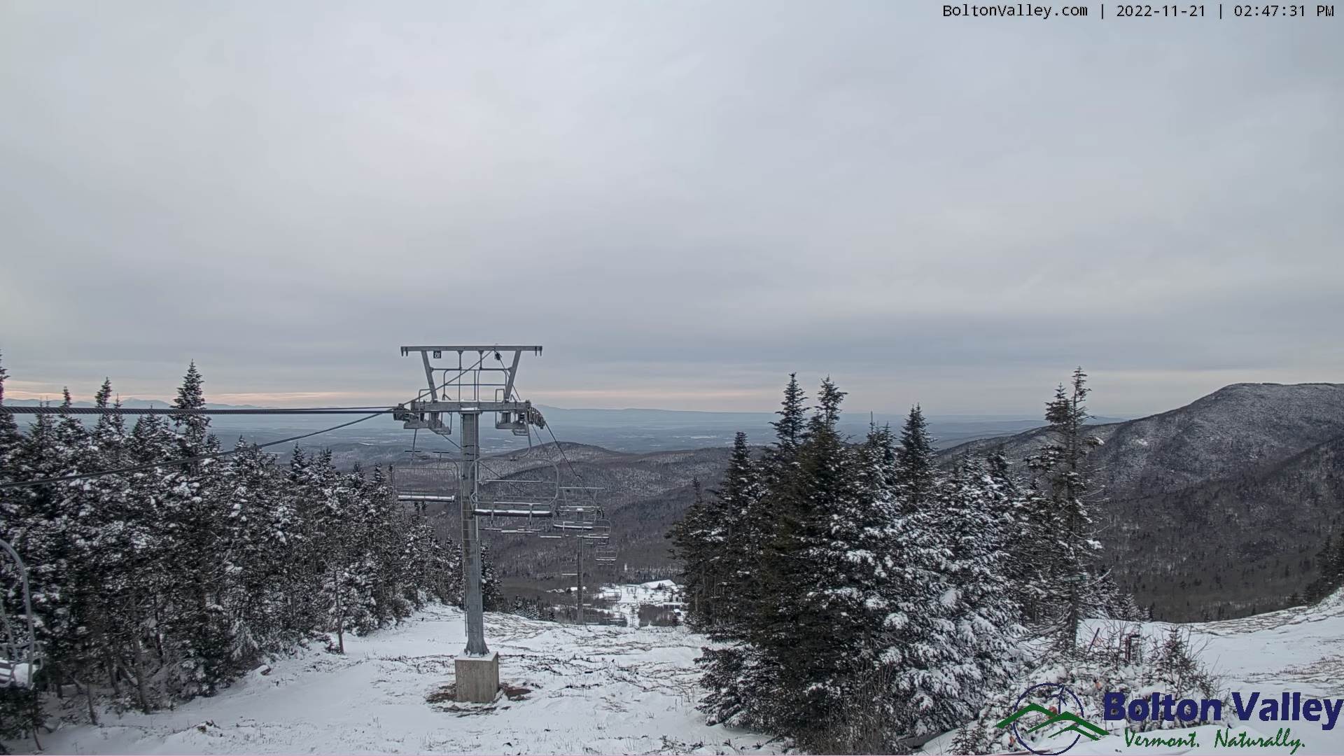
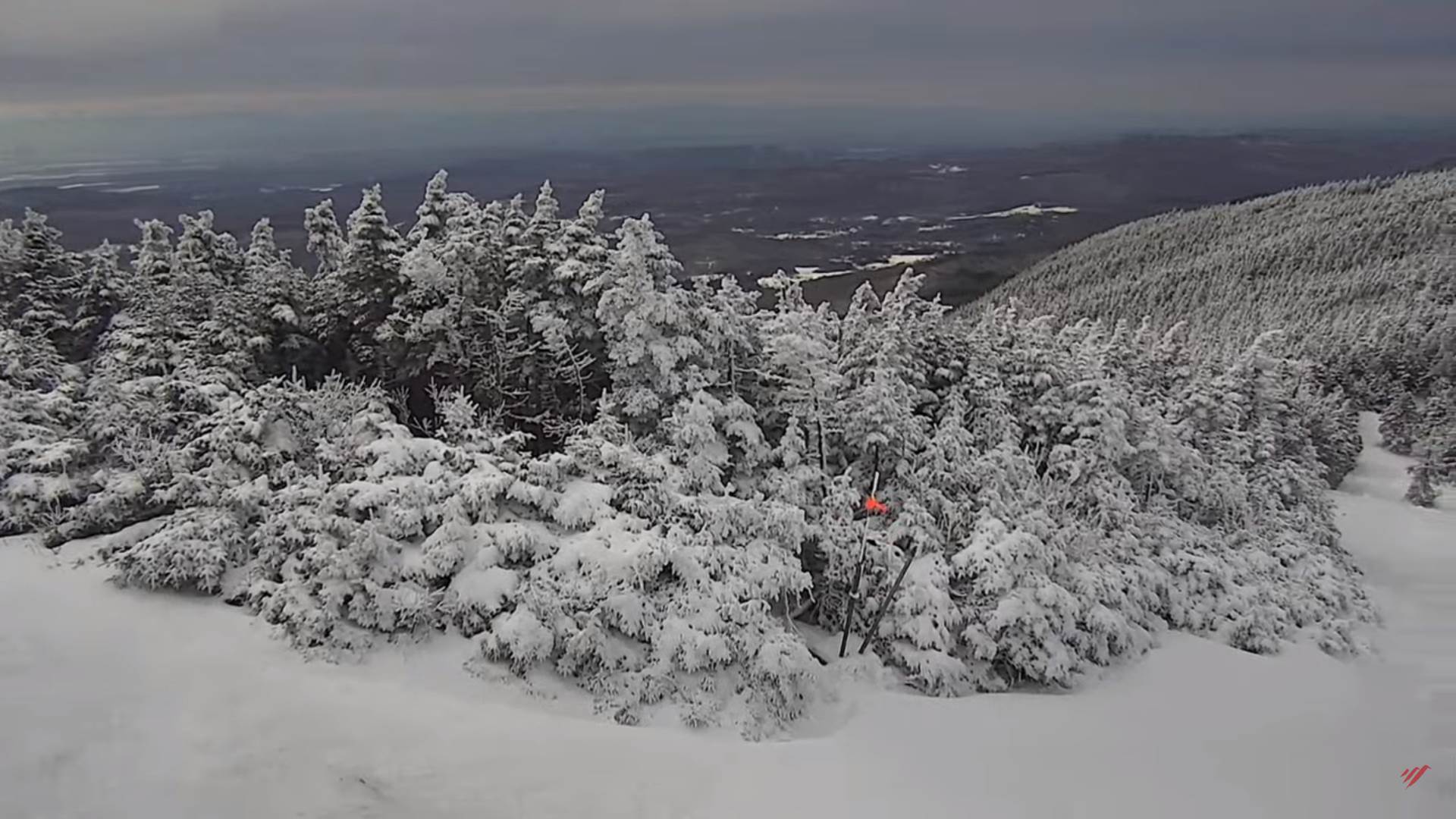
TONIGHT: Lots of clouds and a bit blustery. Scattered mountain snow showers and valley flurries mainly north of the Barre-Montpelier area late evening on. A minor coating of snow in spots. A low mid to upper 20s. Southwest winds shifting to northwesterly overnight 10 to 20 mph.
TOMORROW: A few leftover northern mountain flurries exiting early, otherwise periods of sun mixed with clouds. A high mid to upper 30s. Light southwest winds.
TUESDAY NIGHT: Mostly cloudy.Scattered mountain snow showers & valley flurries northern areas. Accumulations dusting to an inch. A low near 25. Light southwest winds.
WEDNESDAY: Mostly cloudy. Maybe a few flurries, early, and again late. A high in the upper 30s. West to northwest winds 10 mph.
Looking Further Ahead…
WEDNESDAY NIGHT: Mostly cloudy. Slight chance for a flurry. A low 20 to 25.
THURSDAY THANKSGIVING DAY: “Pick of the week” More clouds than sun. A high upper 30s to near 40.
FRIDAY: Mainly gray. Rising chance for rain showers mixing with accumulating wet snow in the higher terrain. A low 25 to 30. A high in the low to mid 40s.
SATURDAY: A few morning flurries, exiting to increasing afternoon sunshine.
Average lows low to mid 20s. Average highs upper 30s to mid-40s
RH/11-21forecast][end]
