
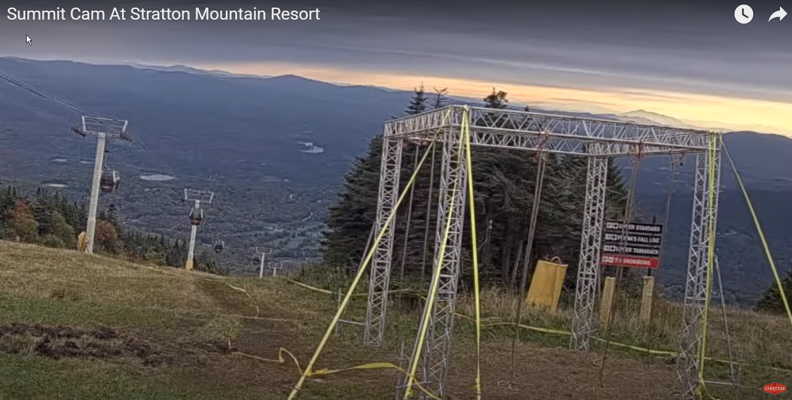
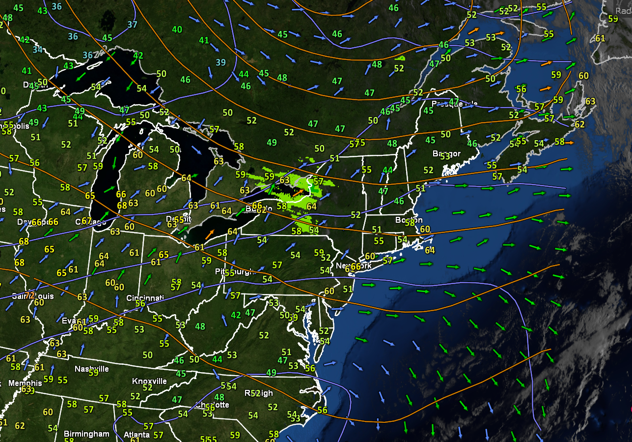
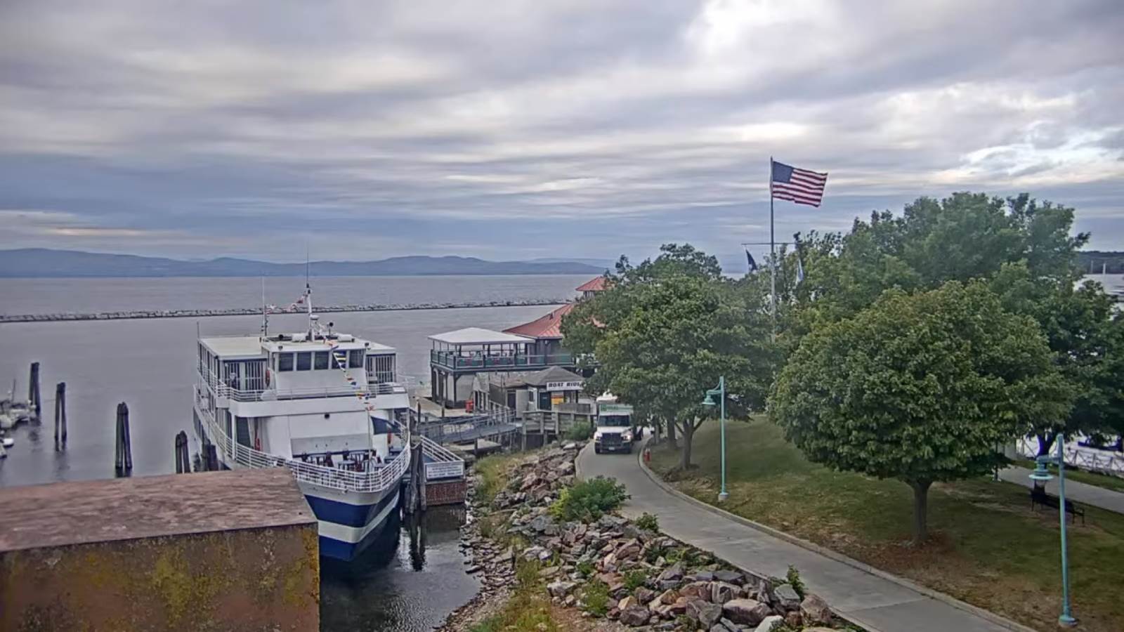
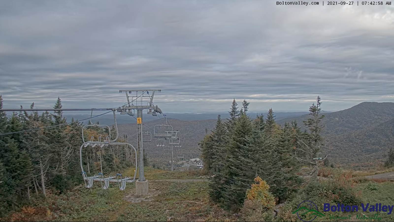
TODAY: Brief morning sun…then clouding up. Showers likely by late morning. A high in the low to mid 60s. Southwest breeze 10 to 15 mph.
TONIGHT: Considerable cloudiness. Scattered light showers. A low 45 to 50. Light northwest winds.
TUESDAY: Chance for morning showers gradually exiting central and southern areas, otherwise mainly gray with a few breaks of sun in the afternoon. A high 60 to 65. Light northwest winds.
Looking further ahead…
TUESDAY NIGHT: Becoming partly cloudy to mostly clear. Cooler. Patchy valley fog. A low upper 30s to around 40.

WEDNESDAY: Considerable cloudiness. Widely scattered showers or sprinkles. A few wet snowflakes in the mountains early. A high in the mid-50s.
THURSDAY: Generally gray. Chance for showers. A low 40 to 45. A high around 55.
FRIDAY: Mostly cloudy. Scattered rain showers possible mixed with a wet snow flakes. A low upper 30s to low 40s. A high 55 to 60.
SATURDAY: Partly sunny. Increasing high cloudiness in the afternoon. A low around 40. A high in the mid-60s.
Average low upper 30s to low 40s. Average highs low to mid 60s.
RH/9-27forecast][end]
