
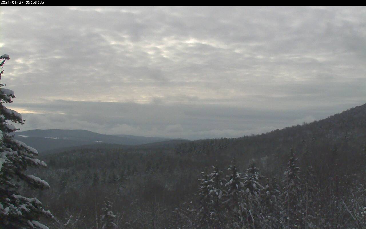
TODAY: Morning flurries or light snow showers becoming isolated confined to the mountains this morning. A dusting or so. Otherwise, lots of clouds but little milder. A high near 32. Wind becoming light and northwesterly.
TONIGHT: Cloudy. Occasional flurries and light snow showers with a light fluffy coating. A low mid to upper teens. Light northwest winds.
Full Wolf Moon 2:16 PM Thursday
THURSDAY: Clouds with a few breaks of sun southern and eastern areas. Scattered flurries. A high 20 to 25. Northwest winds 10 mph.
Looking further ahead…
THURSDAY NIGHT: Clouds…give to partial clearing overnight. Frigid. “Diamond dust flurries.” A low 5 below to 5 above.
FRIDAY: Mostly cloudy, blustery at times & bitterly cold. “Diamond dust flurries.” A high upper single digits to about 10 above.
SATURDAY: Morning clouds, then arctic-like sunshine. “Diamond dust flurries.” Bitterly cold. A low ranging zero to 15 below. A high about 5 to 10 above.
SUNDAY: Arctic-like sunshine. Frigid. A low zero to 15 below. A high 10 to 15.
MONDAY: Mostly sunny. A low 10 below cold spots…to 5 above. A high mid to upper 20s.
TUESDAY: A few more clouds but lots of sunshine. A low around 10 to 15 above. A high pushing toward 30.
Average low ranging thru the single digits to low teens, Average highs mid-20s to low 30s
Peak of Winter End of Winter March 9th… based off local climatology.
RH/1-26 category forecast][end]
