
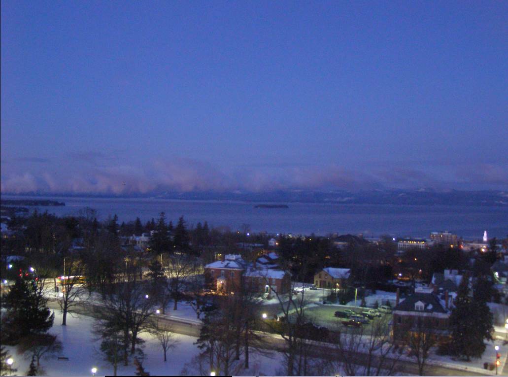
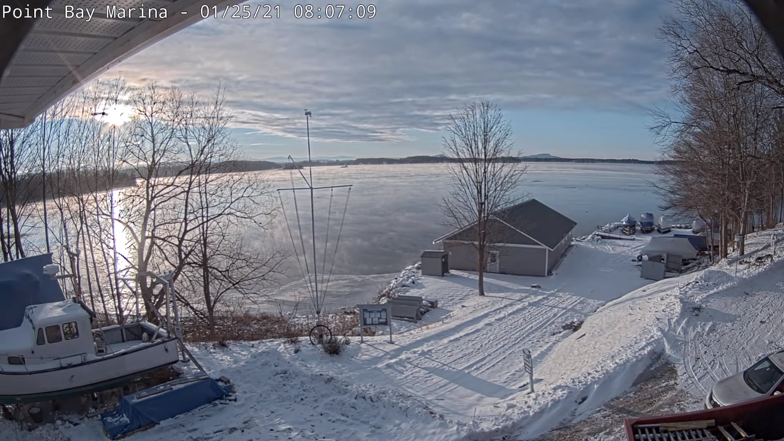
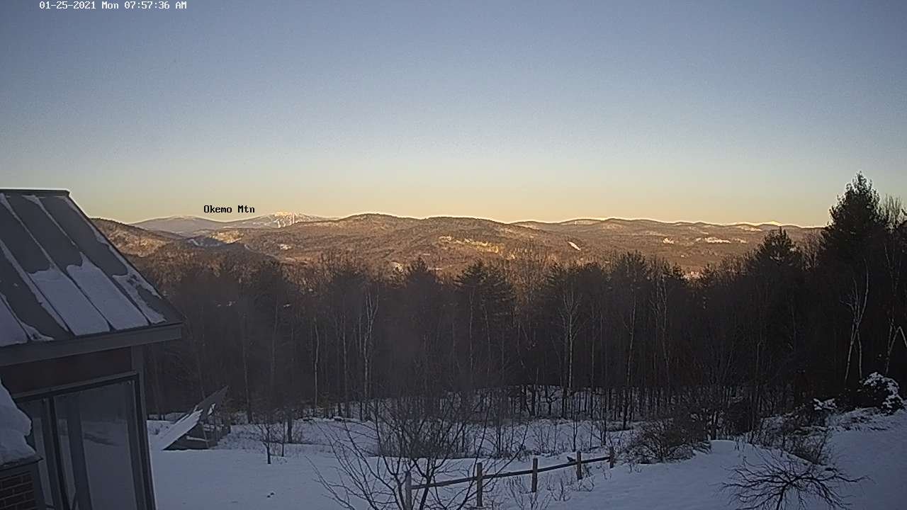
TODAY: Gorgeous winter day. Bright sunshine & blue skies gives way to high cloudiness. A high around 20. Light northwest winds.
TONIGHT: Some cloudiness otherwise fair. More clouds near the Quebec border with a few flurries possible. Frigid. A low 5 below to 5 above. Little wind.
TUESDAY: Filtered sunshine early, then thickening clouds. A rising chance for light accumulating snow southern areas later in the afternoon. A high in the mid to upper 20s. Little wind.
Looking further ahead…
TUESDAY NIGHT: Overcast. Periods of light accumulating snow or snow showers. Dusting to 2” northern areas…2 to locally 5” southern parts of Vermont. A low upper teens to around 20.
WEDNESDAY: Scattered leftover morning flurries exiting. Otherwise lots of clouds. A high near 30.
Full Wolf Moon 2:16 PM Thursday
THURSDAY: Considerable cloudiness. A few mountain flurries. Blustery at times. A low 5 to 15. A high 20 to 25.
FRIDAY: More clouds than sun & blustery and cold. “Diamond dust flurries” & blustery. A low 5 below to 5 above. A high 10 to 15.
SATURDAY: Partly sunny. “Diamond dust flurries” A low zero to 10 below. A high in the mid-teens.
SUNDAY: Arctic-like sunshine. A low zero to 10 below. A high 10 to 15.
Average low ranging thru the single digits to low teens, Average highs mid-20s to low 30s
Peak of Winter End of Winter March 9th… based off local climatology.
RH/1-25 category forecast][end]
