
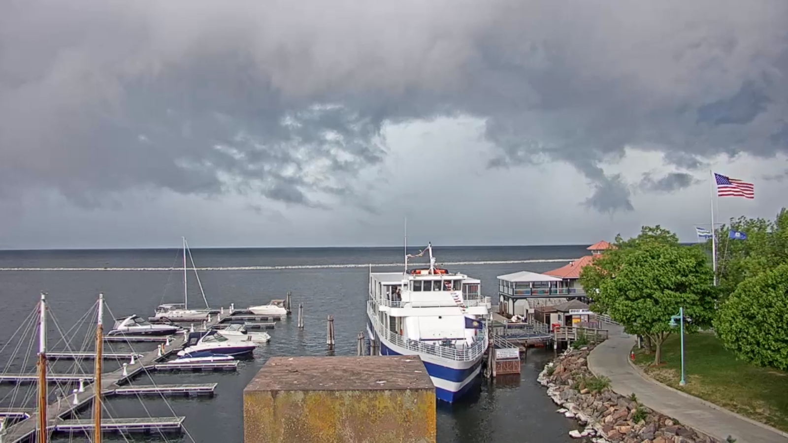
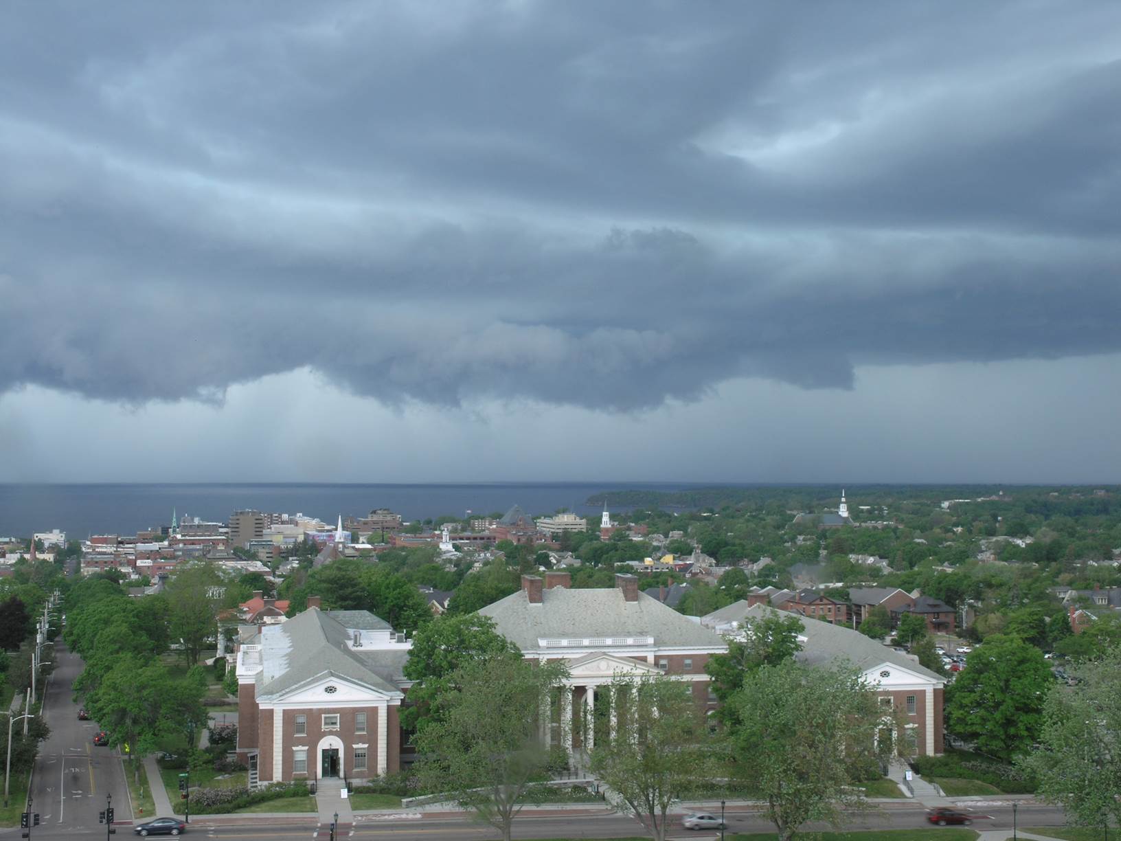
Severe Thunderstorm Watch in effect through 9 PM this Friday evening…
TONIGHT: Mainly cloudy. Showers and thunderstorms…some storms may have strong gusty winds and locally heavy downpours this evening. A low in the low 60s. South to southwest breeze 10 mph.
TOMORROW: Chance for showers, maybe a thunderstorm, partial clearing later in the afternoon. Cooler and becoming less humid. A high around 75. Southwest winds shifting to northwesterly 10 to 15 mph.
SATURDAY NIGHT: Lots of clouds.Good chance for showers developing especially northern Greens.A low 40 to 45. West to northwest breeze 10 to 15 mph.
SUNDAY: Back to spring. Scattered showers early, then increasing sunshine but blustery and cooler. A high around 55. Northwest winds 10 to 25 mph.
Looking further ahead…
SUNDAY NIGHT: Partly cloudy to mostly clear. A low in the mid-30s possible frost.
MONDAY: Partly sunny, but much cooler and well below normal in temperature. A high 50 to 55.
TUESDAY: Morning sunshine giving way to increasing high clouds. A low 32 to 35 with areas of frost likely. A high around 65.
WEDNESDAY: Mostly cloudy. Chance for showers, maybe a rumble of thunder. A low around 45. A high near 70.
Average lows 45 to 50, average highs upper 60s to mid-70s.
RH/5-29[end]
