

TODAY: Morning clouds then lots of sunshine, very warm and increasingly more humid. A high in the mid-80s. Light south to southwest winds.
TONIGHT: Mostly clear. Patchy low clouds and areas of valley fog. A low in the lower 60s. Light south to southwest winds.
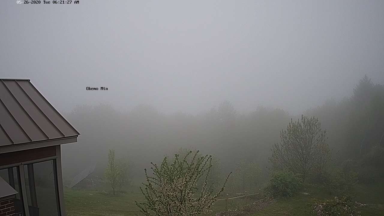
WEDNESDAY: Morning fog and low clouds then partly to mostly sunny. Hot and humid. Isolated afternoon or early evening shower or thundershower. A high pushing to near 90. Light southwest winds.
Looking further ahead…
WEDNESDAY NIGHT: Isolated early evening shower, then fair with high cloudiness. A low around 65.
THURSDAY: Partly to mostly sunny. Isolated showers and thunderstorms toward evening southern areas. A high in the mid-80s.
FRIDAY: Mixed clouds and sunshine. Scattered showers and thunderstorms…some possibly strong and locally heavy afternoon into the evening. A low around 65. A high 80 to 85.
SATURDAY: Chance for morning showers, maybe a thunderstorm, giving way to partial afternoon sunshine. Cooler and becoming less humid. A low around 60. A high in the mid-70s.
SUNDAY: Mostly cloudy with periods of sunshine across southern areas. Chilly. A low around 45. A high around 65.
Average lows 45 to 50, average highs upper 60s to mid-70s.
RH/5-26[end]
