
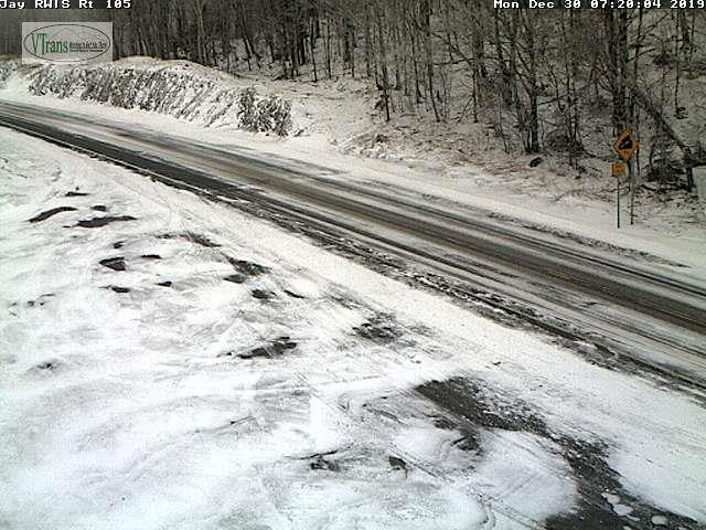
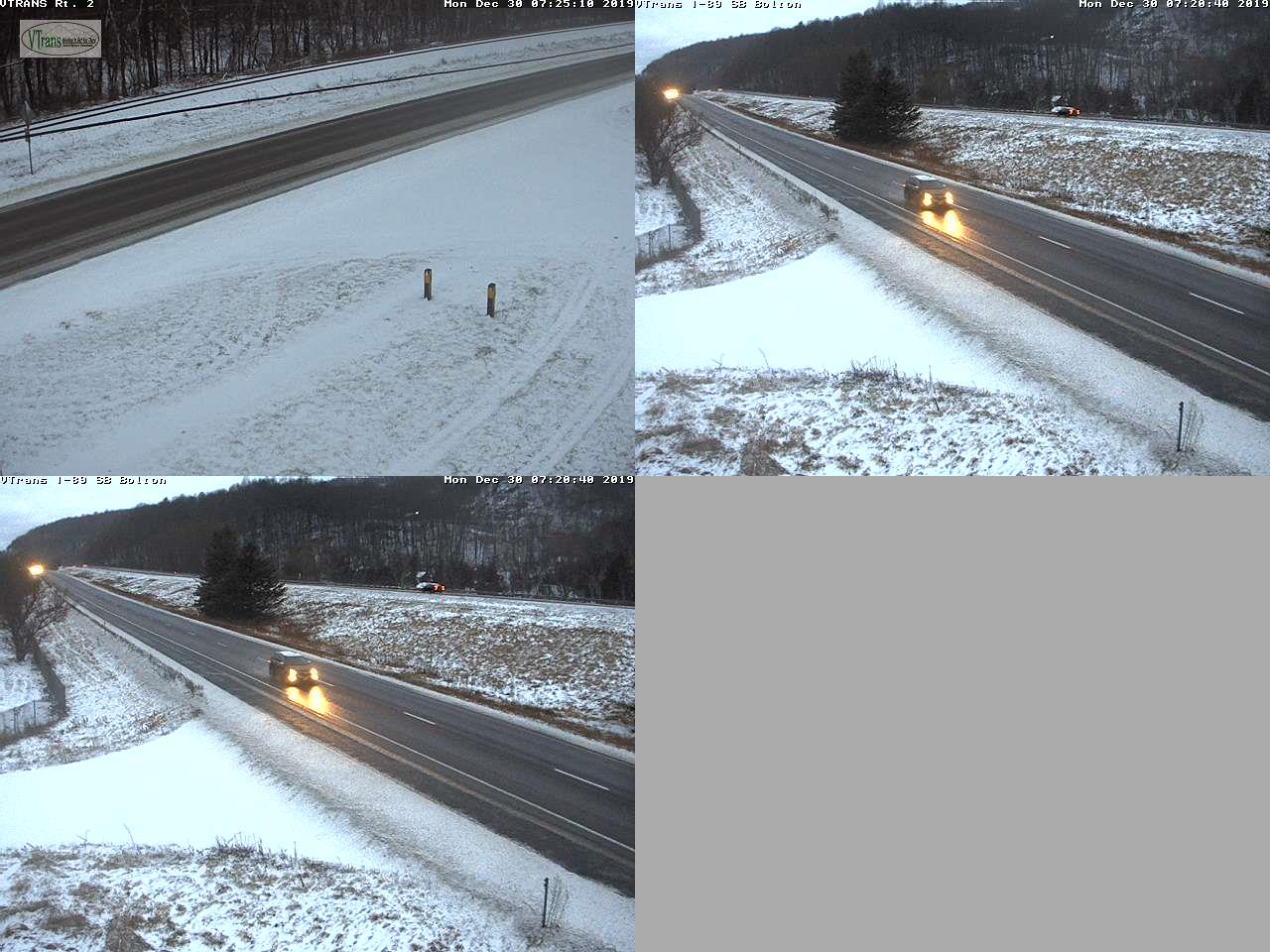
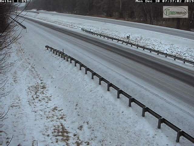
Winter Weather advisory northern Vermont…Winter Storm Warning Southern Vermont through 1 PM Tuesday
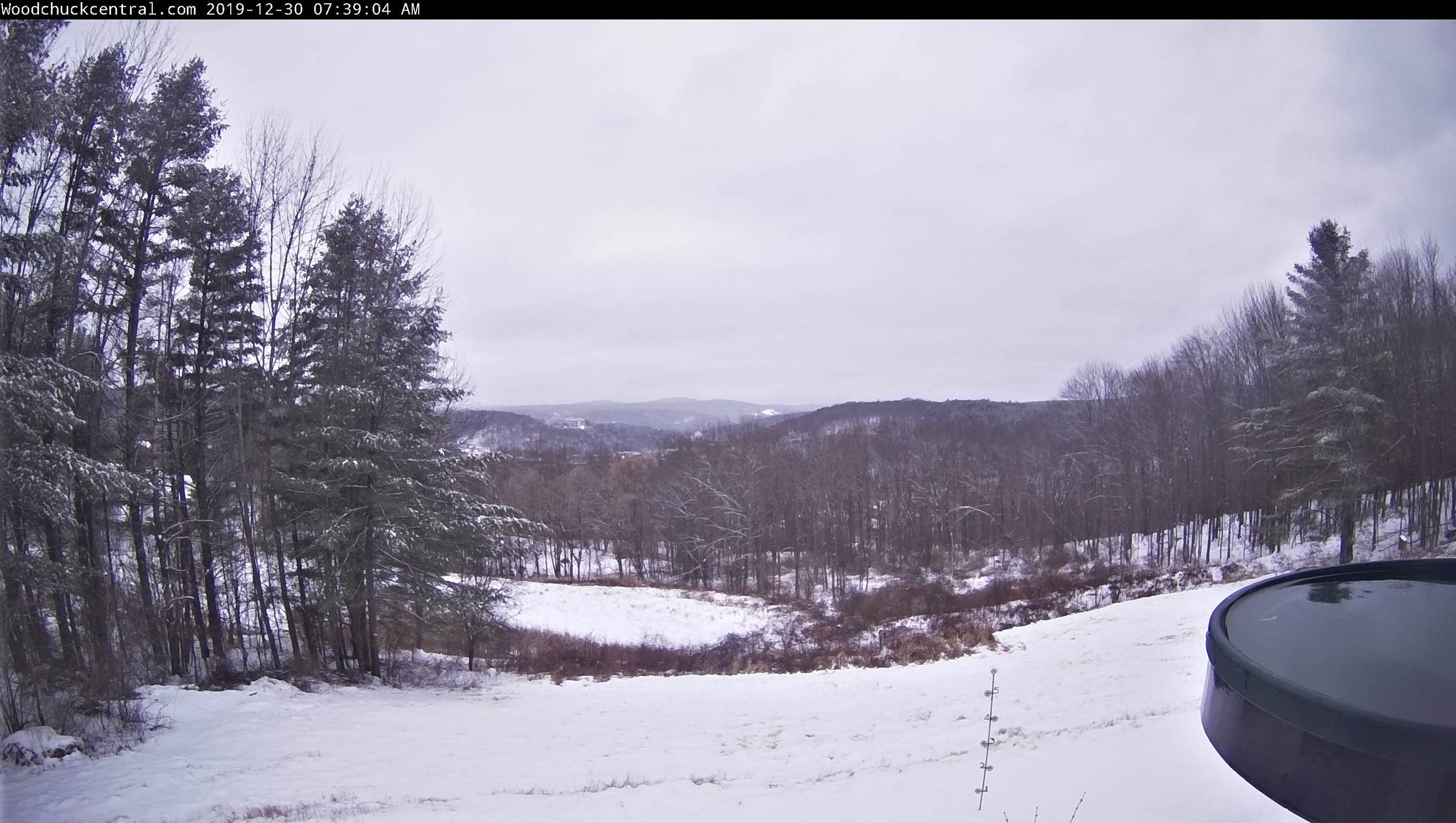
TODAY: Gray. Periods of wet snow mixing with and changing to sleet and occasional freezing rain. Snow and sleet accumulation around an inch to two inches far northern areas this morning…with freezing rain and significant glazing southern areas especially higher terrain…both likely affecting travel. Temperatures in the upper 20s northern areas and 30 to 35 southern areas. Winds east to southeast 10 to 20 mph but stronger across western slopes of the Greens.
TONIGHT: Overcast. A wintry mix of sleet and freezing rain moderate at times…changing to periods of accumulating snow. A few to several inches additional snowfall. A low 25 to 30. Southeast winds 10 to 15 mph.
TUESDAY: Gray with periods of light accumulating snow. An inch to 2” additional accumulation tapering to snow showers and flurries in the afternoon. A high in the mid-30s. Light winds.
Looking further ahead…
TUESDAY NIGHT NEW YEARS EVE: Mainly cloudy. Scattered flurries in the evening with an increasing chance for accumulating snow showers after midnight. A low around 25.
WEDNESDAY NEW YEARS DAY: Mixed clouds and sun. Scattered snow showers or flurries. A high near 32.
THURSDAY: Pick of the week. Morning snow showers or flurries dry up to increasing afternoon sunshine. A low around 20. A high around 32 degrees.
FRIDAY: Thickening clouds. A rising chance for rain or rain showers with slick travel in the morning. A low in the mid-20s. A high pushing near 40.
Average lows mid-single digits to mid-teens, average highs mid-20s to low 30s.
RH/12-30-19[end]
