
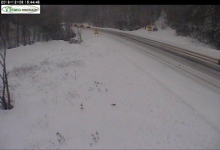
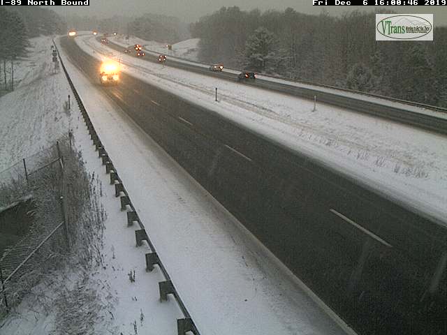
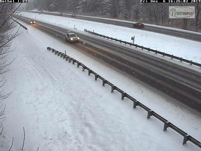
TONIGHT: Light accumulating snow exiting as isolated flurries later this evening. Less than an inch additional accumulation. A low 10 to 15. Light northwest winds
TOMORROW: Clouds with intervals of sun. A high 20 to 25. Northwest winds 10 mph.
SATURDAY NIGHT: Clear & frigid. A low zero to 10 above. Light southwest winds.
SUNDAY: Morning sunshine giving way to lots of afternoon clouds. Blustery. A high upper 20s. Light south winds.
Looking further ahead…
SUNDAY NIGHT: Mainly cloudy. A low in the mid to upper 20s.
MONDAY: Gray. Good chance for rain developing toward mid day. Watch for possible slick travel sub-freezing ground surfaces early. A high upper 30s to around 40.
TUESDAY: Chance for lingering rain showers. Maybe a few breaks of sun. Temperatures in the low 40s.
WEDNESDAY: Variable clouds. Scattered snow showers or flurries exiting in the afternoon. Sharply colder. An early high in the low 40s, then temperatures falling through the 20s.
Average lows 20 to 25, average highs in the 30s
RH/12-6-19[end]
