
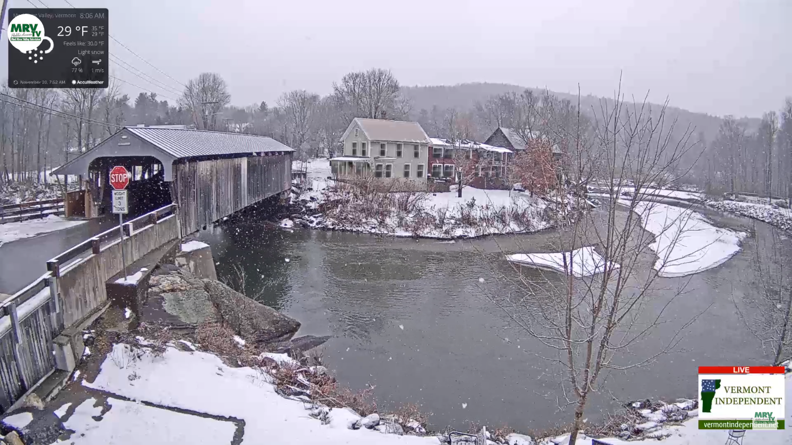
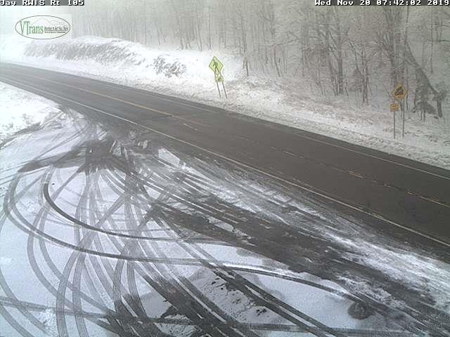
TODAY: Cloudy. Occasional snow showers and flurries developing with snow coated roads. Accumulation a dusting up to inch mainly higher terrain. A high 32 to 35. Northwest winds 10 mph.
TONIGHT: Scattered evening flurries…drying up by midnight light accumulations, otherwise clearing skies. A low near 20. Light northwest winds.
THURSDAY: Pick of the week. Sunshine, giving way to more clouds late. A high mid to upper 30s. Light northwest winds.
Looking further ahead…
THURSDAY NIGHT: Thickening clouds. A rising chance for spotty freezing rain areas of freezing drizzle after midnight. Watch for slick spots. An evening low near 25 with temperatures rising toward freezing toward daybreak.
FRIDAY: Mainly cloudy, milder and breezy. Good chance for rain showers mid day on…mixing with wet snow flakes later on. A high around 45. Gusty west to northwest winds.
SATURDAY: Mostly sunny with high clouds late. A low around 20. A high 30 to 35.
SUNDAY: Overcast. Chance for rain mixing with accumulating wet snow. A low mid to upper teens. A high near 32.
Average lows mid to upper 20s. Average highs 40 to 45.
RH/11-20-19[end]
