
Winter Weather Advisory through 1 PM this afternoon
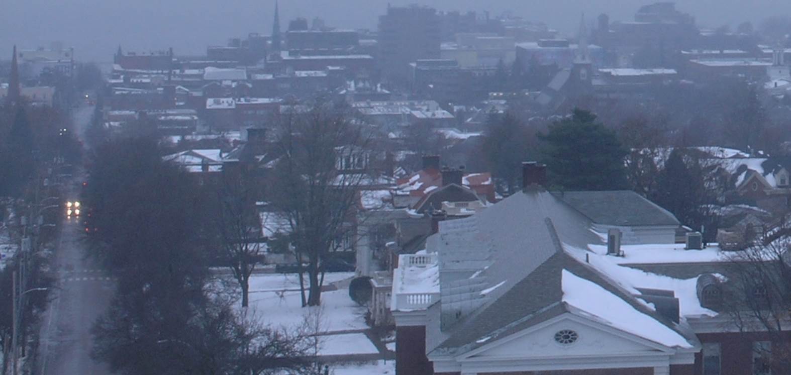
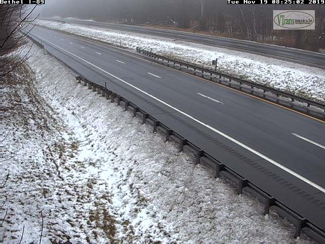
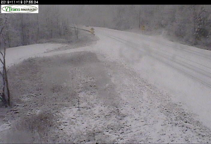
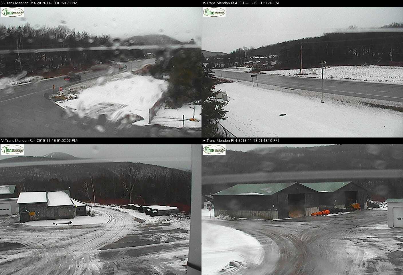
TODAY: Mainly cloudy. A wintry mix changing to wet slushy snow mid to late morning tapering to scattered flurries this afternoon before exiting. Slick travel developing. A high around 35. Light northwest winds.
TONIGHT Lots of clouds. Slight chance for flurries toward daybreak. A low in the upper 20s. Light northwest winds.
Below S. VT Rt. 9 between Bennington and Brattleboro—this spreading northward.
WEDNESDAY: Clouds with a break or two of afternoon sun. Scattered mountain flurries. A high 32 to 35. Light northwest winds.
Looking further ahead…
WEDNESDAY NIGHT: Chance for a few flurries drying up in the evening with clearing skies. A low mid teens to low 20s.
THURSDAY: Pick of the week. Mostly sunny giving way to few more afternoon clouds. A high around 35.
FRIDAY: Mainly cloudy. Chance for rain or wet snow showers with minor accumulation. A low 25 to 30. Temperatures near normal finally with a high pushing near 45.
SATURDAY: Partial morning sun then thickening clouds. A low mid-20s. A high in the low to mid 30s.
Average lows mid to upper 20s. Average highs 40 to 45.
RH/11-18-19[end]
