
Winter Weather Advisory late today into Tuesday afternoon.
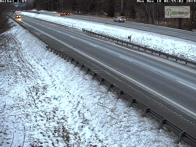
TODAY: Considerable cloudiness, maybe few hints of sunshine. A rising chance rain showers mixed with pockets of freezing rain southern/eastern Vermont after 4 PM this afternoon…with slick travel developing. A high in the mid 30s. Light northeast winds.
TONIGHT: Overcast. Intermittent freezing rain mixing with sleet and wet snow. Glazing up to couple tenths of an inch with sleet and snow accumulation an inch or two. A low in the upper 20s. Light north winds.
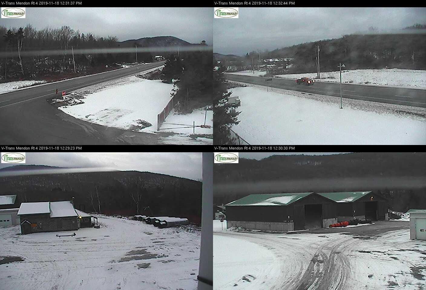
TUESDAY: Mainly cloudy. A wintry mix transitioning to periods of wet snow mid to late morning tapering to scattered flurries in the afternoon. Slick travel likely in the morning. A high 32 to 35. Light northwest winds.
Looking further ahead…
TUESDAY NIGHT Lots of clouds. Chance for flurries late toward the Champlain Valley. A low in the mid 20s.
WEDNESDAY: Clouds with a break or two of afternoon sun. Scattered mountain flurries. A high 32 to 35.
THURSDAY: Pick of the week. Partly to mostly sunny. A low in low to mid 20s. A high around 35.
FRIDAY: Chance for rain or wet snow showers with minor accumulation. A low 25 to 30. Temperatures near normal finally with a high 40 to 45.
Average lows mid to upper 20s. Average highs 40 to 45.
RH/11-18-19[end]
