
Winter Storm Warning into Tuesday afternoon northern/western Vermont, Winter Weather Advisory elsewhere
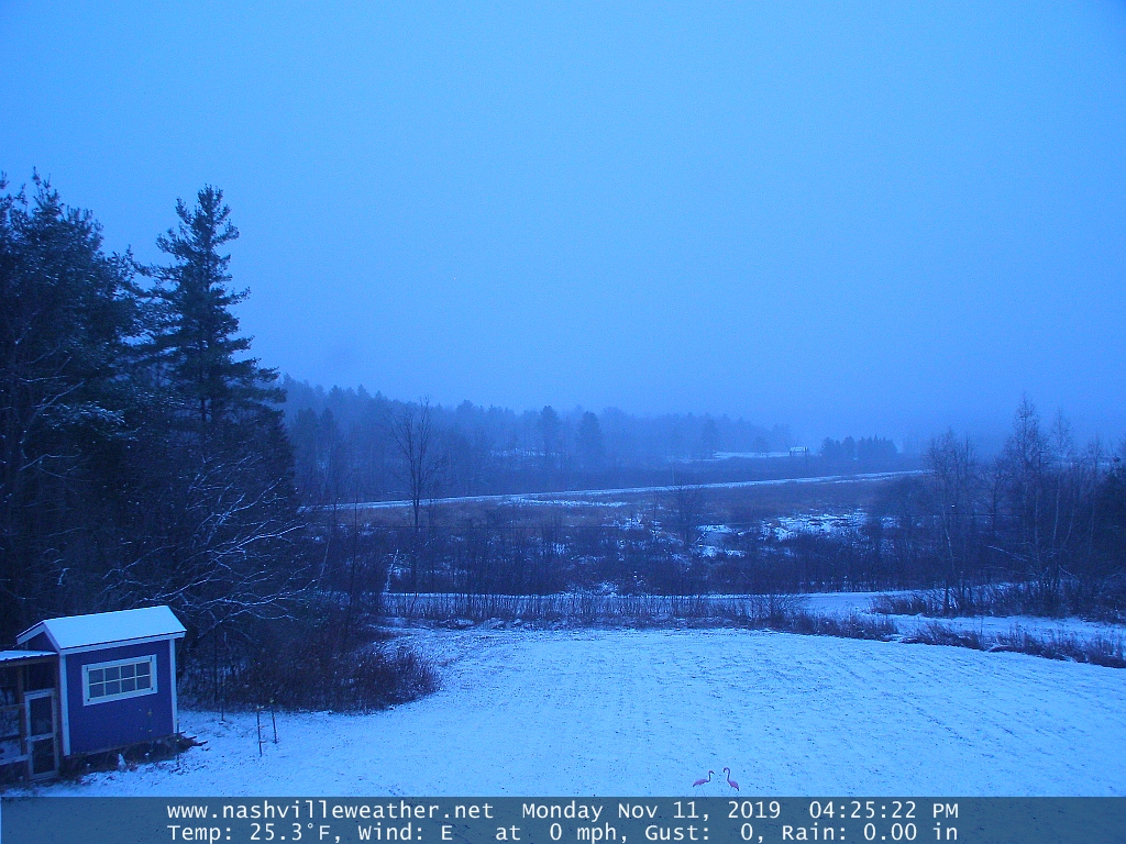
TONIGHT: Cloudy. Light to moderate snow this evening…changing to sleet- pockets of freezing rain overnight. Mixed precipitation switching back to moderate snow before day break. Several inches accumulation toward the Champlain Valley, couple to a few inches elsewhere with minor glazing. A low upper teens to lower 20s. Light north to northeast winds.
Full Beaver Moon 8:34 AM
TOMORROW: Periods of snow…tapering off late morning into the afternoon. Otherwise overcast with breaks of sun developing late. A high mid to upper 20s. Blustery in the afternoon. Northwest winds picking up 10 to 25 mph.
TUESDAY NIGHT: Partly cloudy NE. Kingdom with a few flurries, otherwise becoming mostly clear and very cold. Near record cold with a low 5 to 10 above. West to northwest winds 10 to 15 mph lowering wind chills.
WEDNESDAY: A few mountain flurries possible early. Otherwise, partly cloudy. Cold and blustery with lowered wind chills. A high near 20. Northwest winds 10 to 20 mph.
Looking further ahead…
WEDNESDAY NIGHT: Fair in the evening then clouding up overnight. A low dipping to near zero degrees.
THURSDAY: Variable high cloudiness with near record cold. A high in the upper 20s.
FRIDAY: Brief morning sun then clouding up. Chance for snow showers or flurries. Minor accumulations. A low in the low to mid 20s. A high 30 to 35.
Average lows mid 20s to around 30. Average highs ranging through the 40s.
RH/11-11-19[end]

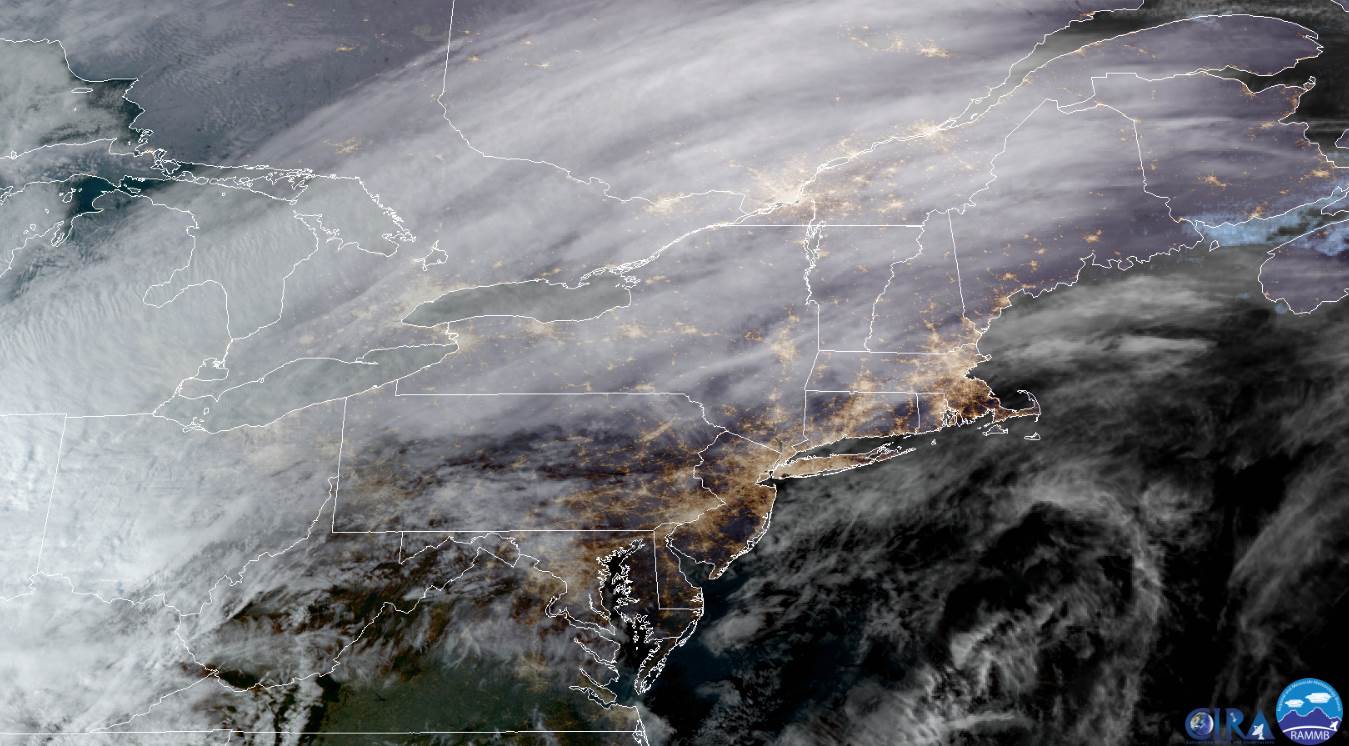
Dry slot fast approaching. Kocin used to call it “The dreaded dry tongue.” Perfect description for disappointed snow lovers.
LikeLike