
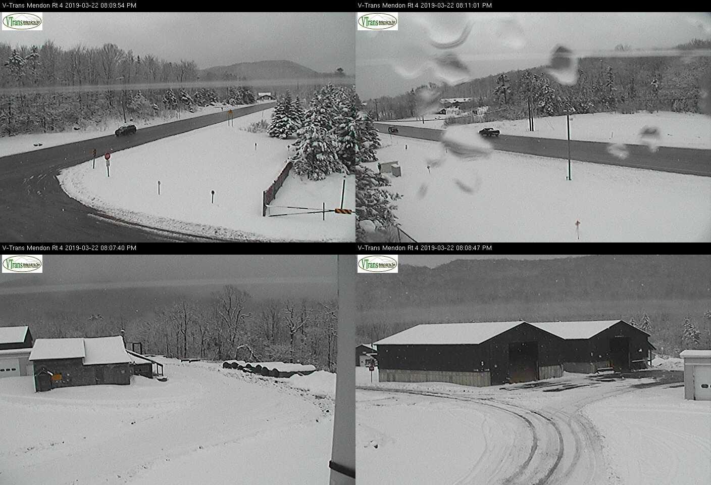
Winter Storm Warning along and east of the Green Mountains except Windsor County. Winter Weather Advisories elsewhere expire Noon on Saturday…
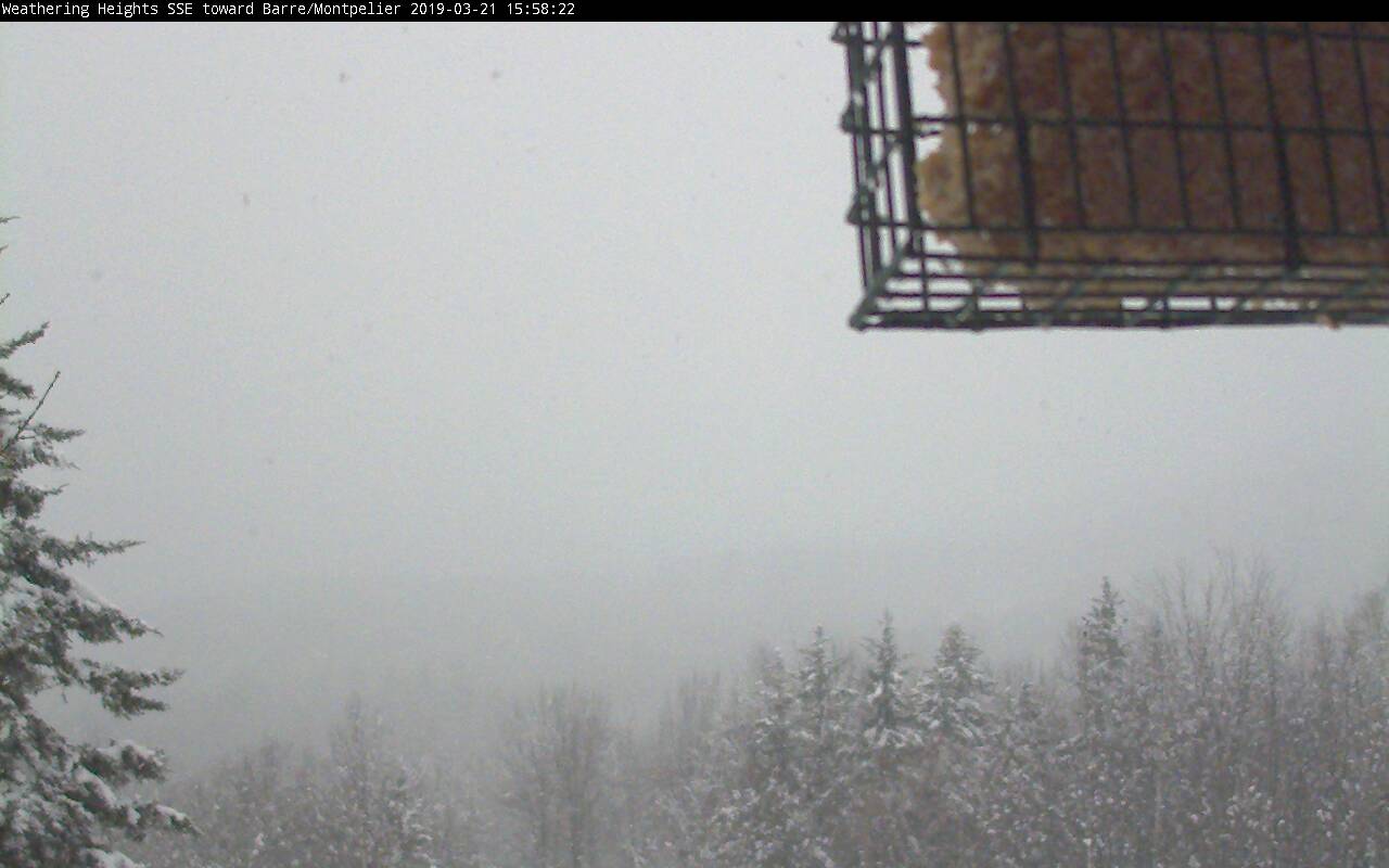
TONIGHT: Snow…with additional accumulations of about 3 to 6” with the most near the Green Mountains and northern tier areas. Becoming blustery with occasional blowing and drifting overnight producing white-outs. A low 25 to 30. Northwest winds picking up to 10 to 25 mph with higher gusts overnight.
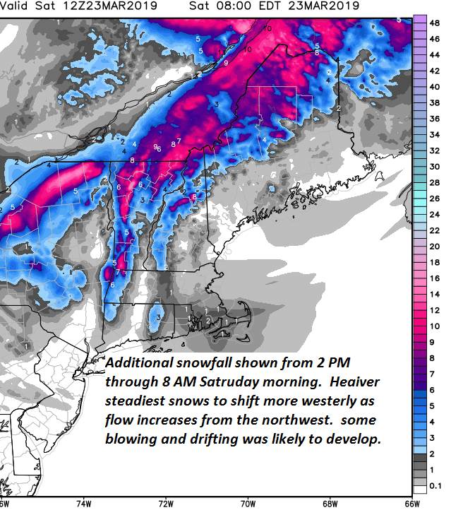
TOMORROW: Light snow and snow showers ending as few flurries in the morning. Blustery with occasional blowing and drifting.
Increasing sunshine in the afternoon. A high around 32. Gusty northwest winds 10 to 25 mph.
SATURDAY NIGHT: Clear & partially moonlit. A low in the low to mid teens.
SUNDAY: A beauty. Sunshine giving way to some high cloudiness in the afternoon. A reaching 40 to 45 – Maybe a sap run.
Looking further ahead…
SUNDAY NIGHT: Becoming mostly cloudy. A chance for light snow showers or flurries. Minor accumulation. A low 20 to 25.
MONDAY: Cloudy. A few morning flurries exiting. Mostly sunny in the afternoon. A high near 30.
TUESDAY: Sunny but cold for this time of year. A low zero to 10 above. A high in the mid to upper 20s.
WEDNESDAY: Mostly sunny few high clouds. A low in the single digits. Milder in the afternoon with a high near 40. Sap run possible.
Average lows in the 20s. Average highs in the 40s.
RH/3-22-19[end]
