
TONIGHT: Mostly clear and moonlit. A low ranging from 5 above Northeast Kingdom to 20 degrees western and southern areas. Light south winds.
Vernal Equinox 12:15 PM
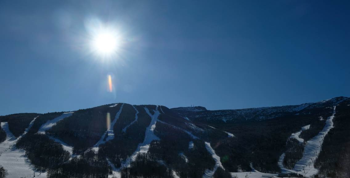
TOMORROW: Sunshine mixing with high cloudiness. A high around 45. Sap run. Southwest winds 10 mph.
Full “Sap” Moon 9:43 PM EDT
WEDNESDAY NIGHT: Mostly clear and fully moonlit in the evening. Partly to mostly cloudy overnight. A low mid 20s to around 30. Southeast winds 10 mph.
THURSDAY: Breaks of early sun, then gray skies but milder. Rain showers become likely later in the afternoon. A high around 45. Sap run likely. South winds 10 mph.
Looking further ahead…
THURSDAY NIGHT: Cloudy. Rain showers likely…mixing with wet snow around midnight. Slushy accumulation of 1 to locally 3” overnight with slippery travel developing. A low near 32.
FRIDAY: Gray. Good chance for periods of wet snow. A few additional inches likely especially elevated terrain. A high 32 to 35.
SATURDAY: Chance for accumulating snow showers central and northern areas then breaks of sun away from the mountains. Blustery & colder. A low in the 20s. A high around 32. Gusty northwest winds.
SUNDAY: Considerable sunshine and a beauty. A low 15 to 20. A reaching into the mid 40s – Likely a sap run.
Average lows in the upper-teens to mid 20s. Average highs in the 40s.
RH/3-19-19[end]
