
-
- image005 4
-
- image006
TONIGHT: Clear and moonlit. A low zero to 15 above. Little wind.
TOMORROW: Mostly sunny with a few more clouds in the afternoon. A high upper 20s to mid 30s. Northwest winds 10 mph.
TUESDAY NIGHT: Mostly clear and moonlit. A low mid-single digits to low teens. Light south winds.
Vernal Equinox 12:15 PM
WEDNESDAY: Sunshine mixing with high cloudiness. A high 40 to 45. Possible sap run. Southwest winds 10 mph.
Looking further ahead…
Full “Sap” Moon 9:43 PM EDT
WEDNESDAY NIGHT: Fair and moonlit in the evening then thickening clouds overnight. A low mid 20s to low 30s.
THURSDAY: Overcast. A rising chance for rain showers mixed with wet snow flakes in the higher terrain. A high mid 30s to low 40s. Possible sap run.
FRIDAY: Considerable cloudiness. Chance for rain mixing with a changing to wet snow especially the high terrain. Light accumulation possible. A low 30 to 32. A high around 35.
SATURDAY: Chance for snow showers lingering into the morning with light coating of snow… then increasing amounts of afternoon sun and blustery. A low in the teens. Colder with a high in the 20s.
Average lows in the upper-teens to mid 20s. Average highs in the 40s.
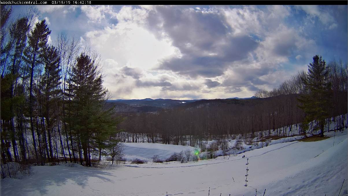
RH/3-18-19[end]
