
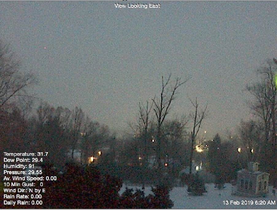
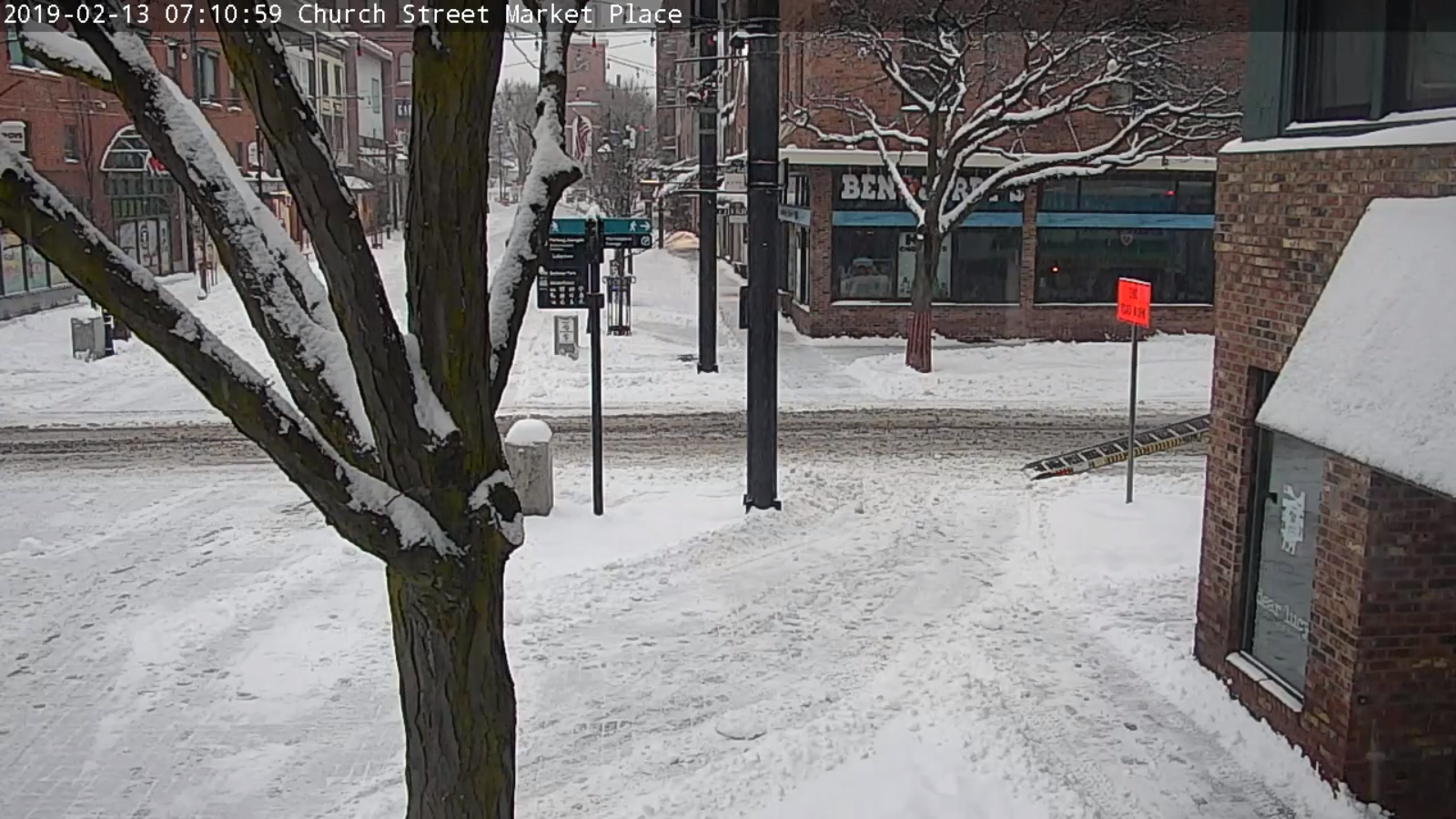
Winter Storm Warning through 4 PM Wednesday
TODAY: Periods of mostly light accumulating snow…tapering to scattered snow showers mid day on additional accumulation 1 to locally 3” with the most near Northern Green Mountains. A few breaks of sunshine in the afternoon. A high 30 to 35. Westerly winds 10 to 15 mph later in the afternoon.
TONIGHT: Partly to mostly cloudy. Occasional mountain snow showers and valley flurries. Dusting to an inch. A low 15 to 20. Southwest winds 10 mph.
THURSDAY: A stray mountain flurry exiting. Otherwise becoming partly to mostly sunny. A high 25 to 30. West winds 10 to 15 mph.
Looking further ahead…
THURSDAY NIGHT: Partly cloudy. Scattered mountain snow showers & flurries. Minor accumulation. A low mid teens to low 20s.
FRIDAY: Morning snow showers mixing with rain valley floors. Accumulations 1 to 2” of wet slushy snow possible higher terrain in the morning. Otherwise mostly cloudy. A high mid 30s to low 40s.
SATURDAY: Partly to mostly sunny. A low upper teens to low 20s. A high 25 to 30.
SUNDAY: Sunshine filtered through high clouds in the morning, then clouding up leading to a chance for flurries toward evening. A low in the single digits. A high in the 20s.
Average lows 5 to 15. Average highs in the upper 20s to mid 30s.
RH/2-13-19[end]
