
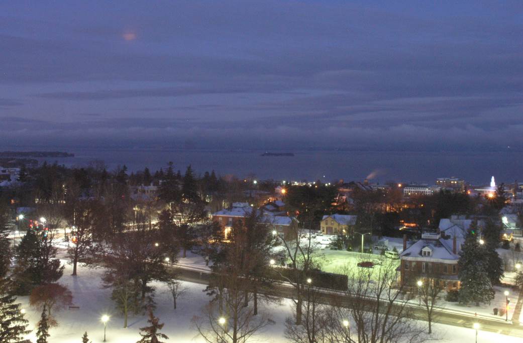
TODAY: Sunshine mixing with clouds. A stray flurry or two, becoming a more frequent later today. A high 25 to 30. West to northwest winds 10 to 15 mph.
TONIGHT: Chance for mountain flurries, otherwise partly cloudy. A low 5 to 15 above. Northwest winds 10 to 15 mph.
THURSDAY: Partly to mostly sunny, followed by more clouds later in the afternoon. A high 20 to 25. Little wind.
Looking further Ahead…
THURSDAY NIGHT: Thickening clouds, leading to periods of light snow well after midnight. A low 20 to 25.
FRIDAY: Overcast. Messy mixed precipitation with periods of light snow transitioning to light rain or rain showers. Slick travel likely in the morning. A high reaching near 40.
SATURDAY: Scattered sprinkles or light rain showers in the morning transitions to west snow showers in the afternoon and turning sharply colder. A low 32 to 35. An early high 35 to 40 with temperatures falling into the 20s in the afternoon.
SUNDAY: Sunny, but much colder. A low around zero. A high in the teens.
MONDAY NEW YEARS EVE: Partly sunny then clouding up. A low in the single digits. A high around 32.
TUESDAY NEW YEARS DAY: Overcast. A wintry mix with slick travel in the morning, rain showers in the afternoon. A low in the 20s. A high 40 to 45.
Average lows mid single digits to low teens. Average highs mid 20s to low 30s.
RH/12-26[end]
