
Winter Solstice 5:23 PM this evening Flood Watch in effect into Saturday afternoon…
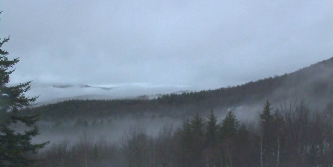
TONIGHT: Cloudy. Periods of rain…tapering to scattered light showers. Watch for high water on area streams and rivers. Areas of dense fog.A low in the low to mid 30s. South winds 10 mph.
Full Cold Moon 12:49 PM Saturday
TOMORROW: Lots of clouds. Rain showers…transition to wet snow showers with less than an inch of accumulation across higher terrain. Turning blustery and colder. An early high 40 to 45, then temperatures falling through the 30s in the afternoon. Wind becoming westerly 10 to 20 mph and gusty.
SATURDAY NIGHT: Partly to mostly cloudy. A low in the upper teens. Northwest winds 10 to 15 mph.
SUNDAY: Morning clouds then mostly sunny, colder. A high in the mid 20s. Northwest winds 10 to 15 mph.
Looking further Ahead…
SUNDAY NIGHT: Partly cloudy. A low in the upper teens
MONDAY CHRISTMAS EVE: Mostly cloudy. Scattered mountain snow showers and valley flurries developing mainly southern areas. A high upper 20s to low 30s.
TUESDAY CHRISTMAS DAY: Mixed clouds and sun. Near seasonable temperatures A low around 10 above. A high in the low 20s.
WEDNESDAY: More sun and then clouds. A low in the single digits. A high near 20.
THURSDAY: Partly to mostly sunny. A low in the single digits and a high in the teens
Average lows 10 to 15. Average highs mid 20s to low 30s.
RH/12-21[end]
