
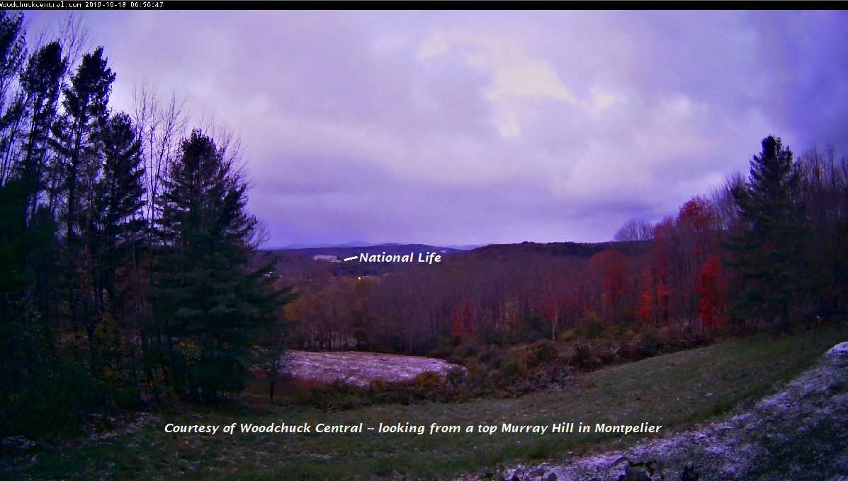
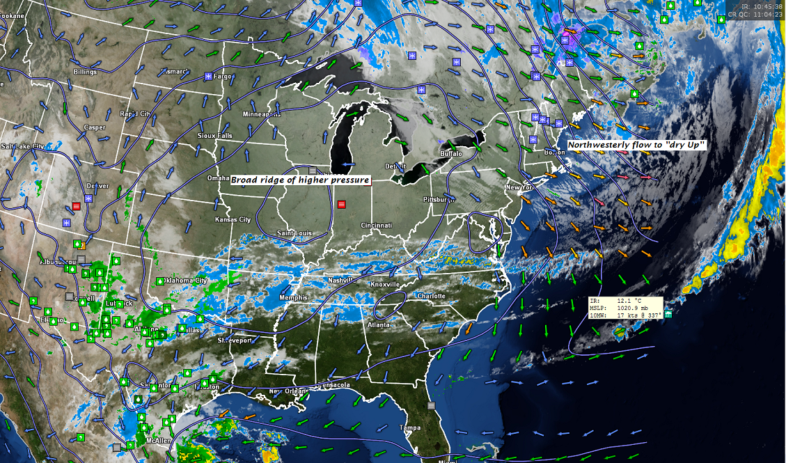
TODAY: A few flurries especially near the central and northern Green Mountains early, then partly sunny, blustery and well below normal in temperature. A high in the mid to upper 30s. Northwest winds 10 to 25 mph lowering wind chills.
TONIGHT: Scattered clouds and cold. A low in the mid to upper 20s. Light southwest winds.
FRIDAY: Mostly sunny, breezy but milder. A high near 55. Southwest breeze 10 to 20 mph.
Looking further ahead…
FRIDAY NIGHT: Variable clouds, Maybe a few isolated mountain sprinkles. A low 40 to 45.
SATURDAY: Considerable cloudiness. Chance for a few sprinkles passing light rain showers mixing with wet snow flakes Saturday night. A high 50 to 55.
SUNDAY: Scattered mountain snow showers & valley flurries exiting toward mid day. A dusting valley floors up to an inch higher terrain. A low 32 to 35. A high 35 to 40.
MONDAY: Partly cloudy. A low in the 20s with a high 35 to 40.
TUESDAY: Mostly cloudy with scattered rain showers mixed with wet snow flakes early. Partly sunny central and southern areas. A low near 35. A high 45 to 50.
Average lows ranging through the 30s. Normal highs in the 50s
RH/10-18-18[end]
| Virus-free. www.avast.com |
