
TONIGHT: Clear & partially moonlit. A low in the lower teens to low 20s. Light southeast winds.
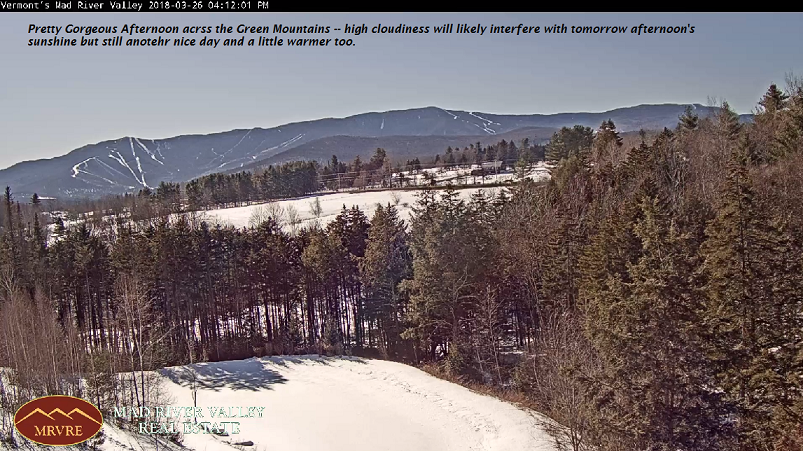
TOMORROW: Sunshine becoming filtered by high clouds. A high mid 40s to near 50. Light winds. (Sap Run)
TUESDAY NIGHT: Thickening clouds. A rising chance for a light wintery mix producing slick travel toward daybreak east of the Green Mountains. A low in the lower 30s. South winds 10 mph.
WEDNESDAY: Chance for rain shower early, then considerable cloudiness. A high mid to upper 40s. Little wind. (Sap run)
Looking further Ahead…
WEDNESDAY NIGHT: Mostly cloudy. A low around 35.
THURSDAY: Gray. Isolated sprinkles developing…with occasional light rain in the afternoon. Areas of fog. A high ranging in the low 40s to around 50 warmest toward southern areas.
FRIDAY: Rain showers mixed with wet snow flakes across the higher terrain early, Otherwise becoming partly sunny. A low in the mid to upper 30s. A high in the upper 40s to mid 50s.
SATURDAY: Clouds mixed with sun. A low around 20. A high around 45.
EASTER SUNDAY: Sunshine giving way to clouds. Chance for rain developing late. A low in the low 20s. A high in the low 50s.
Average lows in the 20s. Normal highs in the mid to upper 40s
RH/3-26[end]
| Virus-free. www.avast.com |
