
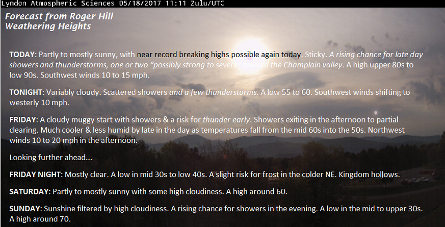
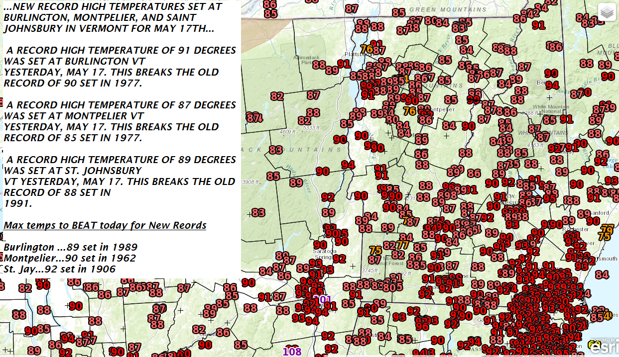
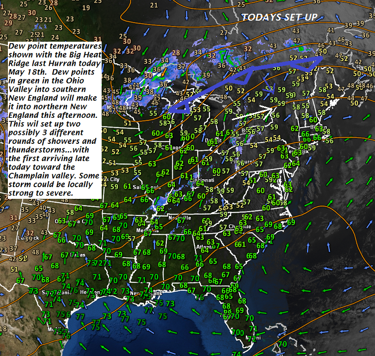
TODAY: Partly to mostly sunny, with near record breaking highs possible again today. Sticky. A rising chance for late day showers and thunderstorms, one or two “possibly strong to severe” toward the Champlain valley. A high upper 80s to low 90s. Southwest winds 10 to 15 mph.
TONIGHT: Variably cloudy. Scattered showers and a few thunderstorms. A low 55 to 60. Southwest winds shifting to westerly 10 mph.
FRIDAY: A cloudy muggy start with showers & a risk for thunder early. Showers exiting in the afternoon to partial clearing. Much cooler & less humid by late in the day as temperatures fall from the mid 60s into the 50s. Northwest winds 10 to 20 mph in the afternoon.
Looking further ahead…
FRIDAY NIGHT: Mostly clear. A low in mid 30s to low 40s. A slight risk for frost in the colder NE. Kingdom hollows.
SATURDAY: Partly to mostly sunny with some high cloudiness. A high around 60.
SUNDAY: Sunshine filtered by high cloudiness. A rising chance for showers in the evening. A low in the mid to upper 30s. A high around 70.
MONDAY: Cloudy. Good chance for showers. A low in the 40s. A high in the low to mid 60s.
TUESDAY: Clouds mixing with periods of afternoon sun. A low in the low to mid 40s. A high in the upper 60s.
Average low 40 to 45. Normal high in the mid to upper 60s.
RH/5-18[end]
