
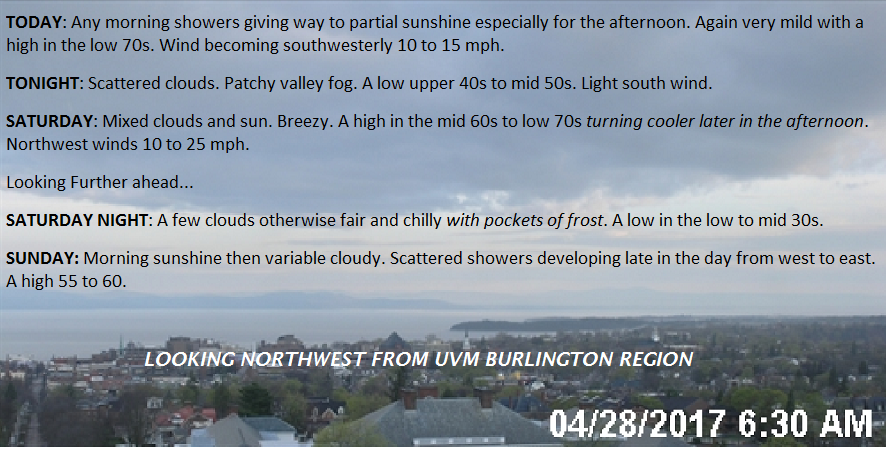
TODAY: Any morning showers giving way to partial sunshine especially for the afternoon. Again very mild with a high in the low 70s. Wind becoming southwesterly 10 to 15 mph.
TONIGHT: Scattered clouds. Patchy valley fog. A low upper 40s to mid 50s. Light south wind.
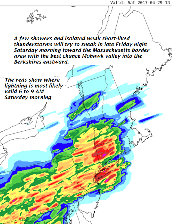
SATURDAY: Mixed clouds and sun. Breezy. A high in the mid 60s to low 70s turning cooler later in the afternoon. Northwest winds 10 to 25 mph.
Looking Further ahead…
SATURDAY NIGHT: A few clouds otherwise fair and chilly with pockets of frost. A low in the low to mid 30s.
SUNDAY: Morning sunshine then variable cloudy. Scattered showers developing late in the day from west to east. A high 55 to 60.
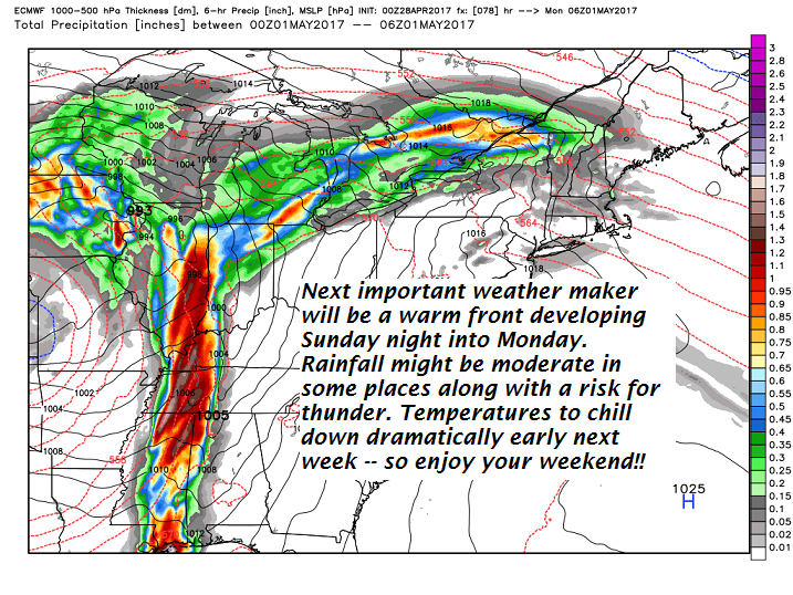
MONDAY: Mostly cloudy. Chance for showers and possibly a thunderstorm early. Chance for showers lingering far northern areas otherwise partial clearing. Breezy to windy at times. A low around 40. A high in the low to mid 50s.
TUESDAY: Clouds mixing with periods of sun. Scattered showers. A low in the mid 40s. A high 65 to 70.
WEDNESDAY: A low in the low to mid 40s. A high in the low to mid 50s.
Average lows 35 to 40. Normal highs around 60.
RH/4-28[end]
