
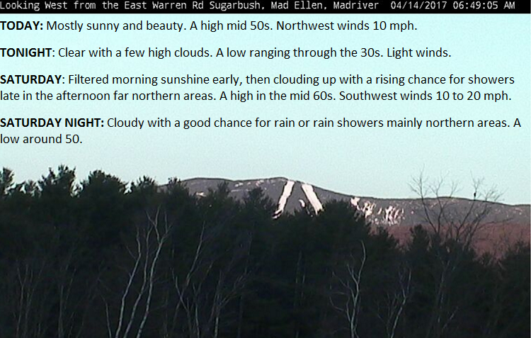
TODAY: Mostly sunny and beauty. A high mid 50s. Northwest winds 10 mph.
TONIGHT: Clear with a few high clouds. A low ranging through the 30s. Light winds.
SATURDAY: Filtered morning sunshine early, then clouding up with a rising chance for showers late in the afternoon far northern areas. A high in the mid 60s. Southwest winds 10 to 20 mph.
Looking Further ahead…
SATURDAY NIGHT: Cloudy with a good chance for rain or rain showers mainly northern areas. A low around 50.
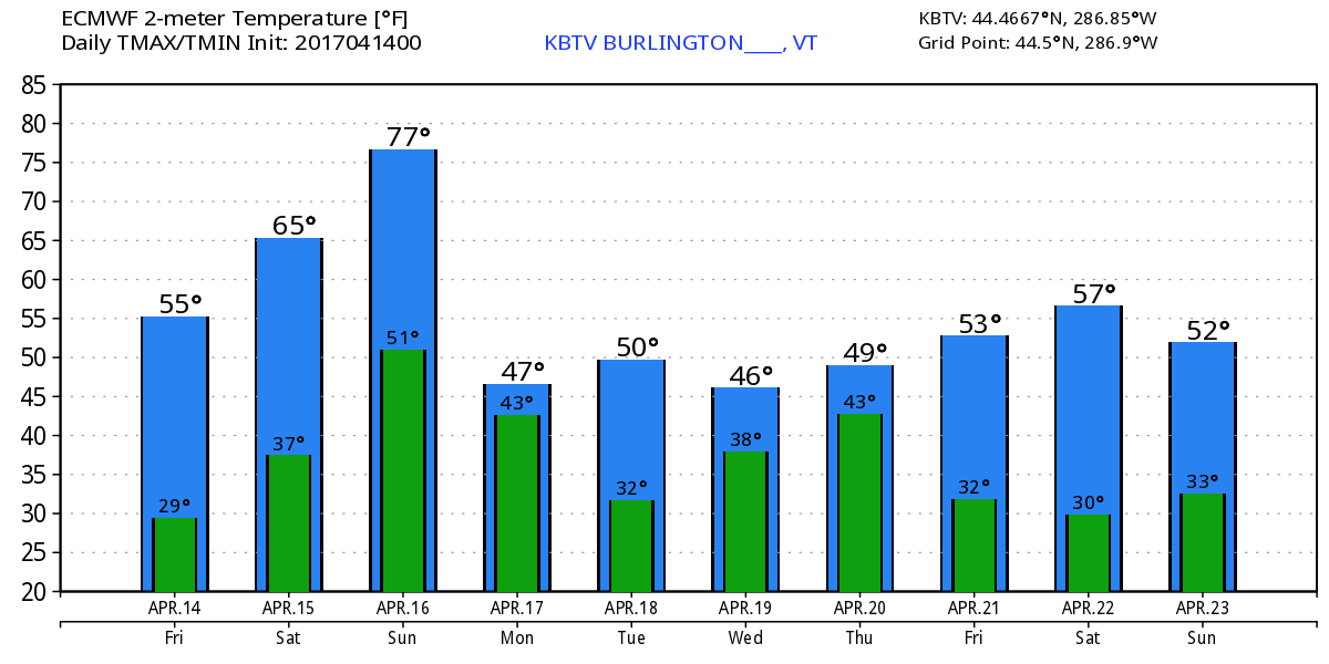
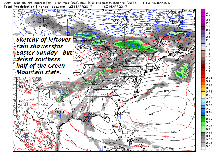
EASTER SUNDAY: Morning showers giving way to breaks of sunshine. Widely scattered showers in the afternoon. Maybe an isolated rumble of thunder. A high in the low to mid 70s.
MONDAY: Scattered rain showers mixed with wet snow flakes northern mountains in the morning, otherwise partial clearing but much cooler. Temperatures holding in the mid to upper 40s.
TUESDAY: Mostly sunny. A low in the mid 20s. A high around 50.
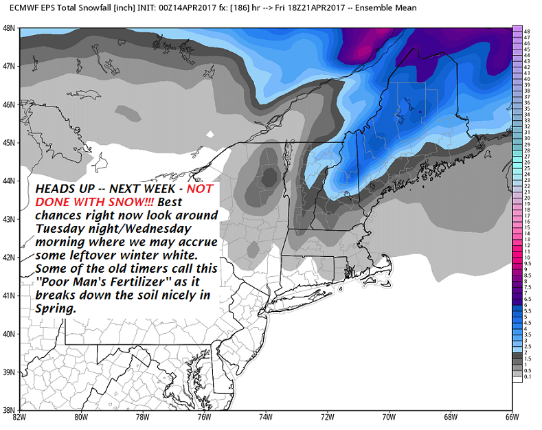
WEDNESDAY: Clouding up. Rain showers mixed with wet snow mainly high terrain. Accumulation up to a couple inches wet snow in the higher terrain. A low near 32. A high in the low 40s.
THURSDAY: Scattered rain showers exiting early to increasing sunshine. A low in the 30s. A high in the 40s.
Average lows around 32. Normal highs in the mid 50s
RH/4-14[end]
