
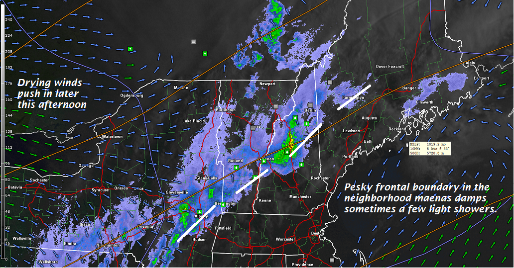
TODAY: Clouds and areas of morning fog with occasional rain showers this morning Barre-Montpelier area and points south. Partial sunshine this afternoon with a high in the upper 50s. West winds picking up to 10 to 15 mph.
TONIGHT: Clear skies in the evening then clouding up overnight. A few rain showers mixing with wet snow flakes higher northern mountains. A low in the mid 30s. Light west winds.
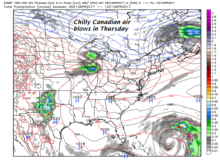
THURSDAY: Maybe a morning sprinkle. Otherwise lots of clouds giving way to intervals of late afternoon sunshine. A high pushing toward 50. Northwest winds 10 to 20 mph.
Looking Further ahead…
THURSDAY NIGHT: Mostly clear and partially moonlit. A low in the upper 20s to near 30.
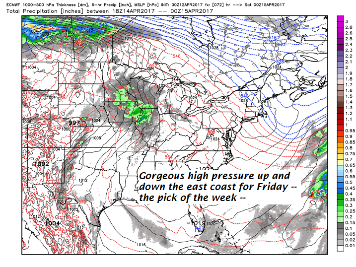
FRIDAY: Pick of the week. Blue skies and bright sunshine. A high near 55.
SATURDAY: Filtered sunshine through high cloudiness thickening up late leading to a chance for showers Saturday evening. A low near 32. A high in the low to mid 60s
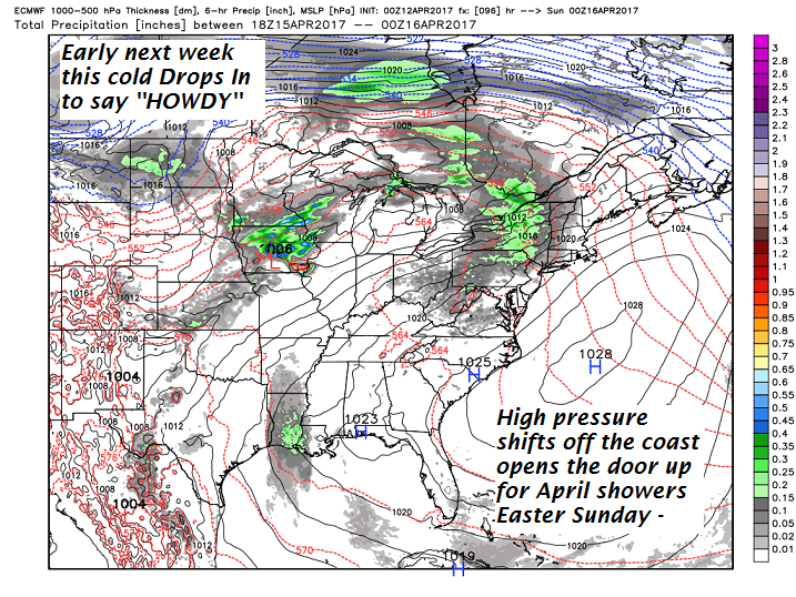
SUNDAY: Cloudy and gray. Chance for “April showers”. A low 45 to 50. A high in the mid 60s.
MONDAY: Much cooler. Scattered rain showers mixed with wet snow flakes in the hills in the morning. Temperatures holding in the low to mid 40s.
TUESDAY: Partly to mostly cloudy and A low in the 20s. A high in the mid 40s .
Average lows around 32. Normal highs in the low to mid 50s
RH/4-12[end]
