
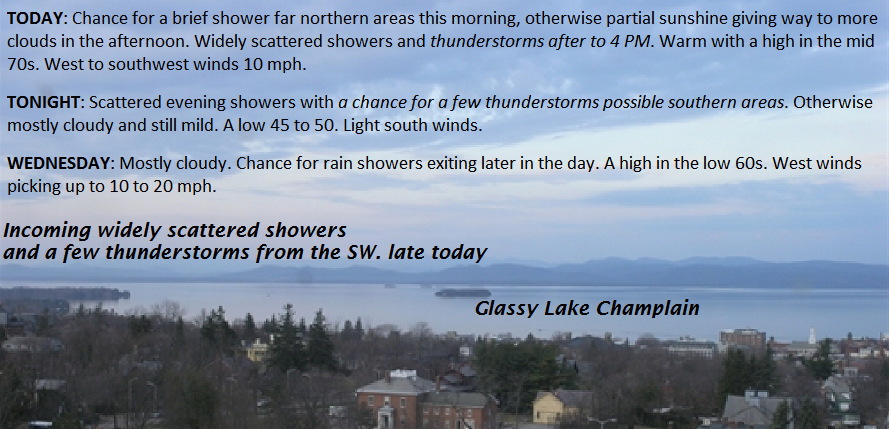
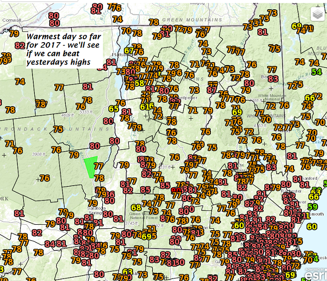
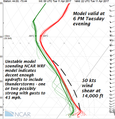
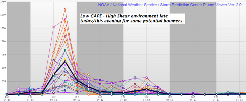
TODAY: Chance for a brief shower far northern areas this morning, otherwise partial sunshine giving way to more clouds in the afternoon. Widely scattered showers and thunderstorms after to 4 PM. Warm with a high in the mid 70s. West to southwest winds 10 mph.
TONIGHT: Scattered evening showers with a chance for a few thunderstorms possible southern areas. Otherwise mostly cloudy and still mild. A low 45 to 50. Light south winds.
WEDNESDAY: Mostly cloudy. Chance for rain showers exiting later in the day. A high in the low 60s. West winds picking up to 10 to 20 mph.
Looking Further ahead…
WEDNESDAY NIGHT: Fair early then mostly cloudy. A few rain showers mixing with wet snow mainly northern mountains. A low in the mid 30s.
THURSDAY: Chance for a morning sprinkle northern areas. Otherwise clouds giving way to intervals of late afternoon sunshine. A high in the upper 40s.
FRIDAY: Pick of the week. Blue skies and bright sunshine. A low in the mid to upper 20s. A high in the mid 50s.
SATURDAY: Filtered sunshine through high cloudiness. A low near 30. A high in the mid 50s to near 60
Average lows around 32. Normal highs in the low to mid 50s
RH/4-11[end]
