
March 27th, 2017
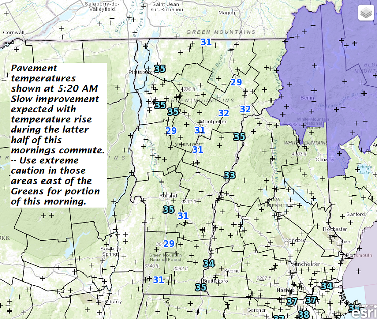
Freezing Rain Advisory through 11 AM this Monday morning…
TODAY: Gray. Pockets of freezing rain east of the Green Mountains with treacherous travel in spots through mid morning. Periods of light rain gradually tapering to showers this afternoon. Areas of fog with a high in the mid to upper 30s. Light southeast winds.
TONIGHT: Mainly cloudy. Slight chance for a rain shower or sprinkle. A low in the mid 30s. Light winds.
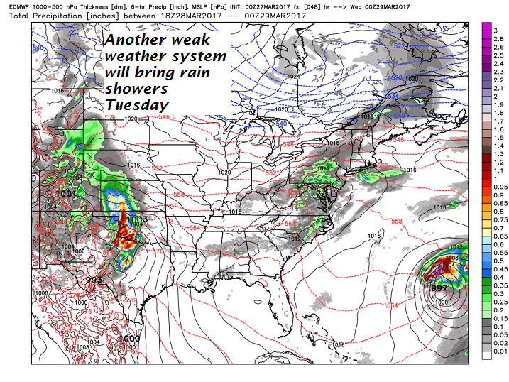
TUESDAY: Cloudy. Light rain showers likely. Much milder. A high in the upper 40s to low 50s. Light southwest winds.
Looking Further ahead…
TUESDAY NIGHT: Chance for light rain showers diminishing overnight. A low near 32.
WEDNESDAY: Intervals of sunshine mixed with clouds. Scattered mixed rain or snow showers northern areas. A high 35 to 40.
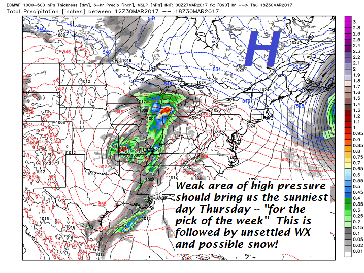
THURSDAY: Pick of the week. Sunny and gorgeous. Some late day high cloudiness. A low in the teens. A high in the low 40s.
FRIDAY: Thickening clouds. Periods of light wet snow or snow showers with some minor accumulation. A low around 20. A high in the low to mid 30s.
SATURDAY: Cloudy and gray. Periods of wet snow early, tapering to scattered snow showers or flurries. Accumulation up to locally 5” in the mountains.
Average lows in the low to mid 20s. Normal highs in the low to mid 40s
RH/3-27[end]
