
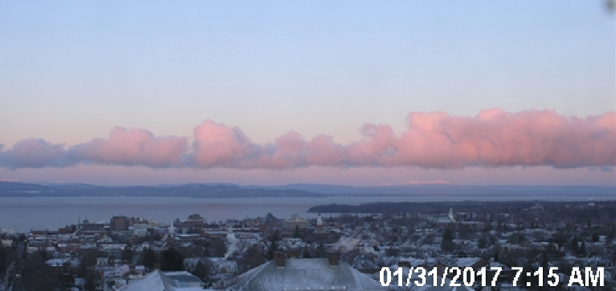
· A cold but pretty morning – usually goes hand in hand, warmer air advection usually the opposite blurring and greying the sky.
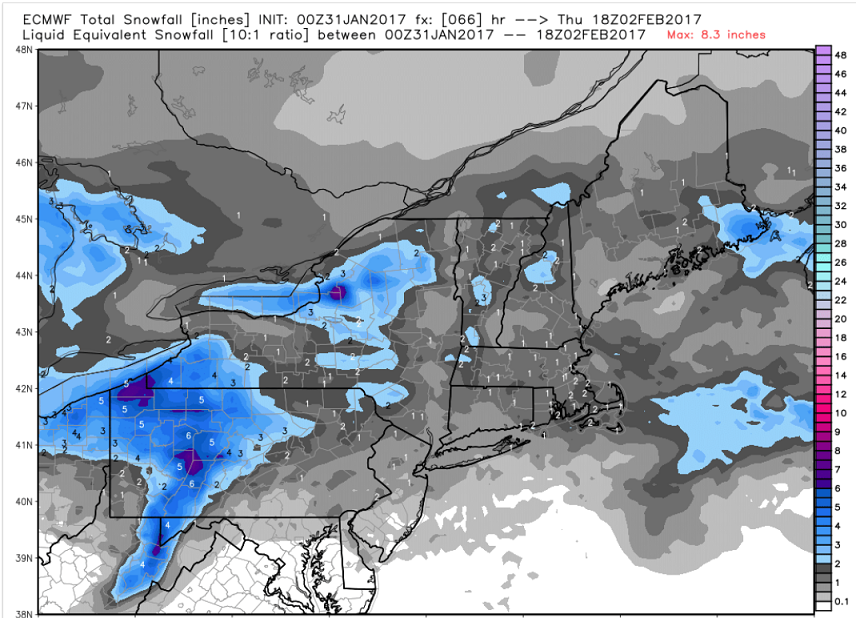
Our inbound Clipper system is an elongated one with two areas of surface low pressure. The first one will bring snow to New York City and S. New England later today – so if headed southbound beware.

· Below ECMWF modeling shown with 6 hour accumulation of snow precipitation valid at 1 PM.
· Latest indications are that modeling was backing down on snow amounts just a wee bit.
TODAY: Partly sunny. A high in the mid 20s. Light southwest winds.
TONIGHT: Increasing and thickening clouds leading to periods of light snow or snow showers with a dusting to an inch accumulation. A low in the mid to upper teens. Light winds.
WEDNESDAY: Periods of light accumulating snow with 1 to locally 3” accumulation. Breaks of late afternoon sunshine. A high in the low 30s. West breeze 10 mph.
Looking further ahead…
WEDNESDAY NIGHT: Scattered clouds in the evening with a few stray flurries. Cloudy periods overnight with scattered snow showers or flurries with minor accumulation. A low in the mid to upper teens.
THURSDAY: Partly sunny. Chance for a mountain flurry. A high in the mid 20s.
FRIDAY: Mostly cloudy. Maybe a late day flurry. A low in the single digits. A high 20 to 25.
SATURDAY: Partly sunny with scattered flurries. A low in the single digits. A high in the mid teens to around 20.
SUNDAY: Partly sunny. A low 5 below to 5 above. A high 20 to 25.
Average lows in the mid to upper single digits. Normal highs in the mid 20s to around 30.
RH/1-31[end]
