
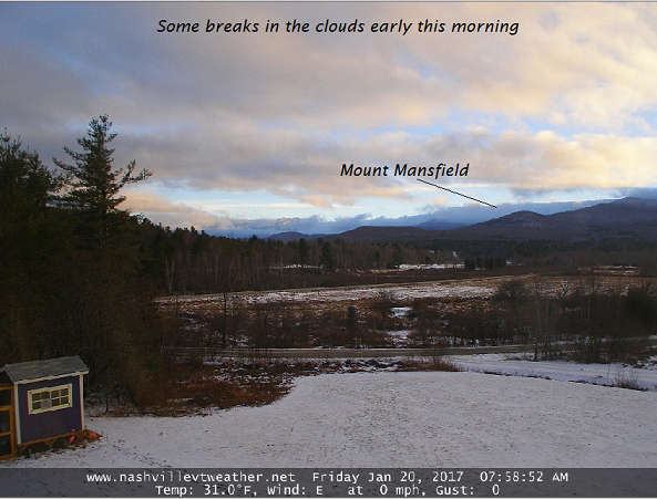
· Uneventfull through Monday morning, the rest of today will be a struggle to break up clouds but they are doing so this morning.
· Below temperature inversion schematic from modeled temperature profiles in the lowest part of the atmosphere.
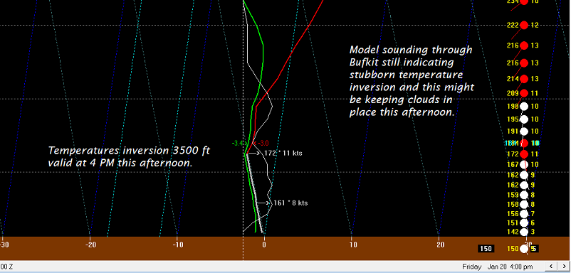
· In the past, when temperatures inversion rise avbove mountain levles rouhgly 4500 or higher clouds eventually break up.
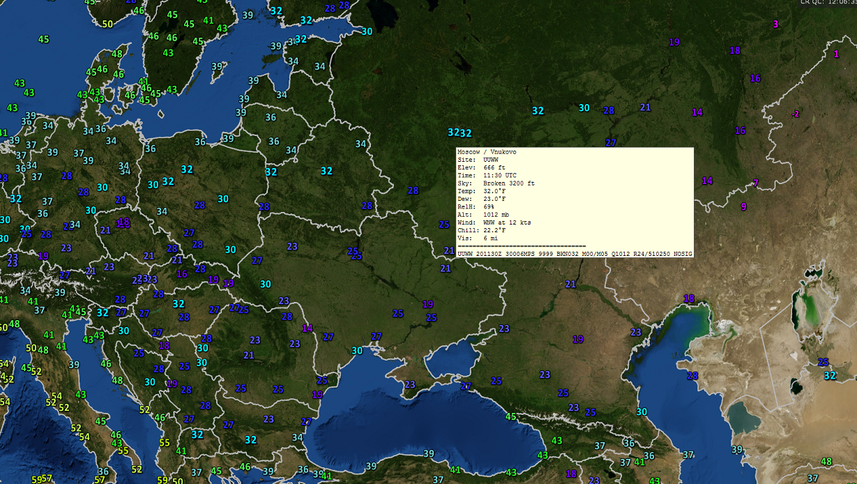
· And today in Moscow – highs above 32 degrees.
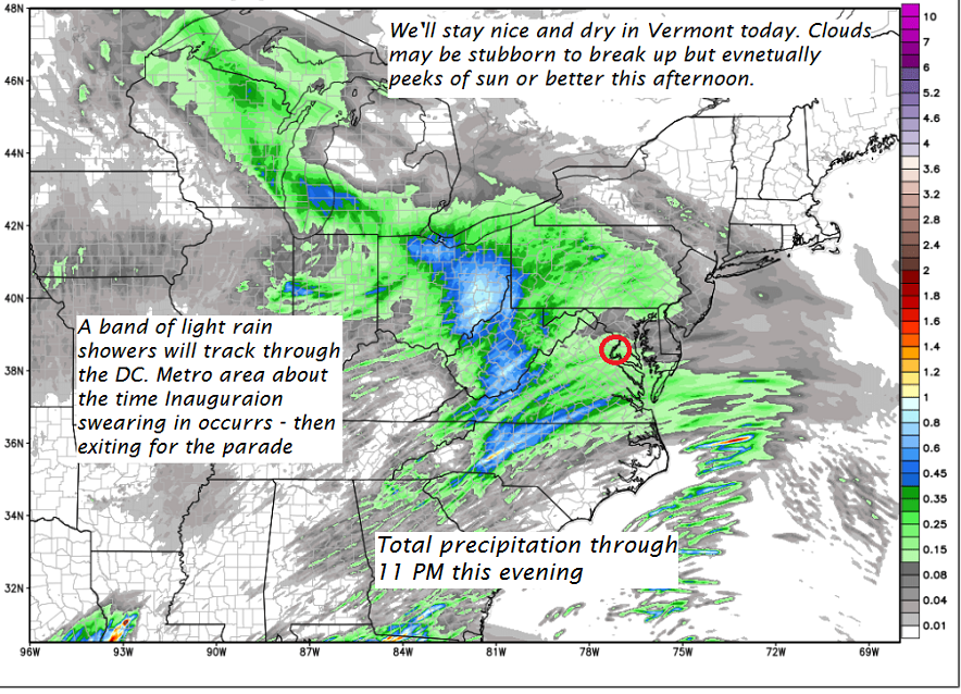
· Major protest Saturday at the Nation’s capitol and locally look fair and dry.
TODAY: Mainly cloudy this morning, then partial afternoon sunshine away from the Green Mountains. A high in the mid to upper 30s – Maybe a sap run. Light southeast winds.
TONIGHT: Cloudy. A low in the mid 20s to around 30. Light south winds.
SATURDAY: Partly to mostly cloudy. Isolated sprinkles northern areas. A high 35 to around 40. Light southwest winds.
Looking Further ahead…
SATURDAY NIGHT: Lots of clouds. Scattered flurries or sprinkles northern areas. A low around 30.
SUNDAY: Clouds mixed with sun. Slight chance for a flurry or valley sprinkle. A high in the mid 30s.
MONDAY: Cloudy. Good chance for a “wintry mix” of precipitation overspreading from south to north in the afternoon. Hazardous travel increasingly likely by late in the day. A low 25 to 30. A high in the low 30s.
TUESDAY: Wintry mix with poor travel conditions. Moderate accumulation of sleet and wet snow possible. A low around 25. A high in the low 30s.
WEDNESDAY: Chance of snow showers in the morning with partial afternoon clearing. A low 20 to 25. A high near 32.
Average lows in the single digits. Normal highs in the 20s. Midpoint of meteorological winter – Jan. 23rd.
RH/1-20[end]
