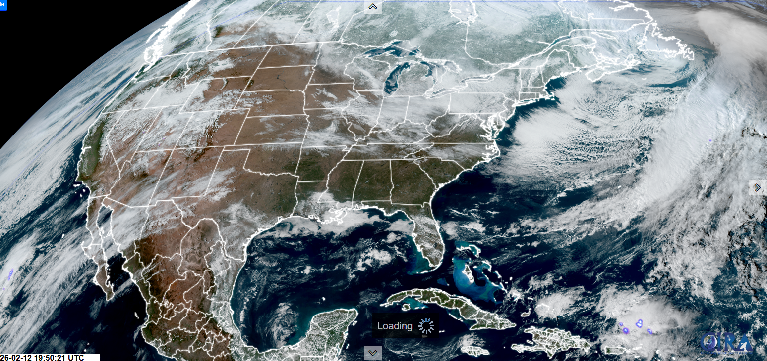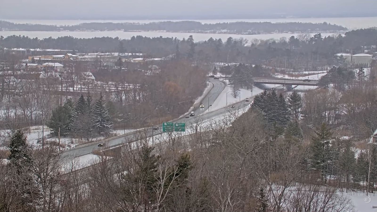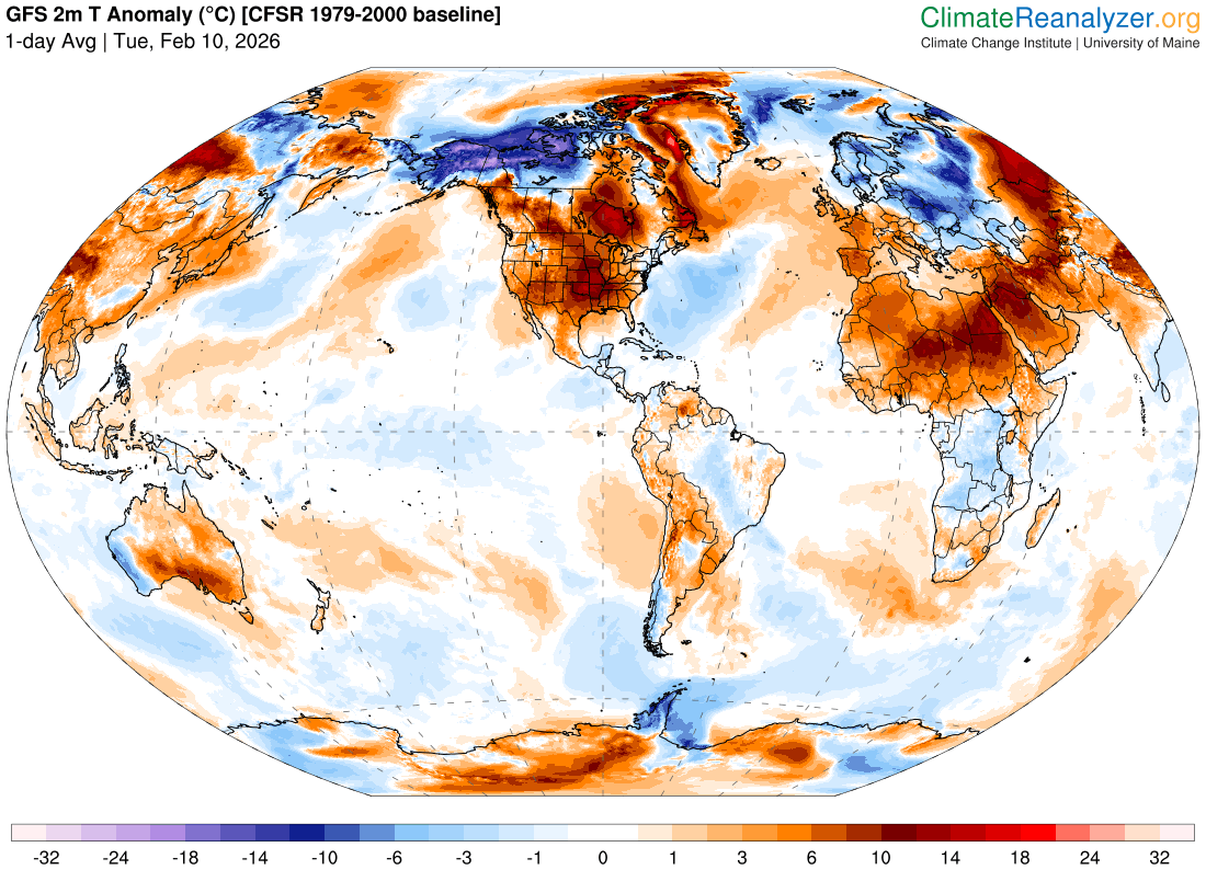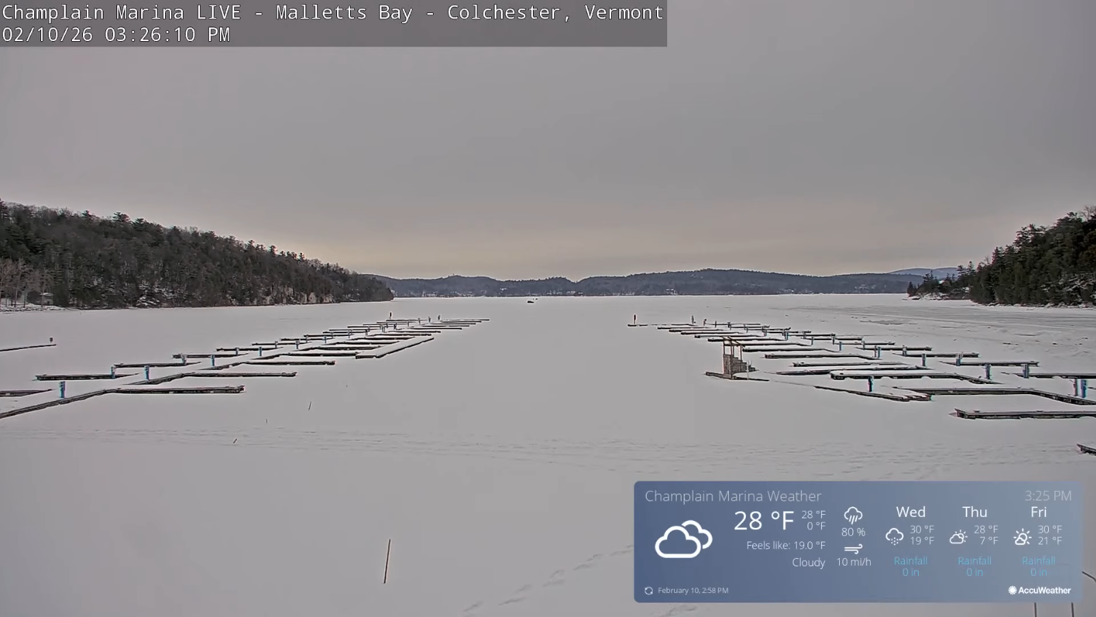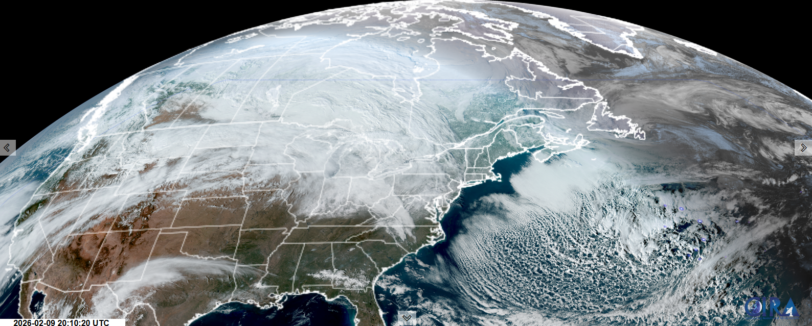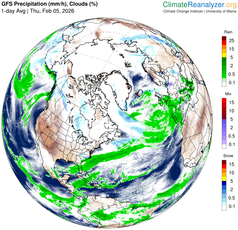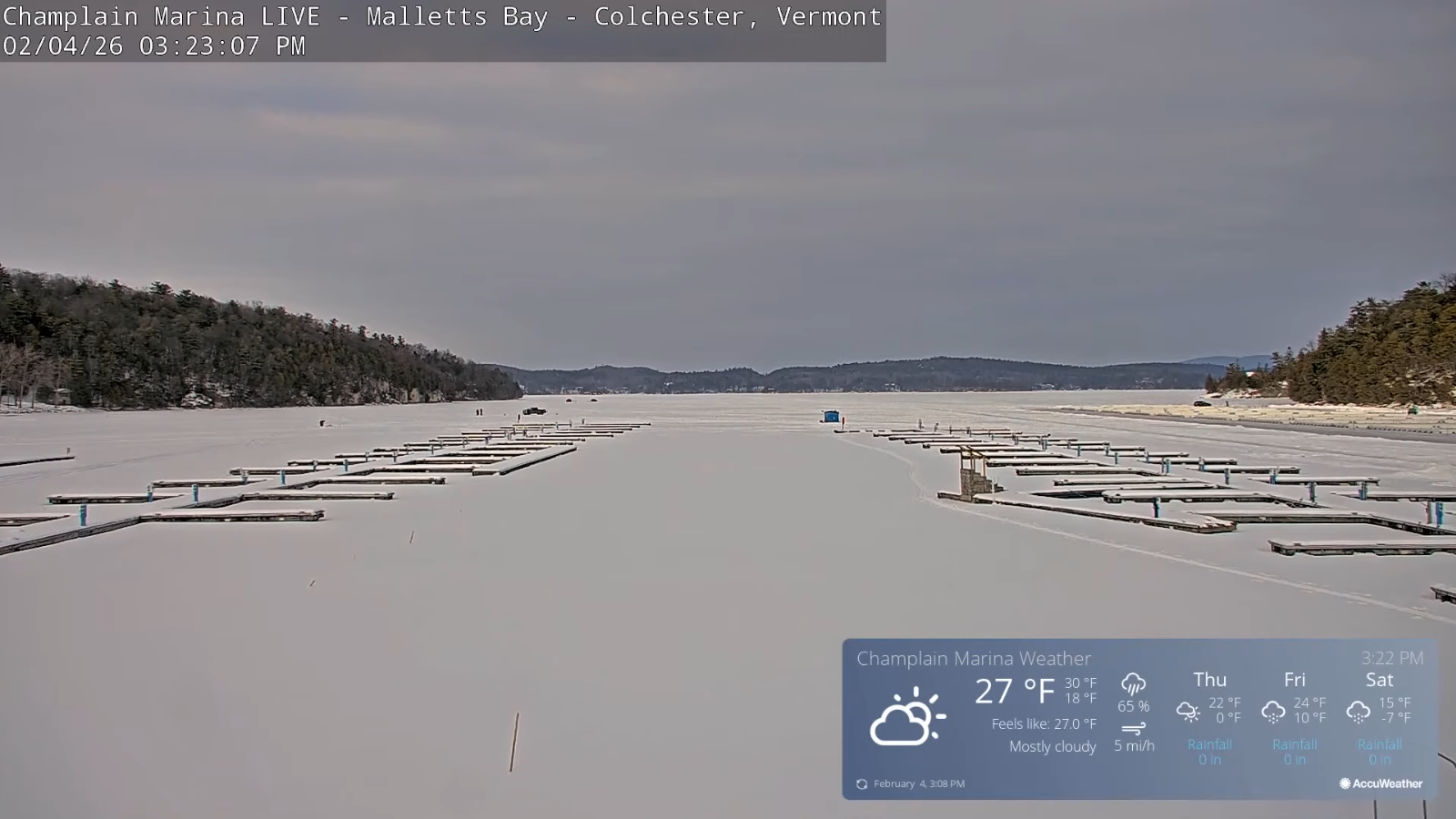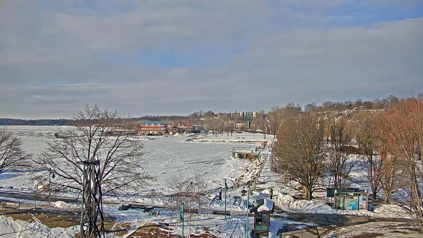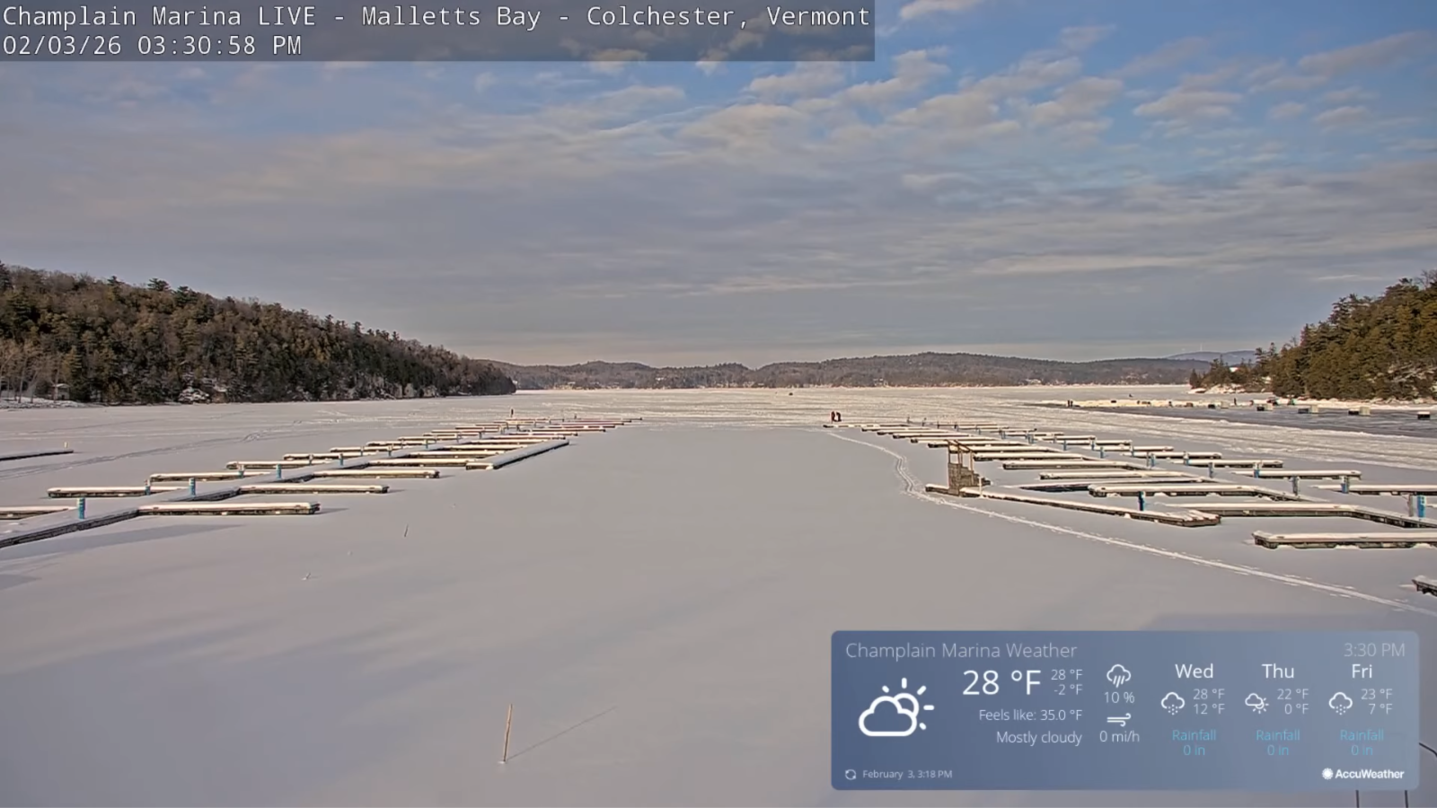
TONIGHT: Clear this evening then partly cloudy. Maybe a flurry around daybreak across western Vermont. A low zero to 10 above. Light southwest winds, breezier near Lake Champlain.
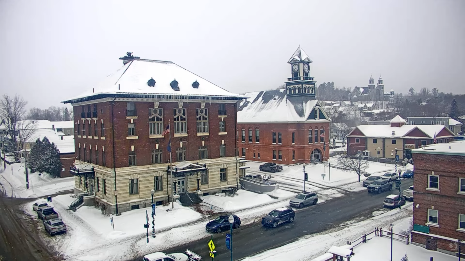
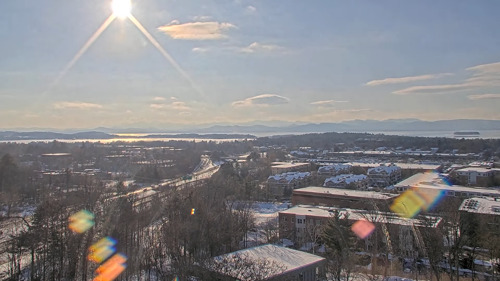
TOMORROW: Lots of clouds with an occasional flurry northern areas and a dusting. Increasing late afternoon sunshine. Highs upper 20s near 30. Light west winds then northwest 10 mph in the afternoon.
SATURDAY NIGHT: Slight chance for an early flurry Northeast Kingdom. Otherwise becoming mostly clear. Lows 5 below to 5 above. North to northwest winds 10 mph with lowered wind chills.
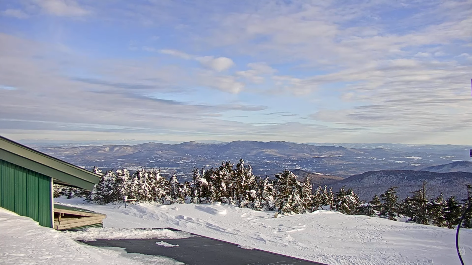
SUNDAY: Lots of sunshine with increasing late afternoon clouds.Highs mid to upper 20s. Little wind.
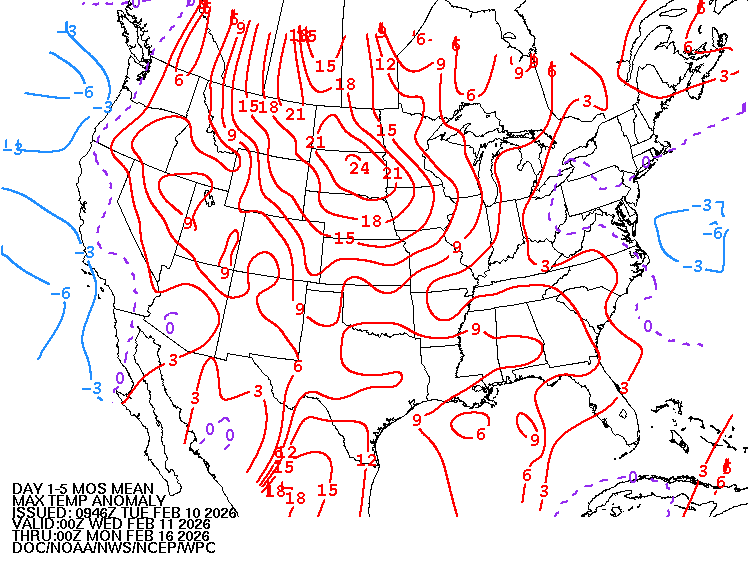
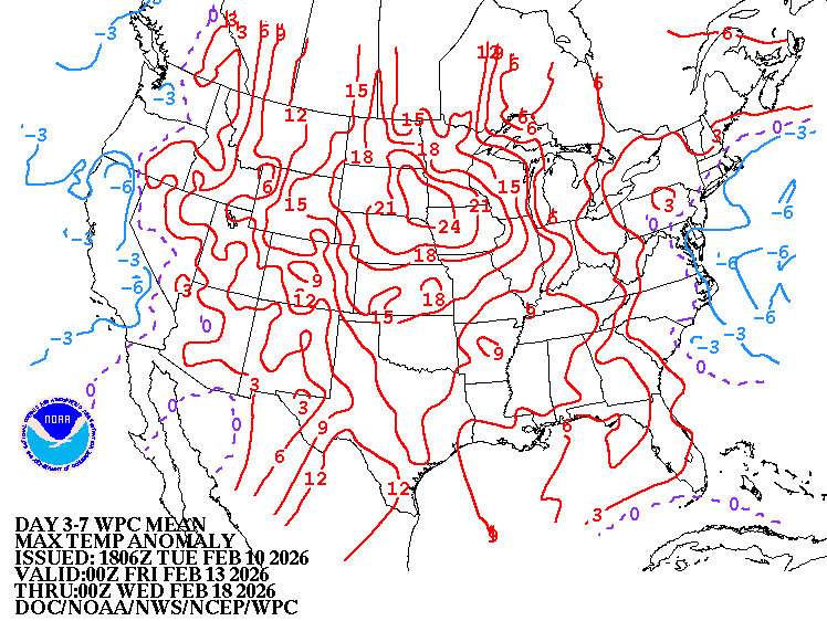
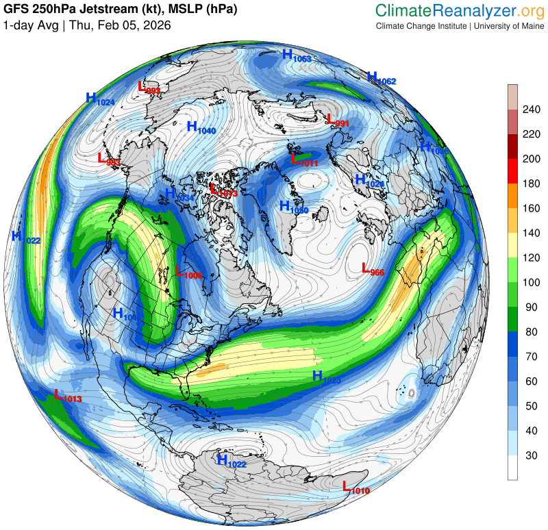
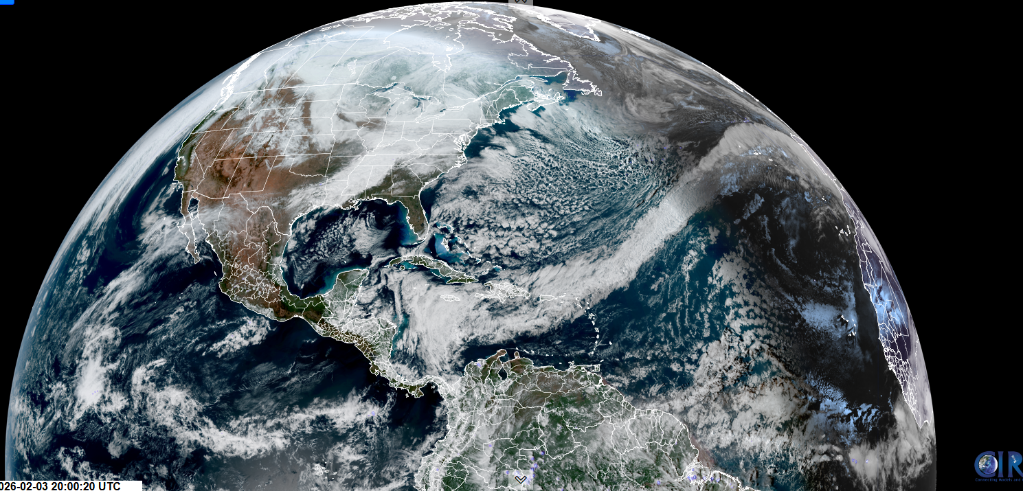
Looking further ahead
SUNDAY NIGHT: Considerable clouds. Chance for flurries late with a dusting. Evening lows 10 to 15, milder overnight.
MONDAY: Clouds with some breaks of sun.Chance for a flurry. Highs 32 to 35.
TUESDAY: Gray with late breaks of sun. Milder. Scattered wet snow showers & flurries drying up in the afternoon. Lows 25 to 30. Highs 40 to 45.
WEDNESDAY: Filtered sun north, cloudy south. Low in the teens. Highs mid-20s near 30.
Average low: single digits to low teens. Average high 25 to 35 rising slowly
Approx. end of climatological Winter March 9th
Vernal Equinox March 20th 10:46 AM
RH/2-13/forecast][end] Fox Trot Delta Tango