Wednesday Night Weather — 12-11-24

Roger Hill’s Radio Vermont forecast 3:00 PM Wednesday 12-10-24

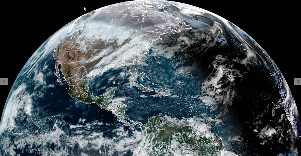
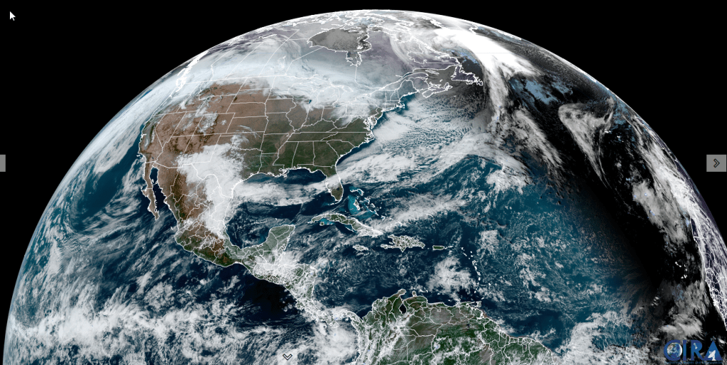
Flood Watch this Afternoon thru Thursday morning…

TONIGHT: Rain moderate to heavy this evening…changing to wet snow with a dusting to couple slushy inches mainly elevated terrain late evening on. Partial clearing developing overnight. River levels running moderately high with possible flooding. Watch for icy spots overnight. A low mid to upper 20s. West to southwest winds 10 to 20 mph and gusty

TOMORROW: Mixed clouds & sun with potentially high river levels…receding. A few northern mountain flurries with little accumulation. A high in the low 30s. Southwest winds 10 to 20 mph and gusty.

THURSDAY NIGHT: A few mountain flurries with little accumulation,otherwise becoming mostly clear & colder. A low 10 to 15 above. Light southwest winds.

FRIDAY: Partly to mostly sunny & continued cold. A high 20 to 25. Westerly winds 10 to 15 mph.

Looking further ahead

FRIDAY NIGHT: Couple of clouds but mostly clear & frigid. A low in the single digits.

SATURDAY: Mostly sunny & rather chilly. A high 20 to 25.

Full Cold Moon 4:02 AM

SUNDAY: Cloudy. A low 5 to 15 above. A high 25 to 30.

MONDAY: Sunshine gives way to high cloudiness. Seasonal temperatures. A low 15 to 20. A high 30 to 35.

Average lows teens to near 20. Average high upper 20s to mid-30s

RH/12-10forecast][end]

Tuesday Night Weather — 12-10-24

Roger Hill’s Radio Vermont forecast 3:00 PM Tuesday 12-10-24

TONIGHT: Cloudy. A few sprinkles, with pockets of freezing rain and icy travel east of the Greens this evening. Periods of rain…a risk of isolated pockets of freezing rain east of the Greens with slick travel. An early evening low near 32. Southeast winds 10 mph.

Flood Watch Wednesday Afternoon thru Thursday morning…

TOMORROW: Overcast. Rain…moderate to heavy at times in the afternoon combining with snowmelt and rising streams & rivers with potential for flooding. A high about 45. Light southeast winds.

WEDNESDAY NIGHT: Rain moderate to heavy in the evening…changing to wet snow elevated terrain, exiting before daybreak with partial clearing overnight. Accumulations dusting to 2”. River levels maybe running moderately high. A low in the upper 20s. Southwesterly winds 10 to 20 mph and gusty

THURSDAY: Mixed clouds & sun with potentially high river levels…receding. Scattered mountain flurries with little accumulation. A high around 30. West to southwest winds 10 to 20 mph and gusty.

Looking further ahead

THURSDAY NIGHT: Chance for a few lake effect snow showers with minor accumulation northern areas early,otherwise becoming mostly clear & colder. A low 5 to 15 above.

FRIDAY: Lots of sunshine with mountain clouds. A high 20 to 25.

SATURDAY: Bright sunshine & blue skies. A low in the single digits. A high in the mid to upper 20s.

SUNDAY: Cloudy. A low 10 to 15 above. A high in the low 30s. 

Average lows teens to near 20. Average high upper 20s to mid-30s

RH/12-10forecast][end]

Monday Night Weather — 12-9-24

Roger Hill’s Radio Vermont forecast 3:00 PM Monday 12-9-24

Winter Weather Advisory thru 10 AM except for Champlain Valley

TONIGHT: Overcast. Periods of snow moderate to briefly heavy for a time this evening…tapering off to pockets of mixed precipitation and slick travel. A low mid-20s to around 30. East winds 10 mph.

TOMORROW: Gray. Scattered light rain showers. A high mid to upper 30s. Light southeast winds.

TUESDAY NIGHT: Cloudy. Periods of rain…a risk of freezing rain east of the Greens in the evening with slick travel. A low around 35. Southeast winds 10 mph.

WEDNESDAY: Overcast. Rain…moderate to heavy at times, with lots of snowmelt and rising rivers with potential for river flooding lower elevations. A high 40 to 45. Light southeast winds.

Looking further ahead

WEDNESDAY NIGHT: Rain, changing to wet accumulating snow elevated terrain, before exiting to some partial clearing overnight. Accumulations dusting to 2”. River levels maybe running moderately high. A low in the upper 20s.

THURSDAY: More sun than clouds. Chance for afternoon mountain snow showers or flurries with minor accumulations.                        A high in the low 30s.

FRIDAY: Mostly sunny. A low 10 to 15. A high 20 to 25.

SATURDAY: Lots of sunshine. A low in the single digits. A high in the mid to upper 20s.

Average lows teens to near 20. Average high upper 20s to mid-30s

RH/12-9forecast][end]

Friday Night Forecast —

Roger Hill’s Radio Vermont forecast 3:00 PM Friday 12-6-24

TONIGHT: Becoming mostly cloudy. Scattered light snow showers or flurries after midnight. A dusting to an inch. An early evening low 10 to 15. Light southwest winds.

TOMORROW: Mainly cloudy & rather cold. Scattered flurries early then drying up. Little accumulation. Continued colder than normal. A high near 25. Light west winds becoming southerly late.

SATURDAY NIGHT: Cloudy. Periods of snow likely late evening on, possibly moderate at times. Accumulations around an inch. A low around 15. South breeze 10 to 15 mph.

SUNDAY: Gray. Scattered light snow showers early tapering to isolated sprinkles. …dusting to an inch northern areas. Seasonable temperatures. A high 35 to 40. Winds becoming west to northwest 10 to 15 mph.

Looking further ahead

SUNDAY NIGHT: Lots of clouds. A low around 15.

MONDAY: Thickening clouds. Chance for rain or mixed precipitation developing with minor coatings. A high around 35

TUESDAY: Cloudy. Chance for early mixed precipitation tapering to sprinkles. A low near 32. A high upper 30s near 40.

WEDNESDAY: Overcast. Periods of rain…possibly moderate at times. Milder. A low mid-30s. A high 40 to 45.

Average low mid-teens to low 20s. Average high 35 to 40

This forecast and to be issued – Monday thru Friday.

RH/12-6forecast][end]

Thursday Night Weather

Roger Hill’s Radio Vermont forecast 3:00 PM Thursday 12-5-24

TONIGHT: Lots of clouds & blustery. Accumulating snow showers near the Green Mountains with lighter snowfalls or flurries elsewhere winding down overnight. Accumulations of a dusting…to locally 3” northern Green Mountain Ski Resorts. A low-upper teens. Northwest winds 10 to 20 mph and gusty.

TOMORROW: Morning clouds giving way to intervals of sunshine. Blustery and cold. A high in the upper teens to low 20s. Northwest winds 10 to 20 mph.

FRIDAY NIGHT: Considerable cloudiness. Scattered light lake effect snow showers or flurries after midnight. Minor accumulation. An early evening low around 15. Light southwest winds.

SATURDAY: Mainly cloudy & rather cold. Scattered flurries early then drying up. Little accumulation. A high in the low 20s. Light west winds.

Looking further ahead

SATURDAY NIGHT: Cloudy. Good chance for snow showers developing overnight, with accumulations around an inch. A low 5 to 10 above.

SUNDAY: Gray. Chance for light snow showers…dusting to an inch northern areas. A high near 40

MONDAY: Increasing clouds. Chance for rain or mixed precipitation developing in the afternoon. A low around 30. A high around 40.

TUESDAY: Cloudy. Chance for rain or mixed precipitation…possibly significant amounts with slick travel. A low around 32. A high low to mid 40s.

Average low mid-teens to low 20s. Average high 35 to 40

*This forecast and to be issued – Monday thru Friday.

RH/12-5forecast][end]

Roger Hill’s Radio Vermont forecast 3:00 PM Wednesday 12-4-24

Winter Weather Advisory thru late Thursday night…for multiple rounds of accumulating snow & slippery travel…

TONIGHT: Overcast. Occasional light accumulating snow or snow showers. Accumulations of an inch or two”. A low around 25. South winds 10 mph but gustier Champlain Valley. 

TOMORROW: Gray & becoming blustery late. Occasional light accumulating snow or snow showers continues. Accumulation about dusting to 2”…most off the valley floors. A high 32 to 35. Light south winds shifting to westerly and increasing late.

THURSDAY NIGHT: Lots of clouds & blustery. Light accumulating snow or snow showers with additional accumulation of 1 to locally 3”…most western slopes of the Greens. A low 10 to 15. Northwest winds 10 to 20 mph and gusty.

FRIDAY: Morning clouds giving way to intervals of sunshine. Blustery and colder with temperatures in the teens. Northwest winds 10 to 20 mph.

Looking further ahead

FRIDAY NIGHT: Considerable cloudiness. Scattered light lake effect snow showers or flurries after midnight with minor accumulation. A low 5 to 15 above.

SATURDAY: Mainly cloudy & rather cold. Chance for accumulating “lake effect” snow showers.. A high low to mid 20s.

SUNDAY: Gray. Chance for morning snow showers or flurries exiting in the afternoon. A low in the 20s. A high near 40

MONDAY: Increasing clouds. Chance for rain developing in the afternoon. A low in the 30s, highs in the lower 40s.

Average low mid-teens to low 20s. Average high 35 to 40

*This forecast and to be issued – Monday thru Friday.

RH/12-4forecast][end]

Tuesday night Forecast —

Roger Hill’s Radio Vermont forecast was updated 4 PM Tuesday 12-3-24

TONIGHT: Occasional flurries and mountain snow showers with a dusting to an inch ending toward midnight. Otherwise becoming partly to mostly cloudy. Light west winds. 

Winter Weather Advisory Wednesday Afternoon lasting into late Thursday night…multiple rounds of snow…

TOMORROW: A few breaks of morning sun, then clouding up. A rising chance for light accumulating snow or snow showers. The high upper 20s about 30. Winds becoming southerly 10 mph higher near Lake Champlain.

WEDNESDAY NIGHT: Overcast. Occasional light accumulating snow with an inch or two. A low near 25. Blustery out of the south.

THURSDAY: Gray skies with a peek or two of dim sun. Occasional accumulating light wet snow with about 1 to 2 inches especially higher northern terrain. A high 32 to 35. South winds 10 to 15 mph. 

Looking further ahead

THURSDAY NIGHT: Cloudy. Light snow accumulation up to 2” likely. A low around 15.

FRIDAY: More sun than clouds. Colder & blustery. A high 20 to 25.

SATURDAY: Mainly cloudy & rather cold. Chance for accumulating “lake effect” snow showers. Frigid with a morning low near 5 above. A high mid-20s.

Average low mid-teens to low 20s. Average high 35 to 40

*This forecast and to be issued – Monday thru Friday.

RH/12-3forecast][end]

December 2nd forecast details

Roger Hill’s Radio Vermont forecast 2:30 PM Monday 12-2-24

THIS AFTERNOON: Clouds with a few intervals of sun away from the mountains. Widely scattered mountain flurries. A high near 30.

TONIGHT: Variable clouds. Scattered snow showers and flurries especially northwestern Vermont with a dusting to a couple fluffy inches western slopes of the Greens. A low mid-teens to near 20. Light northwest winds.

TOMORROW: Mainly gray. Chance for snow showers/flurries mainly Champlain Valley. A high upper 20s to around 30. Light west winds.

Looking further ahead

TUESDAY NIGHT: Partly cloudy. A low around 15.

WEDNESDAY: A few breaks of morning sun, then clouding up leading to a rising chance for light accumulating snow or snow showers.A high upper 20s about 30.

THURSDAY: Gray skies with a peek or two of dim sun. Occasional accumulating light wet snow showers. A low near 25. A high 32 to 35 & breezy out of south.  

FRIDAY: Northern cloudiness with intervals of sun away from the mountains otherwise. Colder & blustery. Temperatures around 20, falling into the teens.

THIS WEEKEND: Unsettled and cold. Chance for accumulating snow showers especially Saturday. Lows in the teens, with highs in the 20s.   

Average low mid-teens to low 20s. Average high 35 to 40

*This forecast and to be issued – Monday thru Friday.

RH/12-2forecast][end]

Updated Monday Morning Forecast — January 22nd, 2024

Coldest climatological period of winter…

TODAY: Periods of morning sunshine give way to more cloudiness this afternoon. A high jumps up into the low 30s. Light southwest winds, stronger near Lake Champlain.

TONIGHT: Gray skies. Flurries likely later this evening with a minor coating. A low in the mid-20s. Southwest winds 10 mph shifting to westerly overnight.

TUESDAY: Scattered flurries in the morning drying up in the afternoon. A high around 30. Light northwest winds.

Looking further ahead

TUESDAY NIGHT: Overcast. A rising chance for light snow developing south to north toward midnight with light accumulations. A low in the upper teens to low 20s.

WEDNESDAY: Chance for light snow or snow showers in the morning. Around an inch of accumulation.A high upper 20s to around 30.

THURSDAY: Overcast.Chance for rain, becoming moderate at times, beginning early as a wintry mix with icy travel possible.An early low around 30. A high reaching into the upper 30s.

FRIDAY: Cloudy.Chance for rain showers in the morning isolated in the afternoon.Areas of fog. A low in the low to mid 30s. A high pushing to near 50.

Average lows single digits. Average highs mid to upper 20s coldest period of winter.

RH/1-22forecast][end]

Updated Thursday morning Forecast — January 18th, 2024

TODAY: Variable morning clouds with breaks of sunshine, then clouding up. Scattered lake effect snow showers/flurries develop this afternoon, with a minor coating. A high in the lower 20s. West to southwest winds 10 mph.

TONIGHT: Mostly cloudy. Occasional mountain snow showers and valley flurries. A dusting to locally 2 inches of fluffy accumulation. A low 5 to 10 above. Little wind.

FRIDAY: Breaks or intervals of sun northern areas, otherwise clouding up. A stray flurry. A high near 15. Light north to northwest winds.

Looking further ahead

FRIDAY NIGHT: Lots of clouds.Chance for mountain snow showers, valley flurries overnight with a minor coating. A low about zero to 5 above.

SATURDAY: Gray & cold. Persistent scattered mountain snow showers and valley flurries. A dusting to couple inches of fluff. A high near just 10 degrees.

SUNDAY: Clouds with a few flurries early, then partly to mostly sunny in the afternoon. A low zero to 5 above. A high 10 to 15.

MONDAY: Some morning sun, then thickening clouds with more flurries northern areas. A low in the single digits. A high mid-20s.

TUESDAY: Mainly gray. Widely scattered flurries or mountain snow showers. A low in the upper teens to near 20. A high 25 to 30.

Average lows single digits. Average highs mid to upper 20s coldest period of winter.

RH/1-18forecast][end]