Updated Tuesday Morning Forecast — December 26th, 2023

TODAY: Drab & gray with areas of dense fog. Pockets of drizzle. A high in the mid-40s. Light south winds.

TONIGHT: Cloudy. A rising chance for light rain showers pockets of drizzle. An evening low in the mid-30s. Light south winds.

WEDNESDAY: Gray skies. Scattered sprinkles or light showers northern areas. A high 40 to 45. Light south winds.

Looking further ahead

WEDNESDAY NIGHT: Overcast. Chance for light rain or drizzle with areas of fog. A low mid to upper 30s.

THURSDAY: Cloudy. Chance for light showers mainly central and southern areas. A high 40 to 45.

FRIDAY: Overcast. Scattered rain showers or spotty mixed precipitation with slick travel developing transitioning to light wet spotty snow or flurries. A low 32 to 35. A high in the mid to upper 30s. 

SATURDAY: Gray and a little blustery at times. Scattered mainly mountain snow showers or flurries with minor accumulation. A low upper 20s to around 30. A high around 32 degrees.

SUNDAY: Maybe a break or two of sun but lots of clouds. A low 20 to 25. A high around 30.

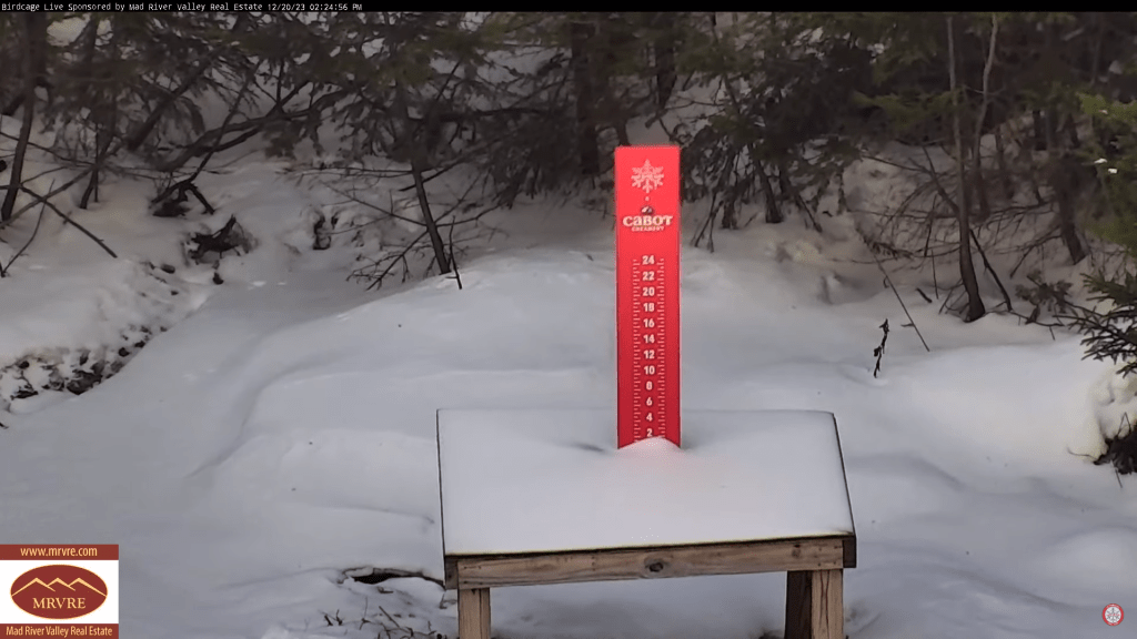
Average lows mid-single digits to lower-teens. Average highs mid-20s to lower 30s

RH/12-26forecast][end]

Updated Wednesday Evening Forecast — December 20th, 2023

TONIGHT: Cloudy periods this evening then clearing overnight.A low in the mid to upper teens. North winds continue at 10 mph.

TOMORROW: Mostly sunny. A high in the upper 20s. Northerly winds continuing 10 mph.

Winter Solstice December 21st 10:27 PM Thursday evening….

THURSDAY NIGHT: Clear with a couple high clouds. A low ranging 5 to 15 above. Light north winds.

FRIDAY: Sunshine with a few high clouds late.A high 25 to 30. Little wind.

Looking further ahead

FRIDAY NIGHT: A few high clouds. A low in the upper teens.

SATURDAY: Clouds with an occasional break or interval of sun. A high in the upper 30s.

SUNDAY: Sunshine mixing with more clouds late. A low 20 to 25. A high 40 to 45.

MONDAY CHRISTMAS DAY: Sunshine filtered thru high cloudiness. A low around 25. A high in the mid-40s.

TUESDAY: Mostly cloudy. A rising chance for rain & possible mixed precipitation later on. A low around 30. A high 40 to 45.

Average lows upper single digits to mid-teens. Average highs upper 20s to mid-30s

RH/12-19forecast][end]

Updated Friday evening Forecast — December 1st, 2023

TONIGHT: Overcast.Rain…this evening, mainly light with areas of dense fog developing. A few leftover sprinkles overnight. Watch for icy spots. A low about 32 to 35. Light south winds.

TOMORROW: Mainly gray. A few light rain showers in northern areas. A high near 40. Little wind.

SATURDAY NIGHT: Widely scattered light rain showers with pockets of freezing rain & possible slick travel northern tier regions. A low in the low 30s.

SUNDAY: Clouds with a break or two of sun. Rain likely in the afternoon…transitioning to wet snow late across upper mountain slopes. A high in the upper 30s.

Looking further ahead

SUNDAY NIGHT: Overcast. Rain going over to accumulating wet snow down to valley floors…moderate to heavy at times with several inches likely.. A low near 32.

MONDAY: Gray. Good chance for occasional light accumulating snow showers or flurries. A high 32 to 35.

TUESDAY: Intervals of sun after a morning mountain flurry. Lows 10 to 15. Highs in the mid-20s.

WEDNESDAY: High cloudiness but fair and cold. A low in the single digits above zero. A high 20 to 25.

Average lows upper teens to mid-20s. Average highs are mid-30s to around 40.

Note – off for the next two weeks….

RH/12-1forecast][end]