TONIGHT: Partly cloudy to mostly clear & moonlit skies. A low ranging 5 to 15 above. Light west winds.
TOMORROW: Morning clouds then lots of afternoon sunshine. Rather chilly. A high 20 to 25. Light northwest winds.
Full Cold Moon 4:02 AM
SATURDAY NIGHT: Mostly clear, moonlit & frigid. A low ranging 5 below to 10 above. Little wind.
SUNDAY: Sunshine becoming filtered through high clouds. A high mid to upper 20s. Light south winds.
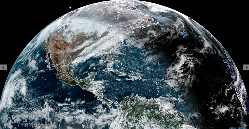
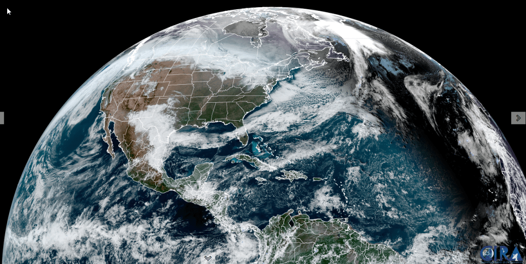
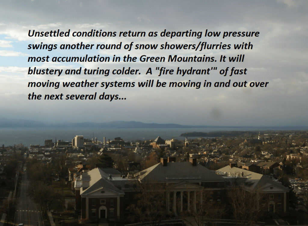
Looking further ahead
SUNDAY NIGHT: Mainly cloudy. Chance for flurry southern areas. A low mid-teens to low 20s.
MONDAY: Variable cloudiness with more sunshine eastern areas. Seasonal temperatures. A high in the mid-30s.
TUESDAY: Gray. Chance for rain…moderate at times, tapering to scattered showers in the afternoon. Possible icy spots. An early low 32 to 35. A high in the mid-40s.
WEDNESDAY: Considerable mid and high cloudiness. A low in the low to mid 30s. A high around 35.
Average lows teens to near 20. Average high upper 20s to mid-30s
RH/12-13forecast][end]