Updated Monday Morning Forecast — January 22nd, 2024

Coldest climatological period of winter…

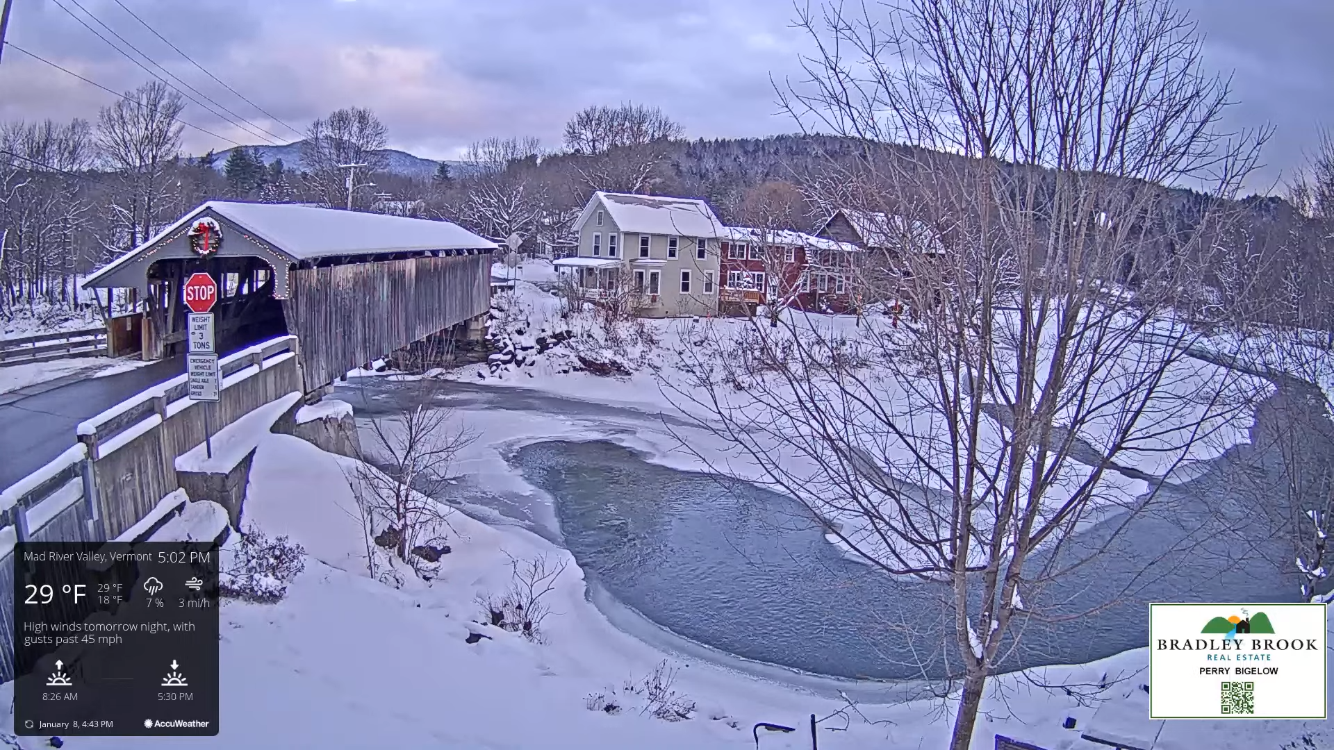
TODAY: Periods of morning sunshine give way to more cloudiness this afternoon. A high jumps up into the low 30s. Light southwest winds, stronger near Lake Champlain.

TONIGHT: Gray skies. Flurries likely later this evening with a minor coating. A low in the mid-20s. Southwest winds 10 mph shifting to westerly overnight.

TUESDAY: Scattered flurries in the morning drying up in the afternoon. A high around 30. Light northwest winds.

Looking further ahead

TUESDAY NIGHT: Overcast. A rising chance for light snow developing south to north toward midnight with light accumulations. A low in the upper teens to low 20s.

WEDNESDAY: Chance for light snow or snow showers in the morning. Around an inch of accumulation.A high upper 20s to around 30.

THURSDAY: Overcast.Chance for rain, becoming moderate at times, beginning early as a wintry mix with icy travel possible.An early low around 30. A high reaching into the upper 30s.

FRIDAY: Cloudy.Chance for rain showers in the morning isolated in the afternoon.Areas of fog. A low in the low to mid 30s. A high pushing to near 50.

Average lows single digits. Average highs mid to upper 20s coldest period of winter.

RH/1-22forecast][end]

Updated Monday Evening Forecast — January 8th, 2023

TONIGHT: Partly cloudy this evening, then clouding up. A low around 15. Little wind.

High Wind Watch from Tuesday afternoon thru Wednesday afternoon…

TOMORROW: Gray. Light accumulating snow develops around or before dark. A high in the upper 20s to near 30. Southeast winds develop at 10 to 20 mph later in the afternoon.

TUESDAY NIGHT: Overcast & windy. Wet snow is likely, moderate to heavy at times …with a few to several inches of accumulation…transitions to a wintry mix…and eventually rain by daybreak. Temperatures rise into the mid and upper 30s by daybreak. Southeasterly winds 15 to 35 mph with gusts over 45 mph.

WEDNESDAY: Rain…tapering to scattered light showers later morning on. Milder with intervals of sunshine breaking out. A high in the low to mid-40s. Southwest winds 10 to 15 mph.

Looking further ahead

WEDNESDAY NIGHT: Mostly cloudy. Widely scattered flurries. A low around 30.

THURSDAY: Mainly cloudy. A stray flurry becoming more numerous in northern areas. A high in the low to mid-30s.

FRIDAY: Pick of the week.Partly to mostly sunny. A low around 25. A high near 32.

SATURDAY: Morning clouds. Chance for accumulating wet snow with a few inches possible transitioning to periods of rain or showers with intervals of sunshine. A low in the mid-20s. A high around 40.

Average lows single digits. Average highs mid-20s to 30

RH/1-8forecast][end]

Updated Tuesday Morning Forecast — December 26th, 2023

TODAY: Drab & gray with areas of dense fog. Pockets of drizzle. A high in the mid-40s. Light south winds.

TONIGHT: Cloudy. A rising chance for light rain showers pockets of drizzle. An evening low in the mid-30s. Light south winds.

WEDNESDAY: Gray skies. Scattered sprinkles or light showers northern areas. A high 40 to 45. Light south winds.

Looking further ahead

WEDNESDAY NIGHT: Overcast. Chance for light rain or drizzle with areas of fog. A low mid to upper 30s.

THURSDAY: Cloudy. Chance for light showers mainly central and southern areas. A high 40 to 45.

FRIDAY: Overcast. Scattered rain showers or spotty mixed precipitation with slick travel developing transitioning to light wet spotty snow or flurries. A low 32 to 35. A high in the mid to upper 30s. 

SATURDAY: Gray and a little blustery at times. Scattered mainly mountain snow showers or flurries with minor accumulation. A low upper 20s to around 30. A high around 32 degrees.

SUNDAY: Maybe a break or two of sun but lots of clouds. A low 20 to 25. A high around 30.

Average lows mid-single digits to lower-teens. Average highs mid-20s to lower 30s

RH/12-26forecast][end]