Roger Hill’s Radio Vermont forecast 3:00 PM Friday 12-27-24
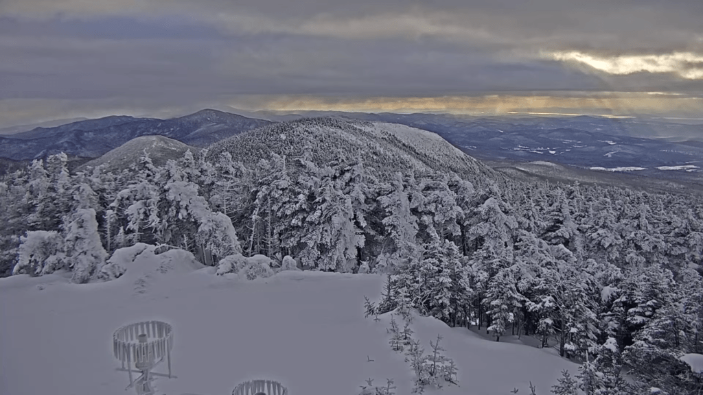
TONIGHT: Some high cloudiness otherwise mostly clear. A low upper single digits to around 15 above. Little wind.
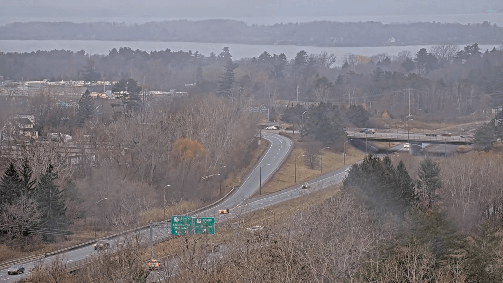
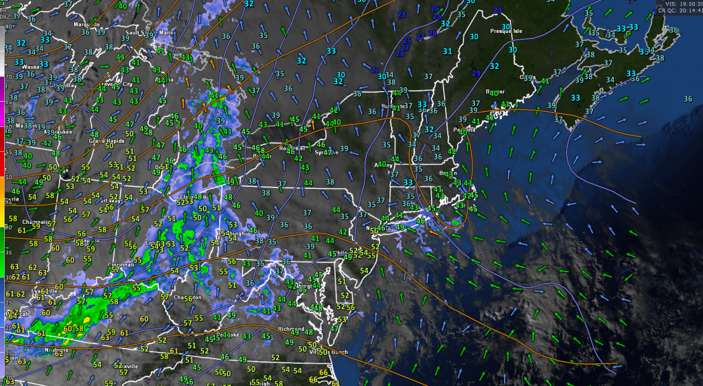
TOMORROW: Thickening clouds. Maybe a sprinkle or two central & southern areas. Maybe an icy spot. A high 35 to 40. Light southeast winds, but breezier Lake Champlain.
SATURDAY NIGHT: Cloudy. Chance for a sprinkle especially southern areas. Maybe an icy spot. A low 30 to 35. Light south winds, but breezier Lake Champlain.
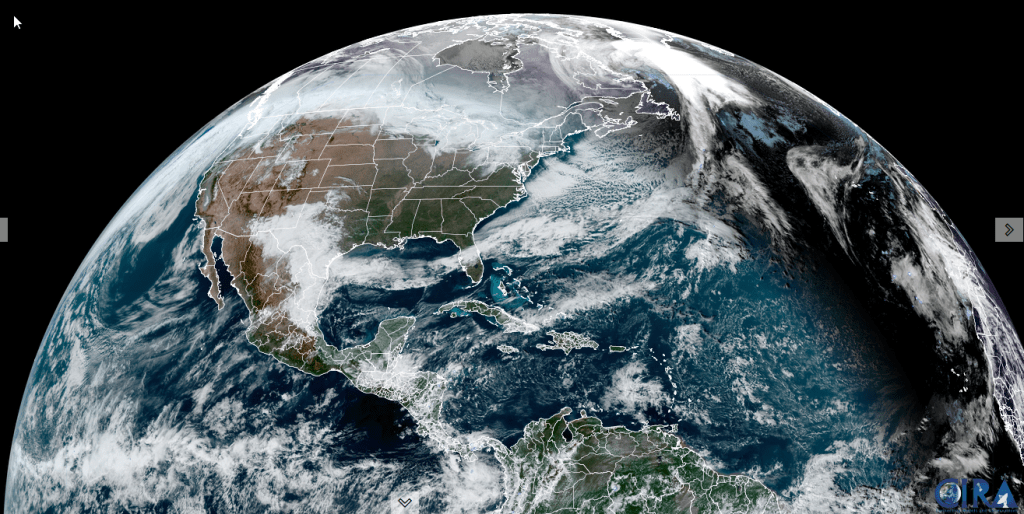
SUNDAY: Gray. A rising likelihood for rain showers…shifting south to north. A high in the low 40s. Light southeast winds, but breezier Lake Champlain.
Looking further ahead
SUNDAY NIGHT: Lots of clouds with scattered light rain showers especially late. Becoming rather breezy western slopes. Milder. An early low near 40 rising toward 50 overnight.
MONDAY: Chance for rain showers…moderate at times mid-day. Otherwise gray & breezy to windy western slopes of Green Mountains…with partial clearing late. Above normal in temperature. A high upper 40s to around 50.
TUESDAY: Morning cloudiness, then increasing sunshine.A low near 35. A high near 40.
WEDNESDAY: Gray. Chance for rain…mixing with wet slushy snow…possibly significant in the mountains. A low near 30. A high mid to upper 30s.
Average low 5 to 15. Average high mid-20s to near 32.
RH/12-27forecast][end]