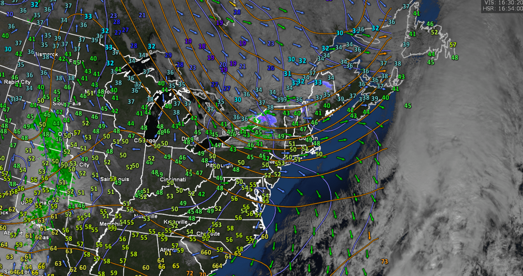
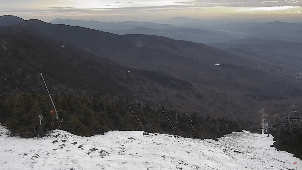
TODAY: A few clouds northern areas with a few flurries early, otherwise bright sun and blue skies but cold. A high in the upper 20s to about 30. Light northwest winds.
TONIGHT: Clear this evening then some high clouds overnight. A low ranging thru the teens. Little wind.
TUESDAY: Filtered morning sun then thickening high clouds. A high in the low to mid 30s. Light southeast winds increasing to around 10 mph late.
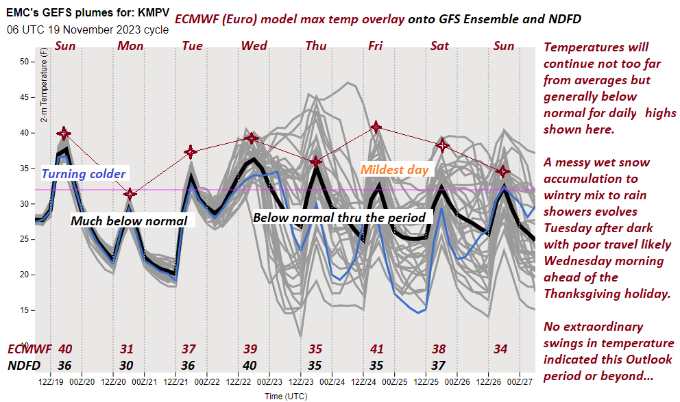
Looking further ahead
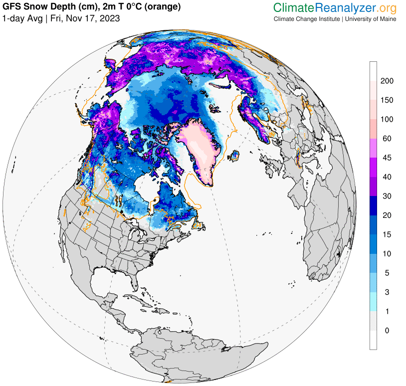
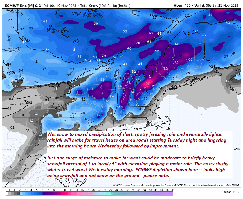
TUESDAY NIGHT: Overcast & blustery at time. Periods of accumulating wet snow developing…moderate at times with an inch or two western areas…to locally 4 inches southern and eastern areas…before mixing with sleet and pockets of freezing rain. Watch for poor travel conditions. A low ranging from the upper 20s to near 32 degrees western areas.
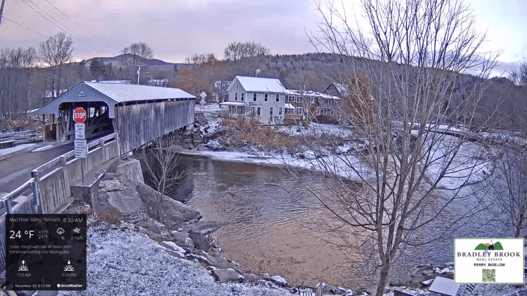
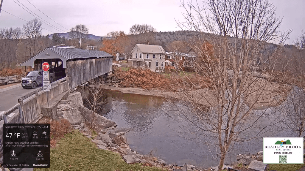
WEDNESDAY: Mixed precipitation with slushy/icy travel early…transitioning to light rain showers. Otherwise mainly gray. A high in the mid to upper 30s.
THURSDAY THANKSGIVING DAY: Morning cloudiness, then increasing afternoon sunshine. A low near 32 degrees. A high 35 to 40.
FRIDAY: Some morning clouds with scattered flurries, then periods of afternoon sunshine. A low 25 to 30. A high in the low 30s.
Average lows in the 20s. Average highs upper 30s to mid-40s
RH/11-20forecast][end]