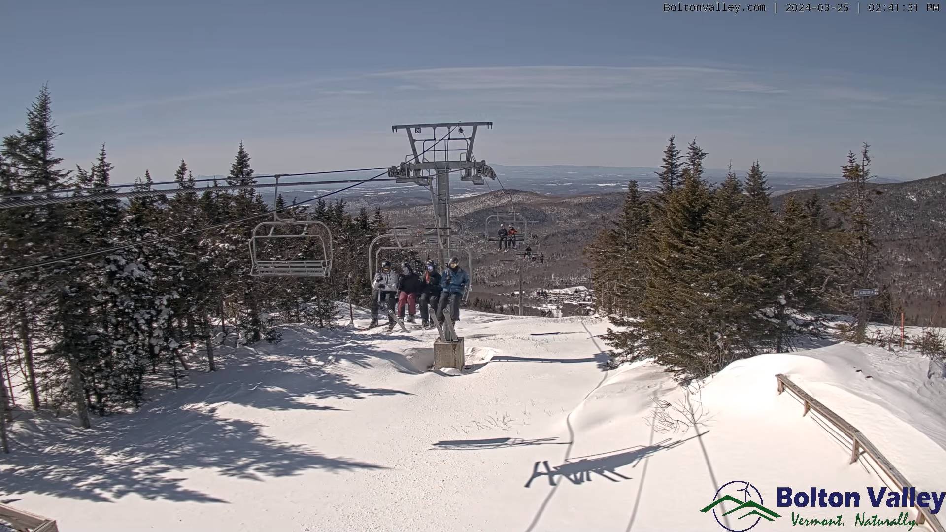
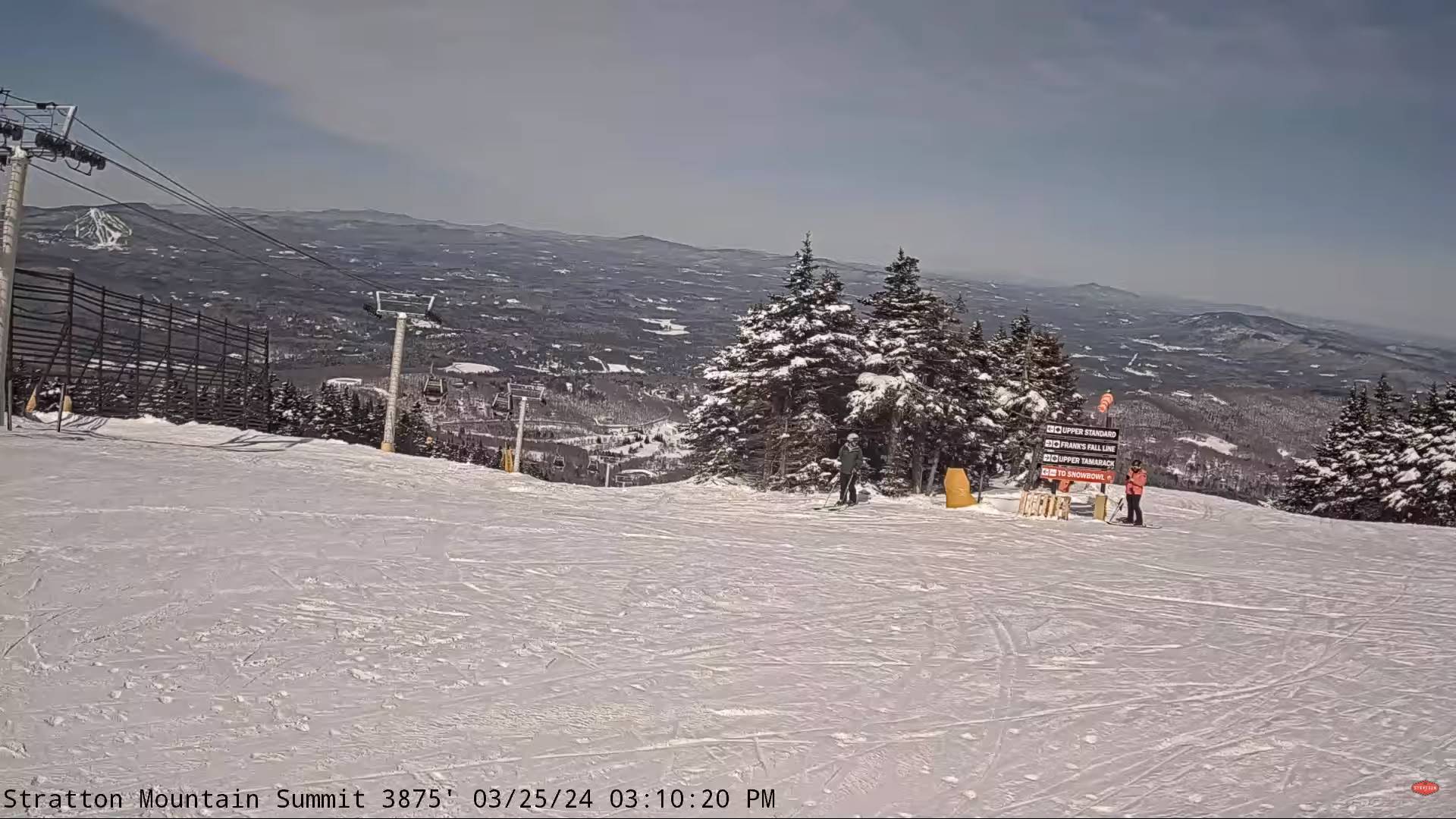
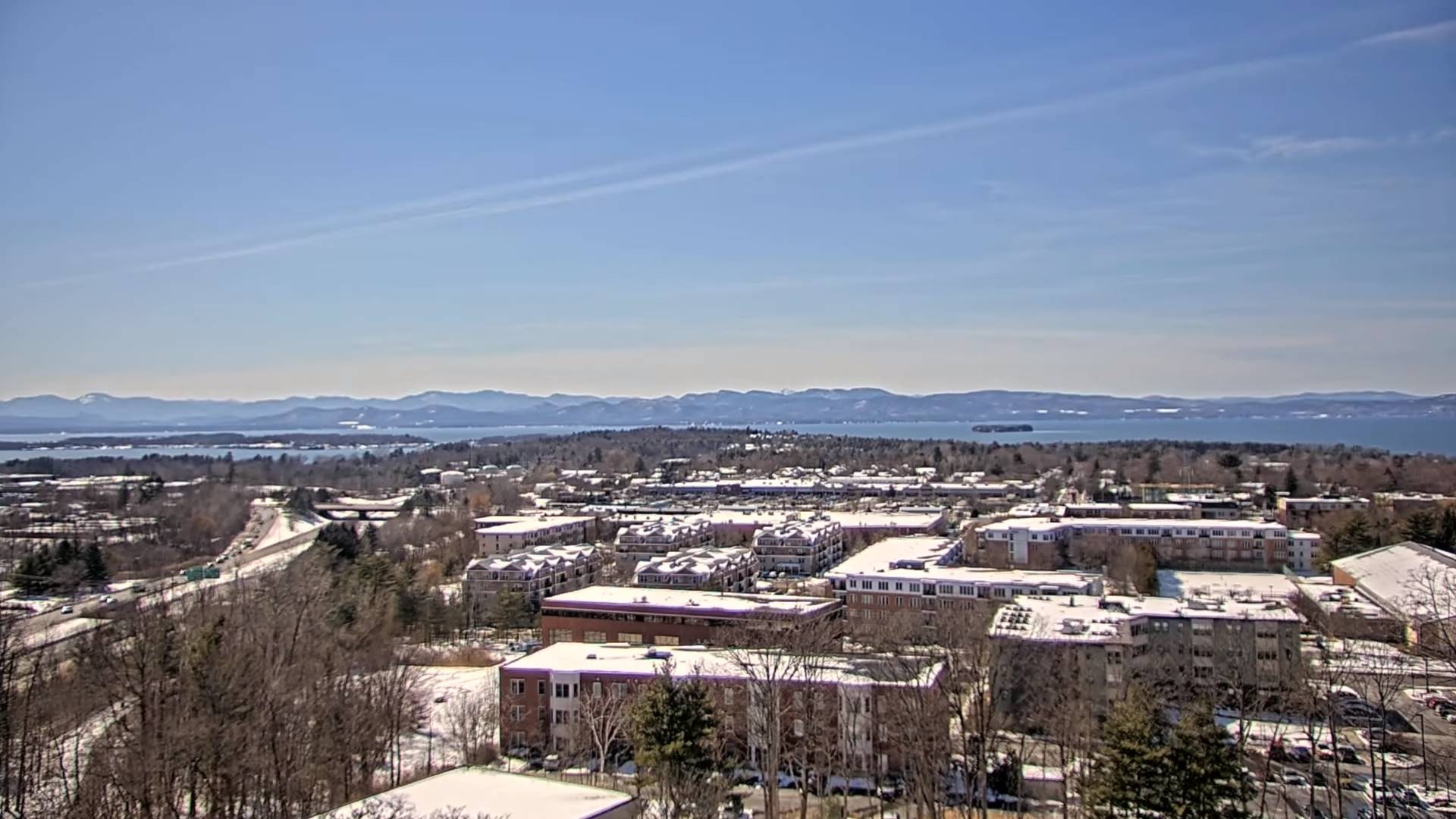
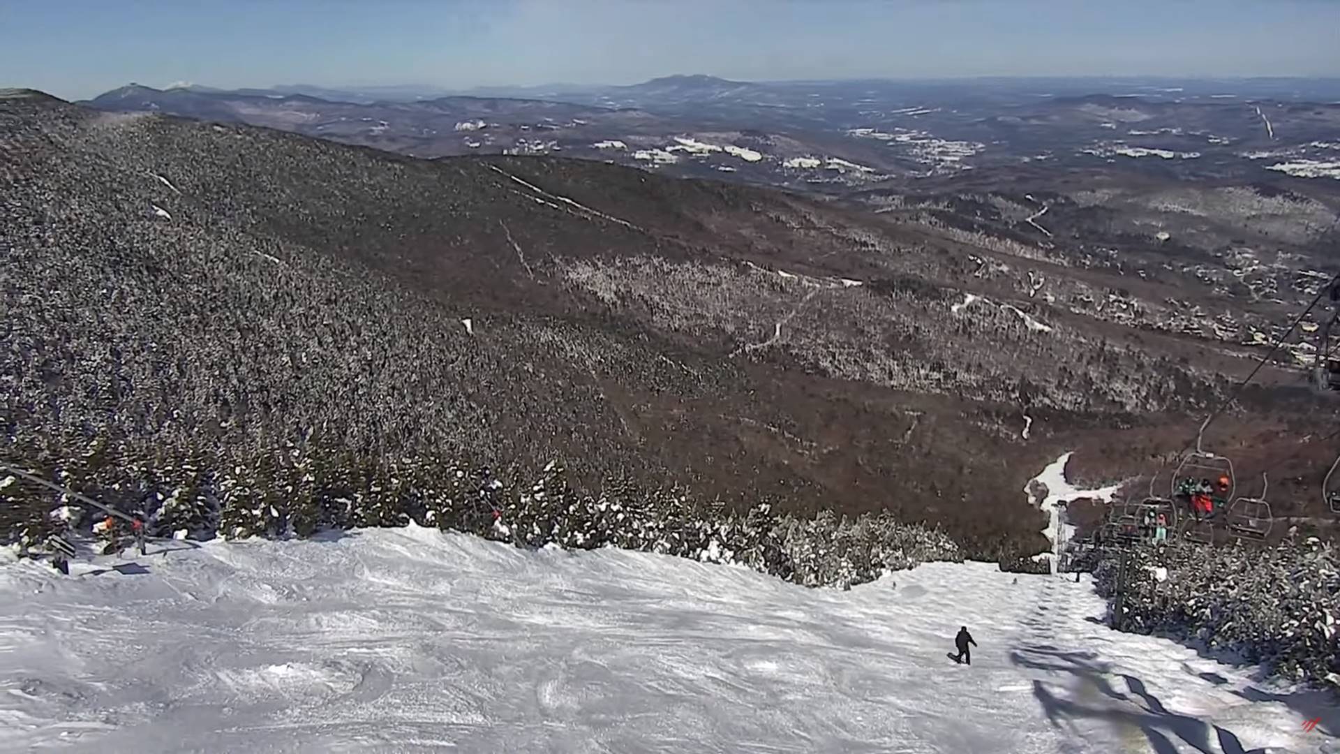
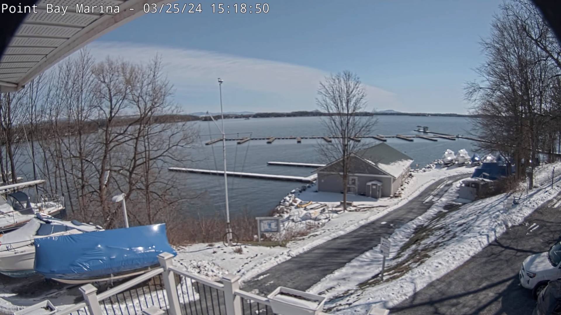
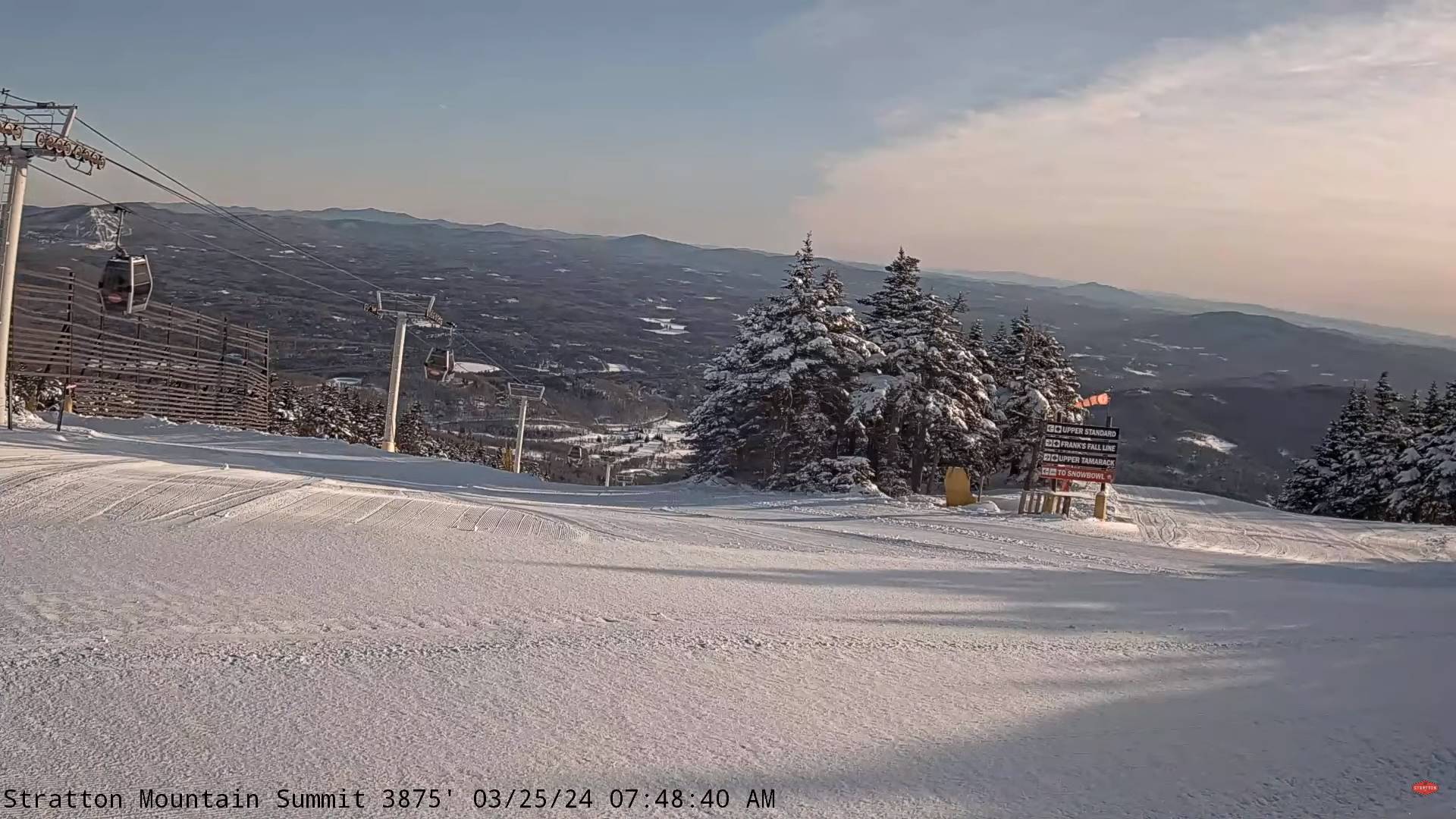
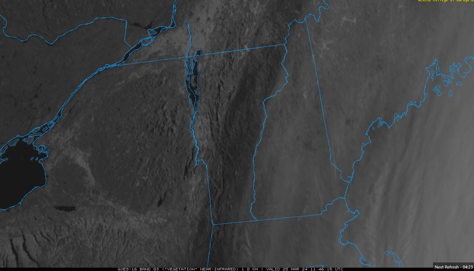
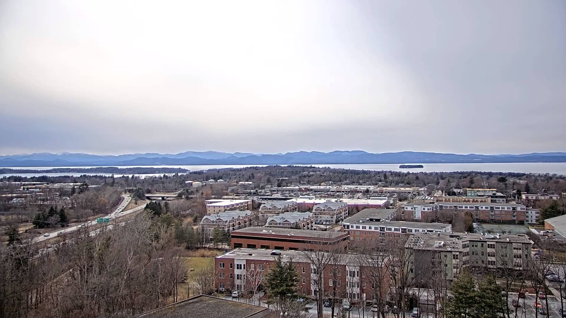
Interesting “cap clouds” on the mountain peaks show classic down-sloping flow. Low level moisture in the process working across Vermont from the southeast. Brief sunshine northwestern Vermont to be overtaken by cloud cover.

TONIGHT: Mostly clear. A low 15 to 20. Light southeast winds.
TOMORROW: Morning sunshine then increasing clouds. A high about 45. Light southeast winds.
TUESDAY NIGHT: Cloudy. A rising chance for rain showers. A low around 35. Light southeast winds.
WEDNESDAY: Mainly gray. Chance for occasional rain showers. A high mid to upper 40s. South top southeast winds 10 mph.
Looking further ahead
WEDNESDAY NIGHT: Overcast.A few isolated sprinkles. A low mid to upper 30s.
THURSDAY: Lots of clouds. Chance for a shower, far southeast Vermont. A high in the mid-40s.
FRIDAY: Filtered sunshine with high cloudiness. A low 30 to 32 degrees. A high around 40.
SATURDAY: Considerable cloudiness with breaks of afternoon sun. A low upper 20s. A high around 35.
SUNDAY: Sunshine filtered thru high cloudiness. A low 20 to 25. A high in the low to mid 40s.
Average lows low to mid-20s. Average highs mid to upper 40s
Total Solar Eclipse April 8th 3:25 PM EDT
End or meteorological winter was March 9th Start of meteorological summer June 6th
RH/3-25forecast][end]

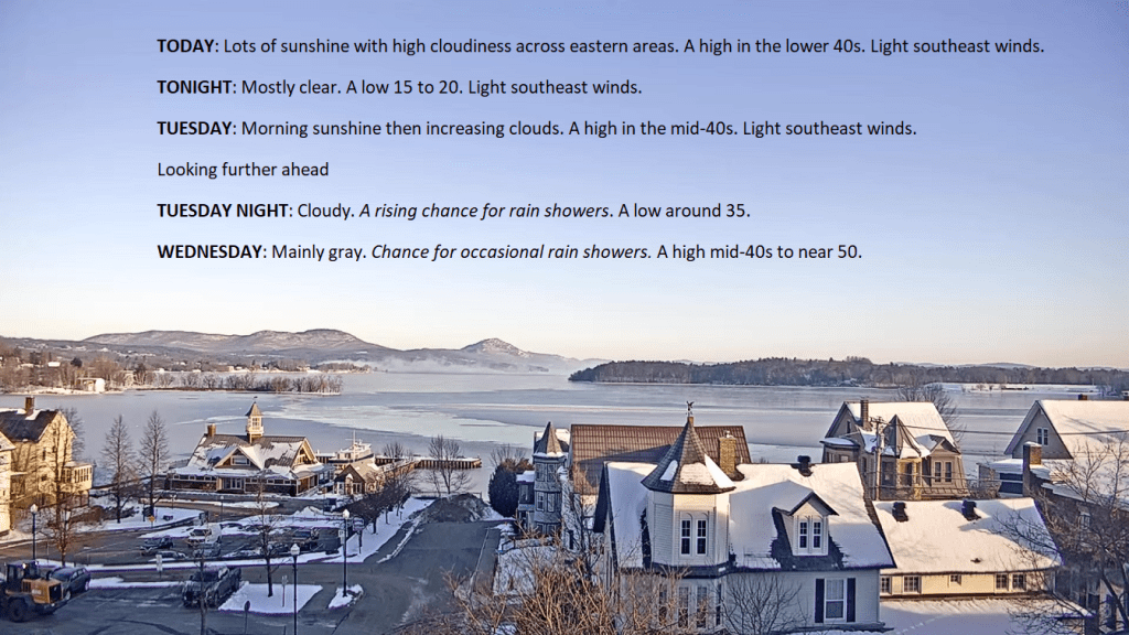
TODAY: Lots of sunshine with high cloudiness across eastern areas. A high in the lower 40s. Light southeast winds.
TONIGHT: Mostly clear. A low 15 to 20. Light southeast winds.
TUESDAY: Morning sunshine then increasing clouds. A high in the mid-40s. Light southeast winds.

Looking further ahead
TUESDAY NIGHT: Cloudy. A rising chance for rain showers. A low around 35.
WEDNESDAY: Mainly gray. Chance for occasional rain showers. A high mid-40s to near 50.

THURSDAY: Lots of clouds. A low in the mid-30s. A high in the mid-40s.
FRIDAY: Filtered sunshine with high cloudiness. A low around 32 degrees. A high 40 to 45.
Average lows low to mid-20s. Average highs mid to upper 40s
Total Solar Eclipse April 8th 3:25 PM EDT
End or meteorological winter was March 9th Start of meteorological summer June 6th
RH/3-25forecast][end]

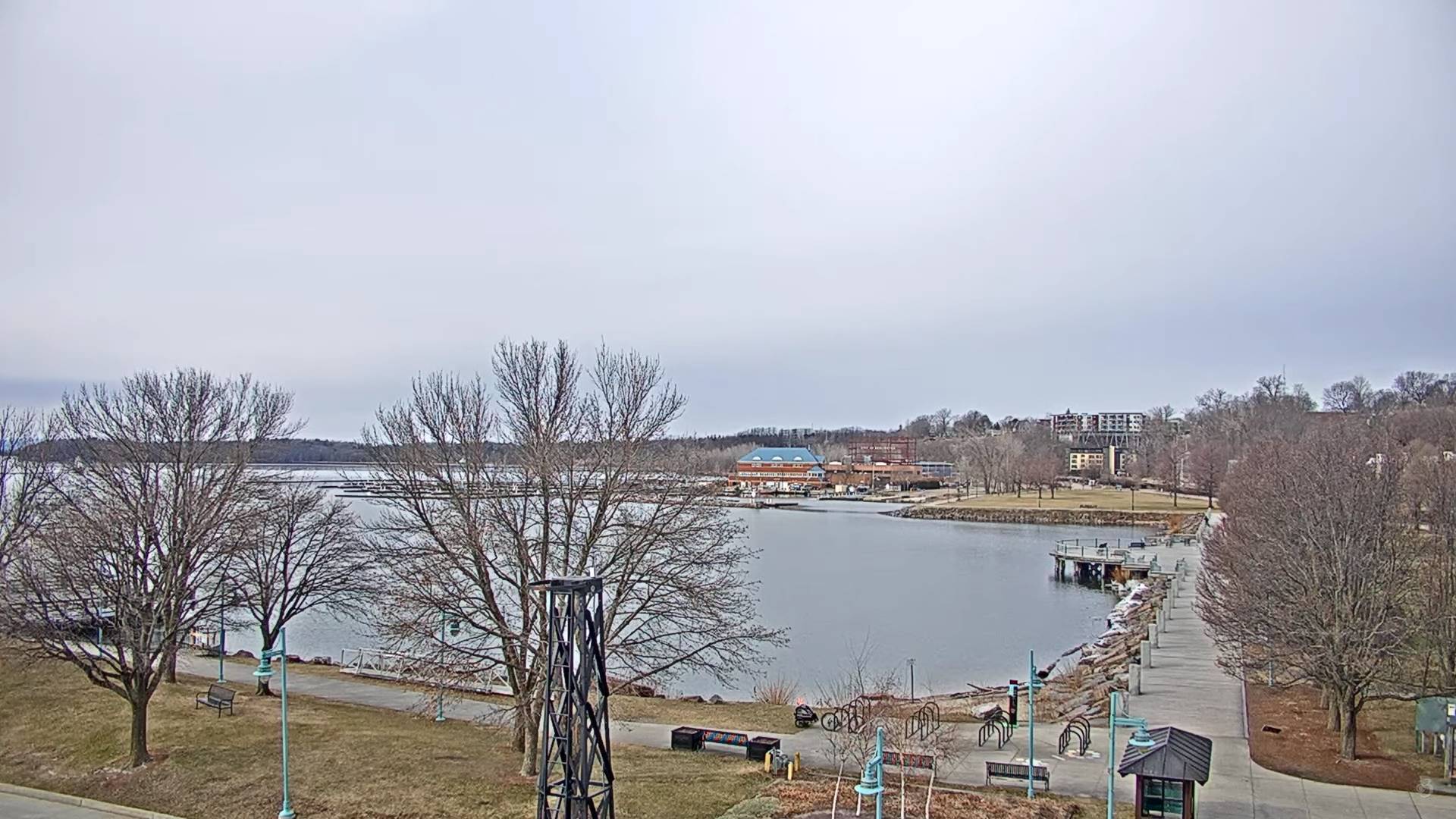
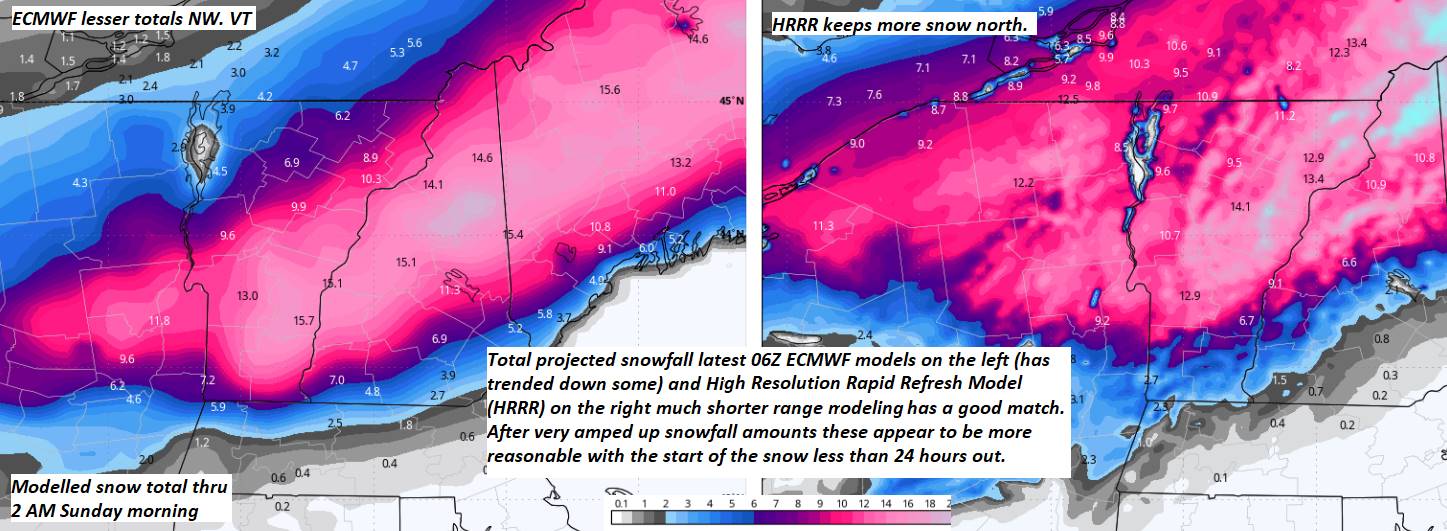
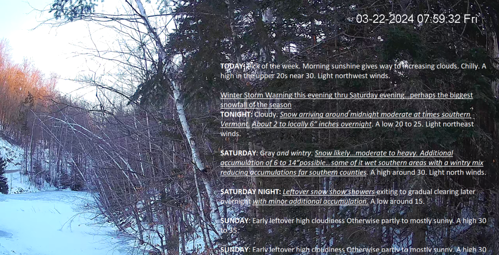
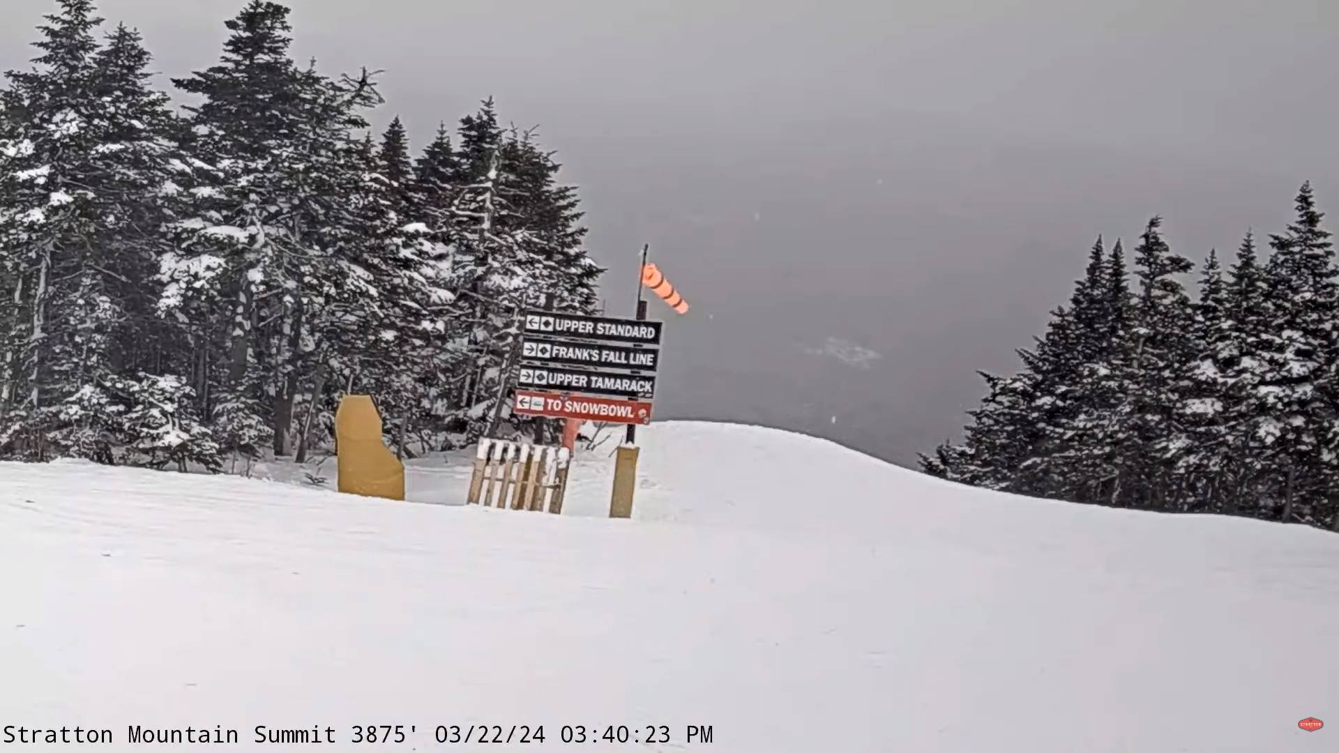
Winter Storm Warning this evening thru Saturday evening…bigger snowfalls of the season
TONIGHT: Cloudy. Snow arriving later this evening or around midnight…moderate to heavy at times southern Vermont. About 1 to locally 6” inches overnight most in southern areas. A low around 20. Light east winds.
TOMORROW: Gray and wintry. Snow likely…moderate to heavy. Additional accumulation of 5 to 12” …some of it wet Rutland Windsor counties with a wintry mix or rain further south cutting down accumulations there. A high about 30. Light east to northeast winds.
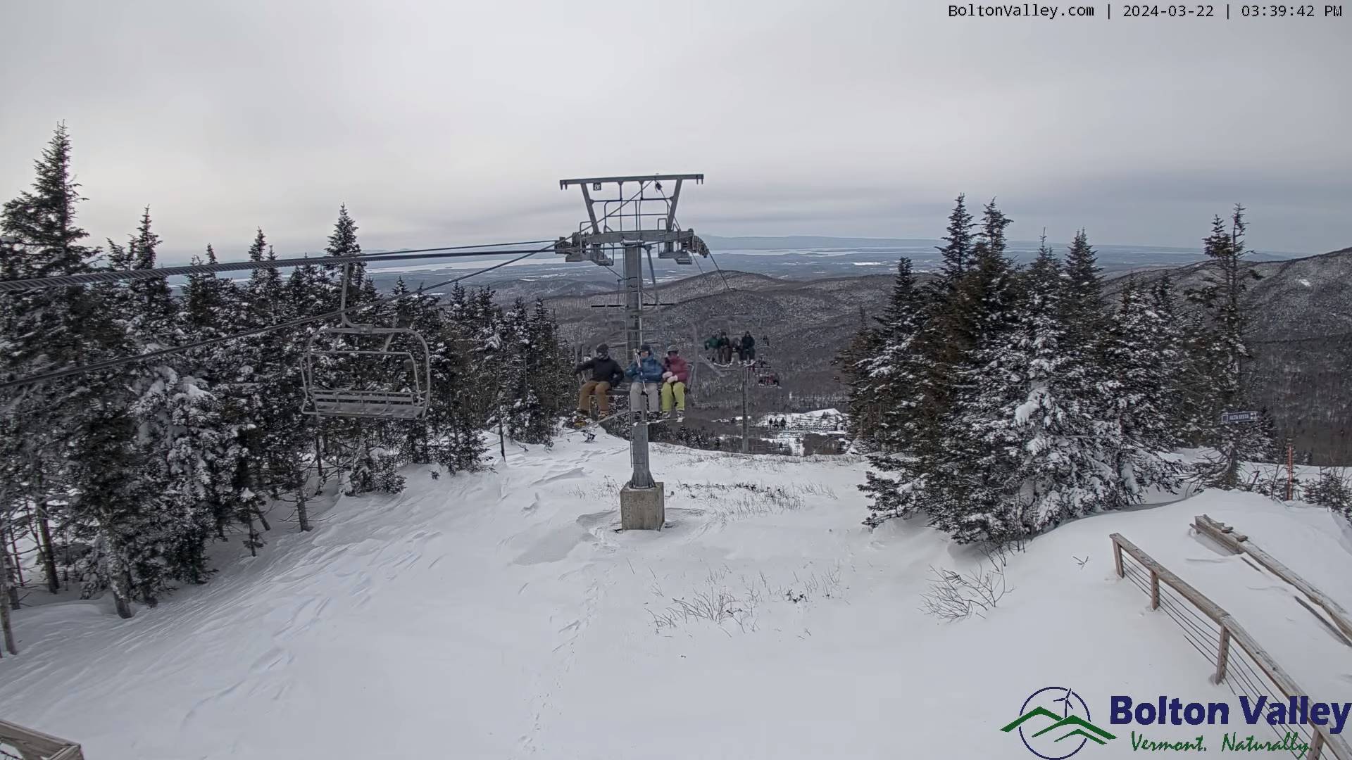
SATURDAY NIGHT: Leftover snow or snow showers with minor additional accumulation exits. Gradual clearing later overnight.A low around 15. Northwest winds 10 to 15 mph.
SUNDAY: High cloudiness eastern areas, other bright sun and blue skies. A high 30 to 35. A light northwest wind.
Looking further ahead
Full Worm moon…3:00 AM Monday morning
SUNDAY NIGHT: Mostly clear & fully moonlit. A low in the single digits to low teens.
MONDAY: Lots of sunshine with a few high clouds. A high 40 to 45.
TUESDAY: Morning sun, then mostly cloudy. A low ranging 5 to 15. A high 40 to 45.
WEDNESDAY: Mainly gray. Rising chance for rain showers. A low near 35. A high around 45.
Average lows upper-teens to mid-20s. Average highs low to mid 40s
Total Solar Eclipse April 8th 3:25 PM EDT
End or meteorological winter was March 9th Start of meteorological summer June 6th
RH/3-20forecast][end]