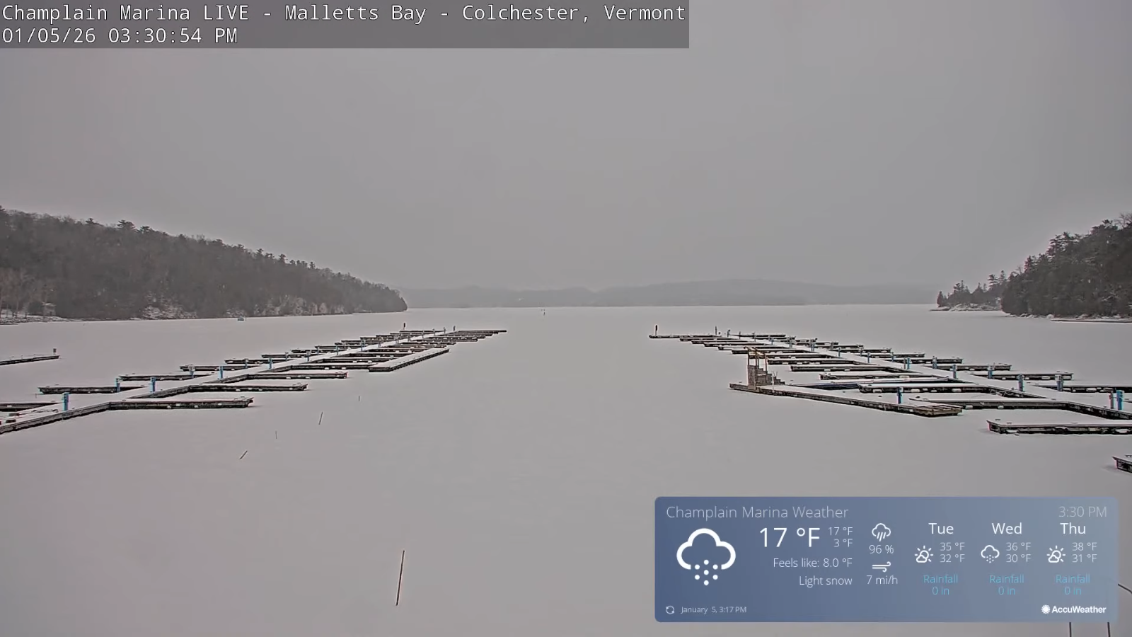
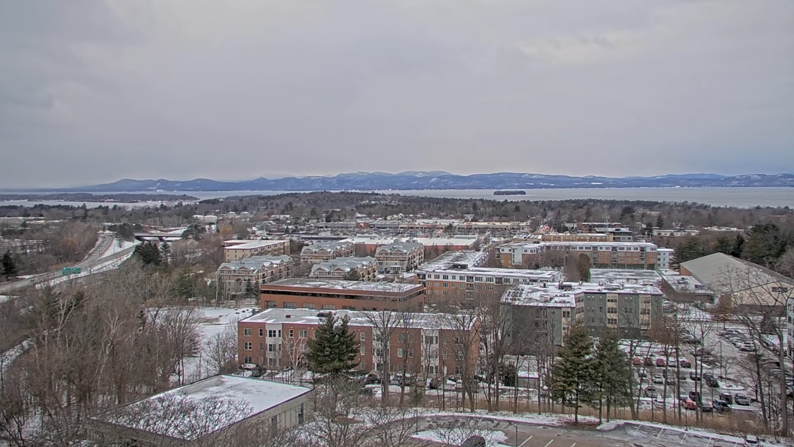
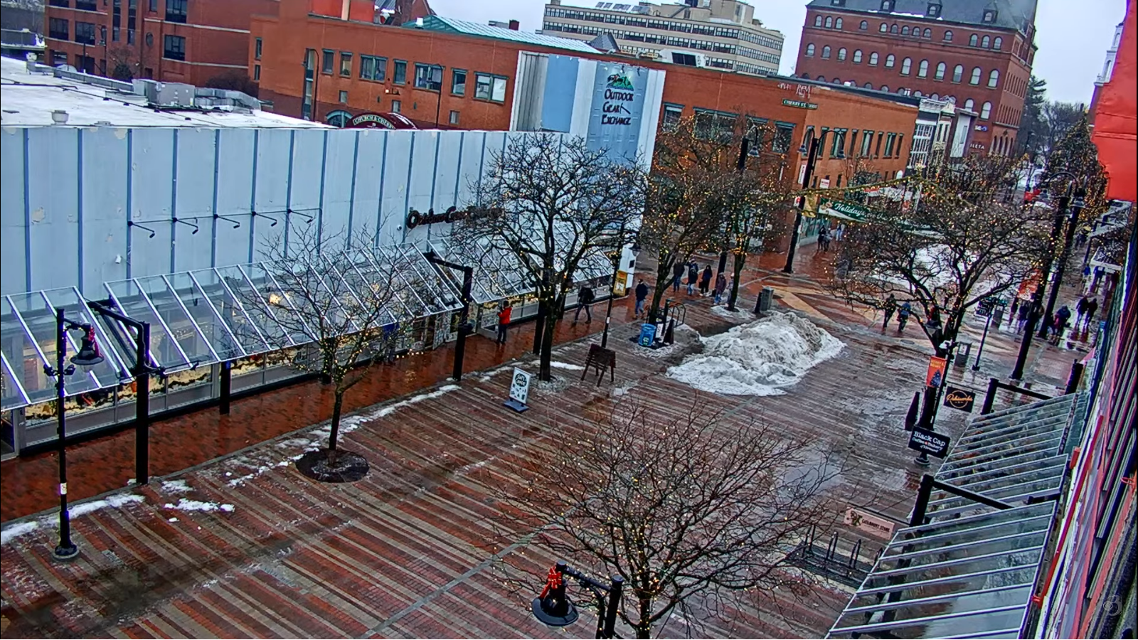
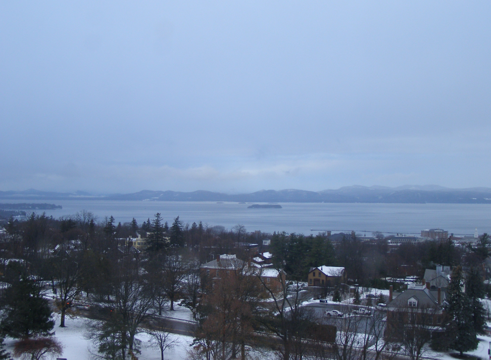
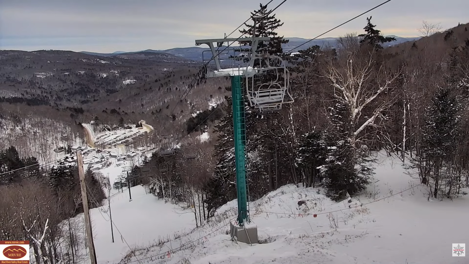
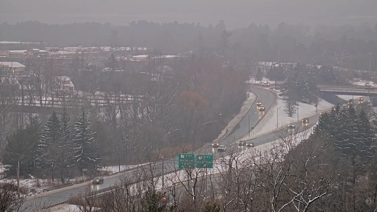
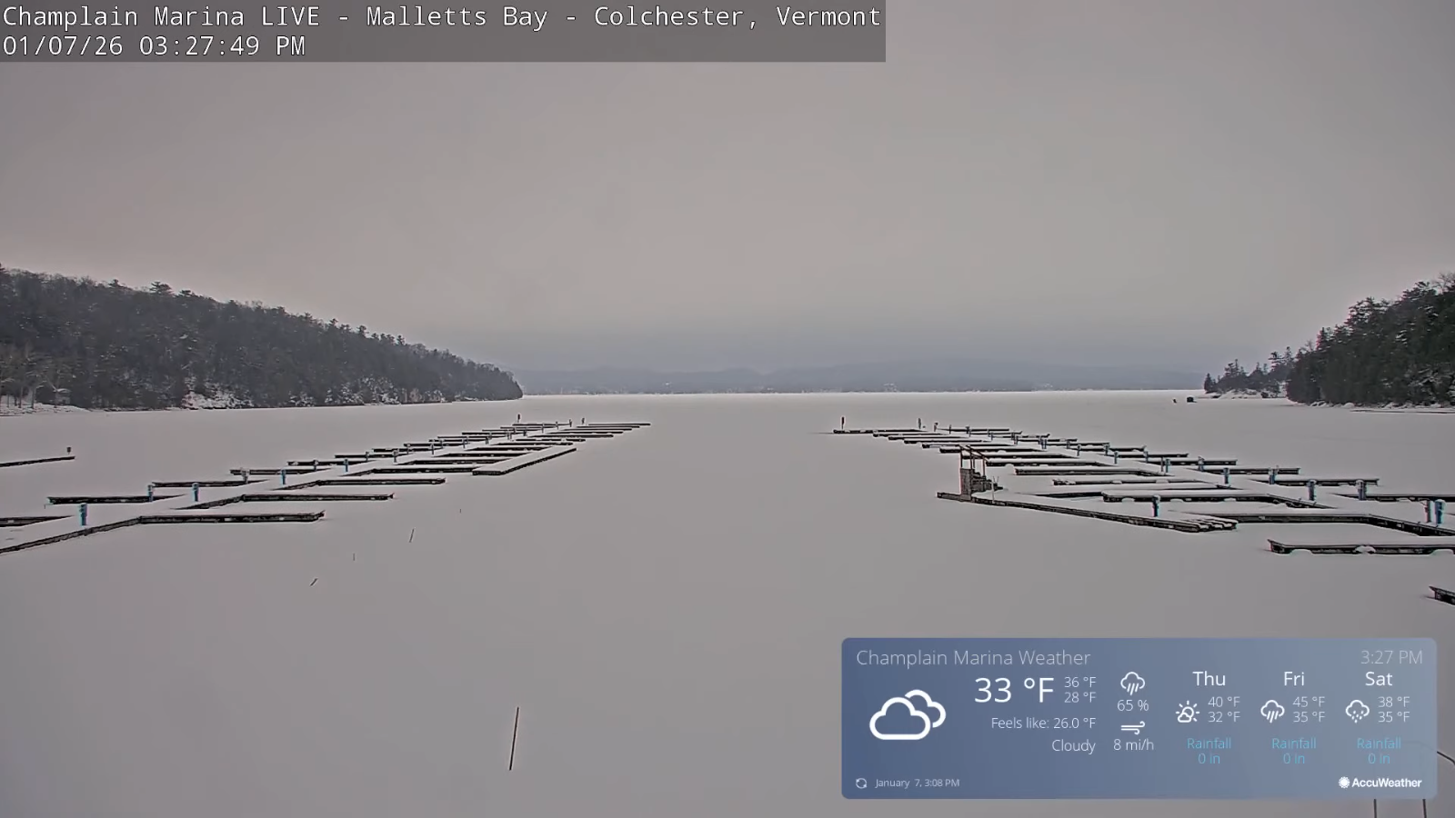
Roger Hill’s Radio Vermont Forecast 3:00 PM WEDNESDAY 1-7-26
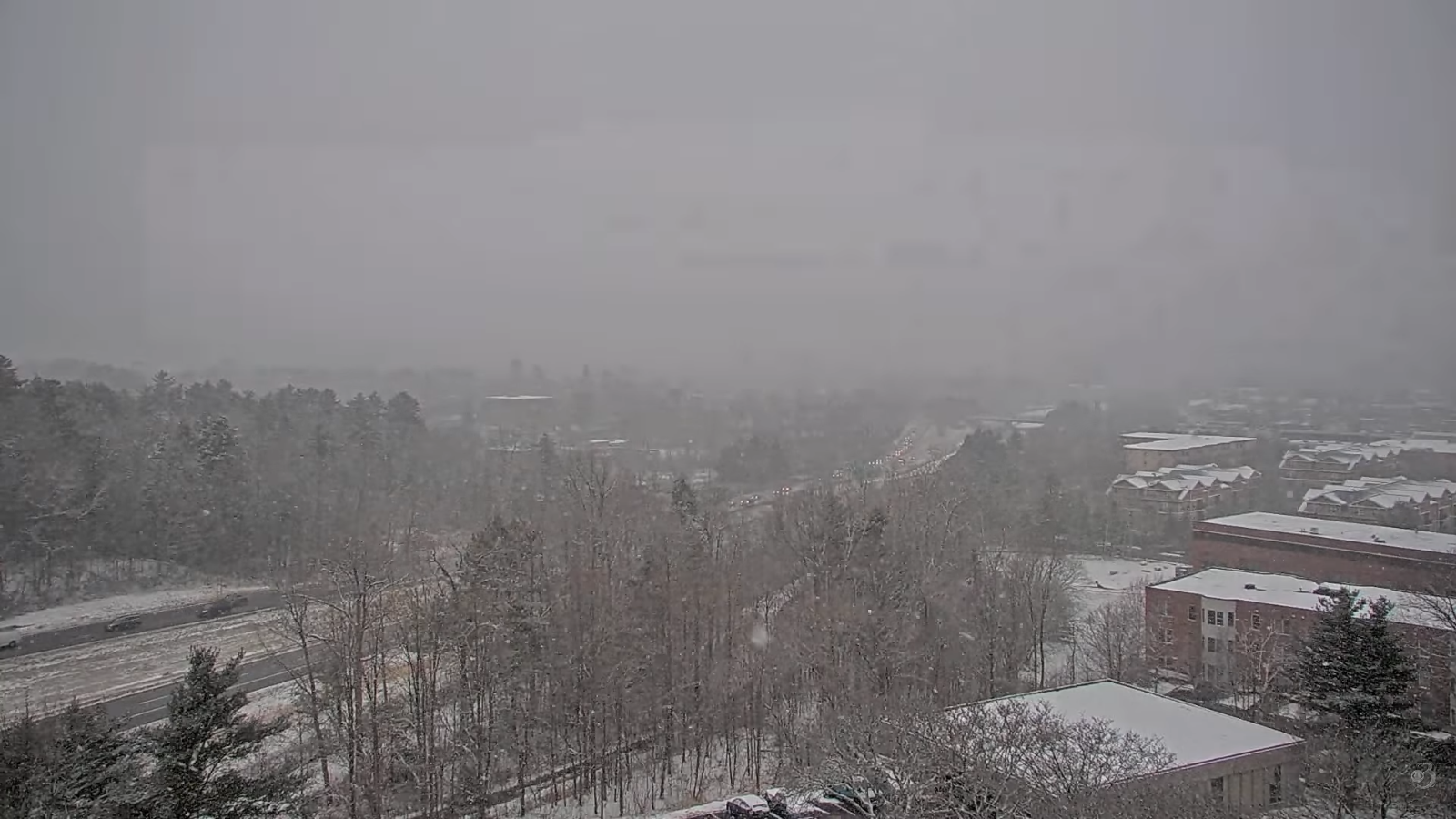
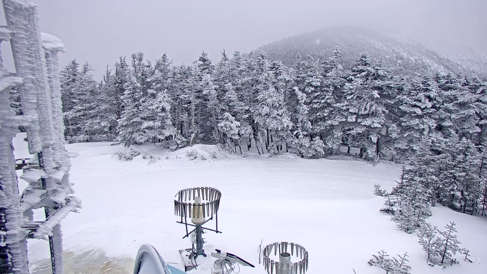
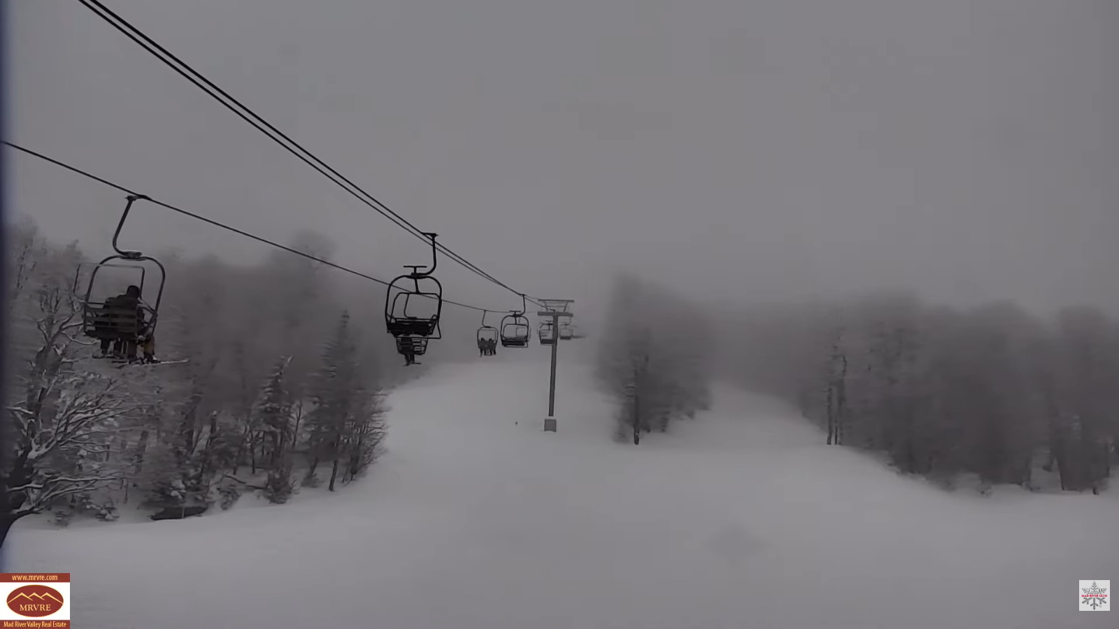
TONIGHT: A couple evening flurries, otherwise cloudy. A low around 25. Light northwest winds.
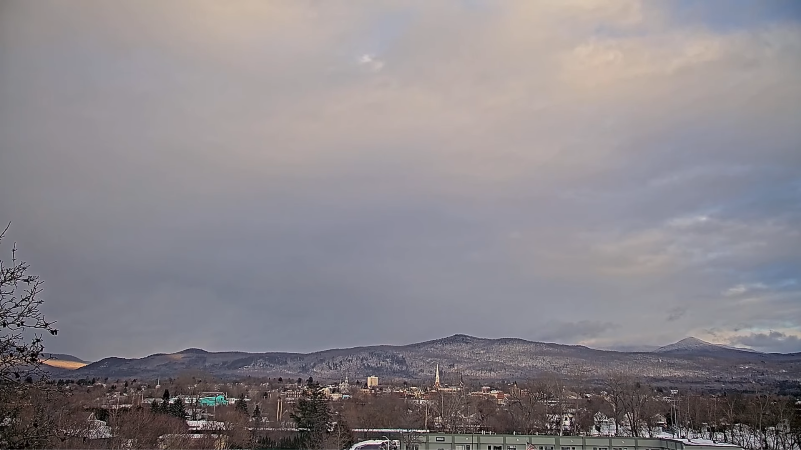
TOMORROW: Morning clouds, gives way to partial afternoon sunshine. A high around 35. West to northwest winds 10 mph.
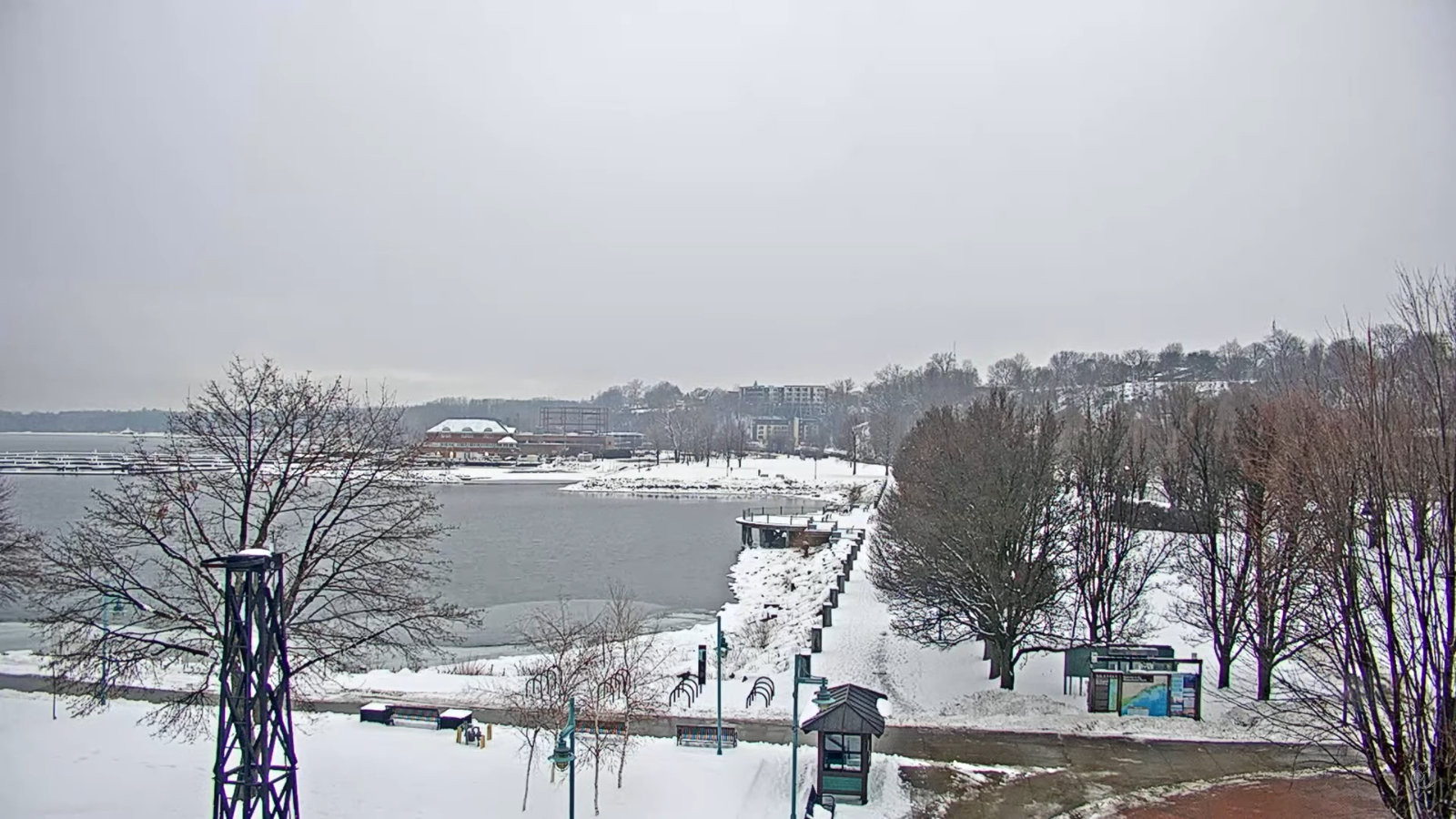
THURSDAY NIGHT: High clouds thickening up overnight. A low upper teen’s/low 20s. Light southeast winds breezier Champlain Valley.
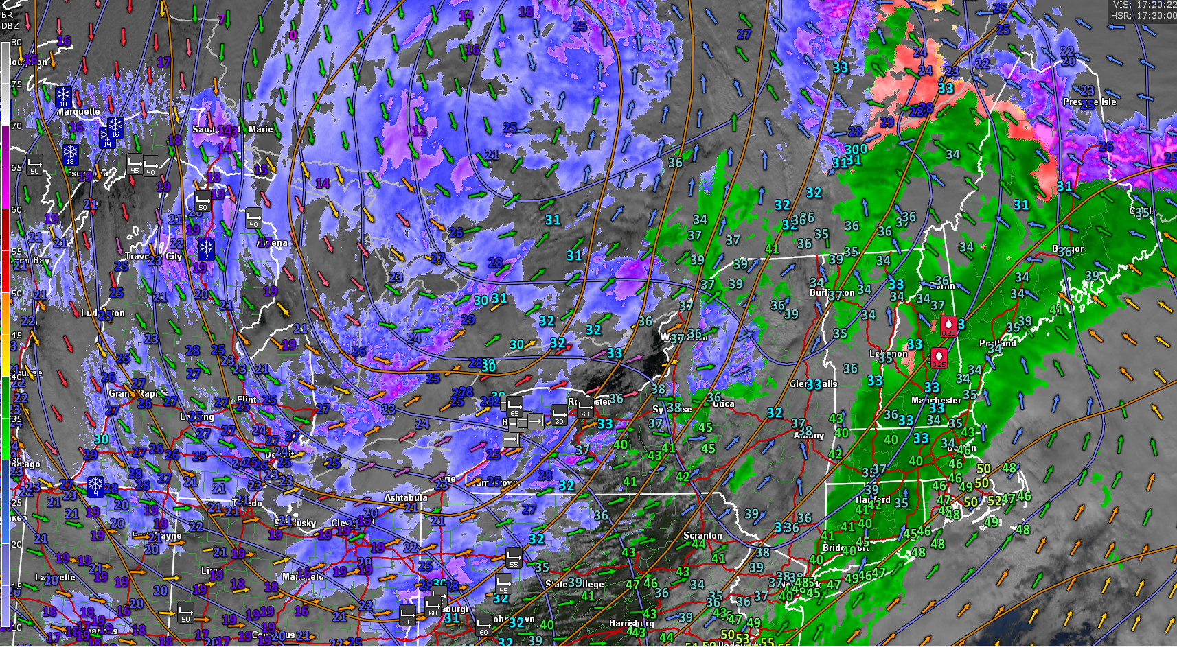
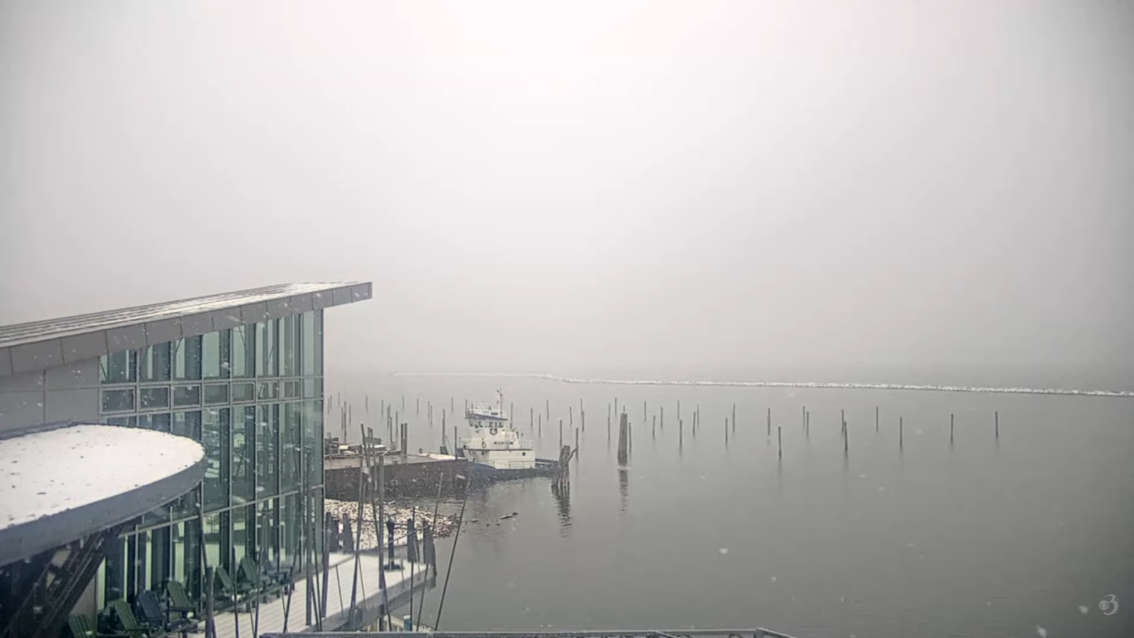
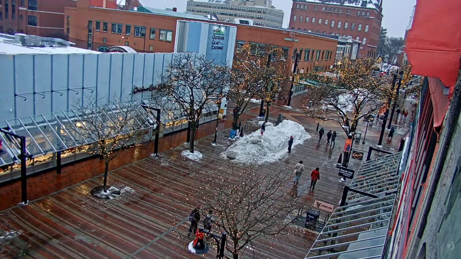
FRIDAY: Gray. Light rain showers becoming likely toward noon…with a possible wintry mix at onset. A late day high reaching near 40. South winds pick up 10 to 15 mph.
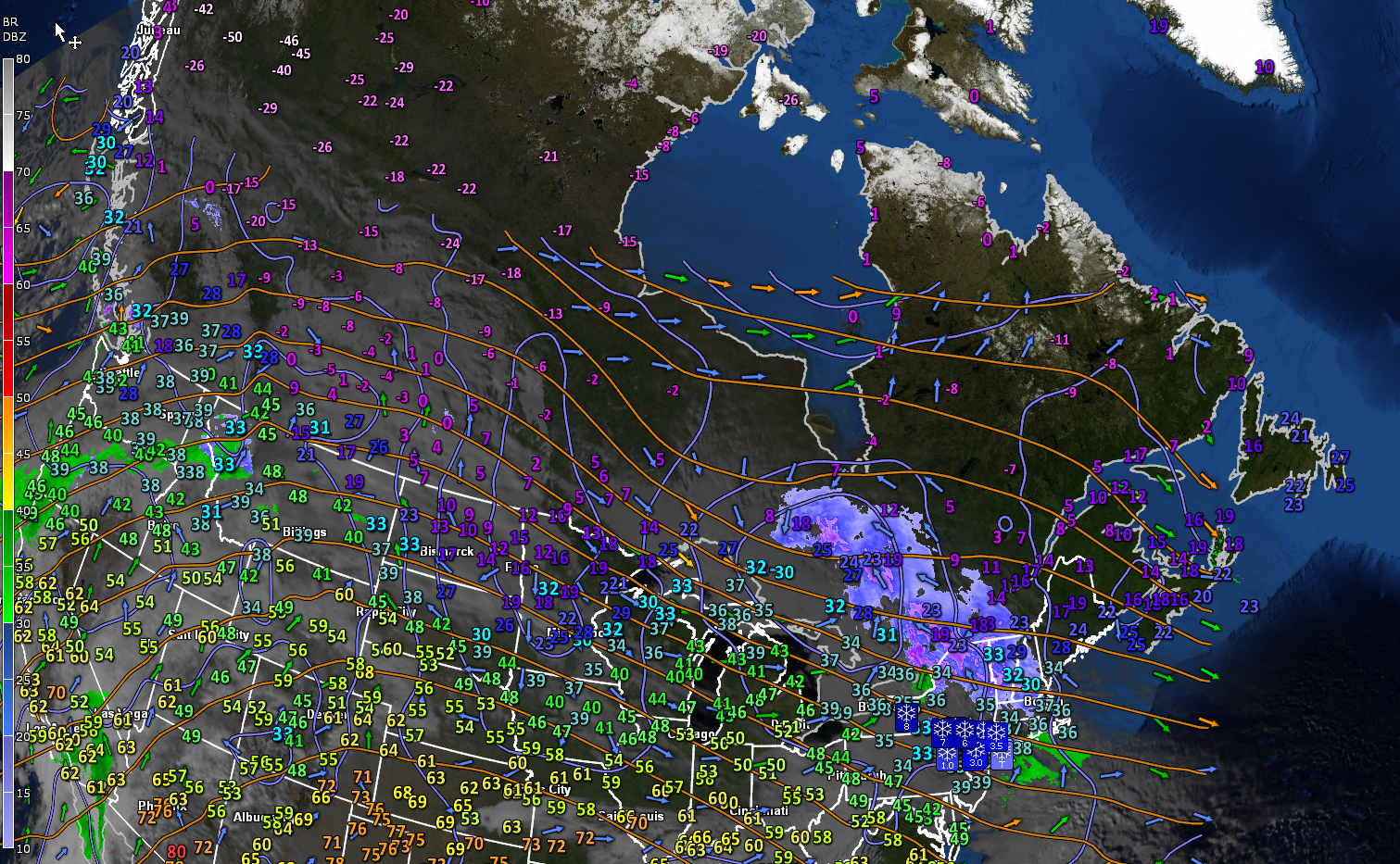
Looking further ahead
FRIDAY NIGHT: Overcast. Occasional spotty light rain/drizzle with freezing rain east of the Greens drying up overnight. Areas of fog. A low around 35.
SATURDAY: High cloudiness, thickening up in the afternoon. Rising chance for a wintry mix after dark. Temperatures in the mid to upper 30s.
SUNDAY: Chance for a morning “wintry mix” changing to scattered sprinkles. Intervals of afternoon sun. Lows 30 to 35. Highs upper 30s.
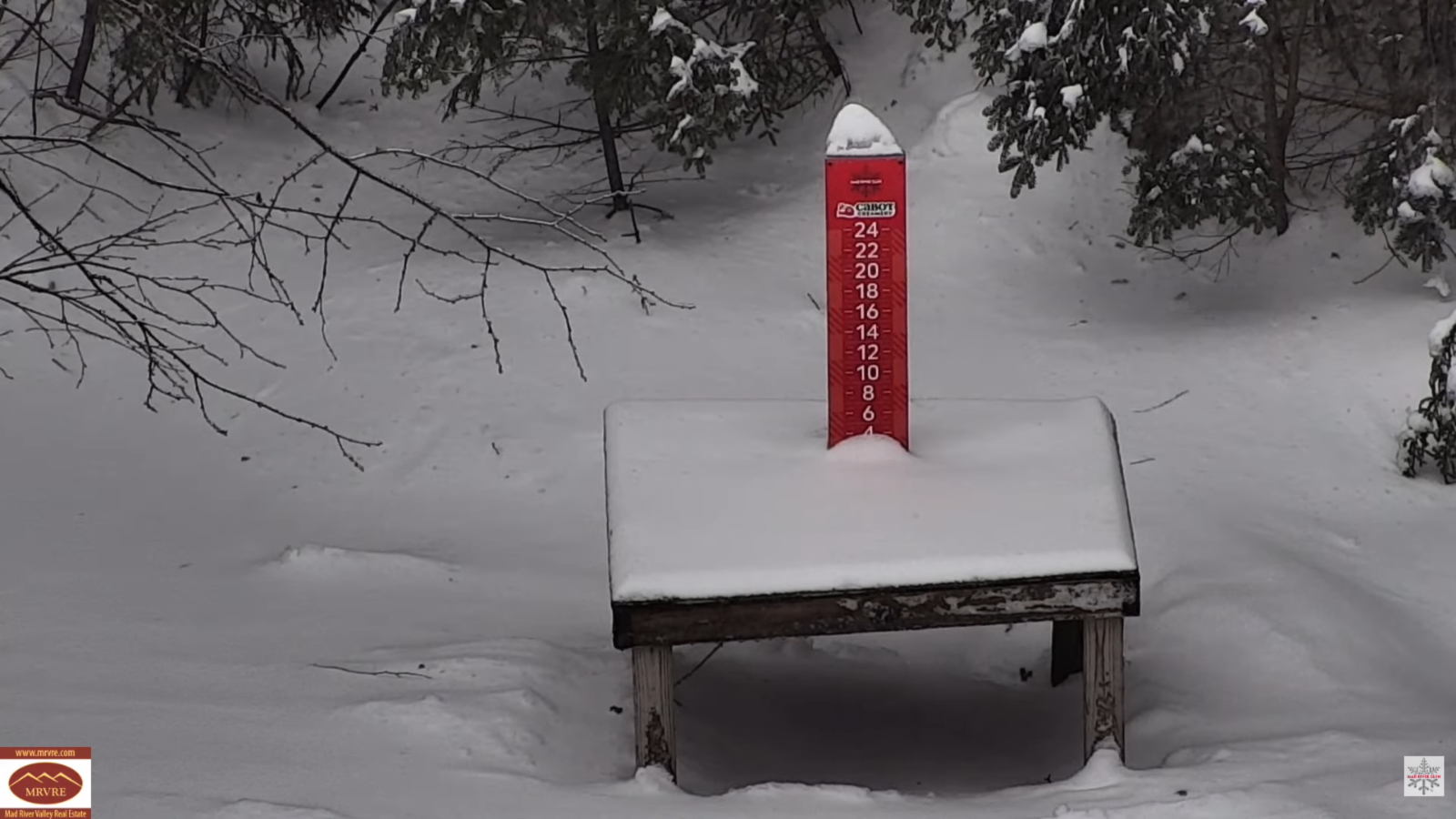
MONDAY: Clouds with afternoon sunny intervals. Scattered light snow showers or flurries early. Minor accumulation. Blustery. A low in the upper teens. Highs 25 to 30.
Average low: low single digits to lower teens. Average high mid to upper 20s.
Approximate peak of winter or halfway point – January 22nd
RH/1-7/forecast][end] Fox Trot Delta Tango