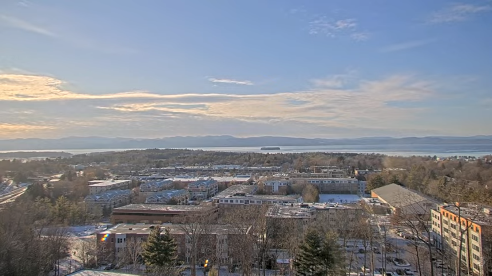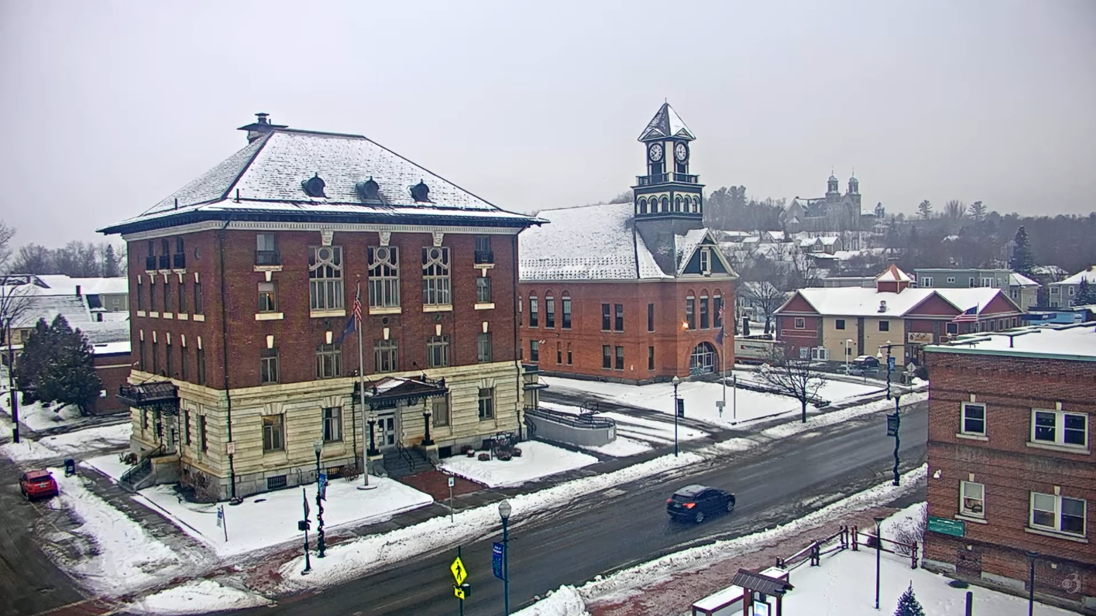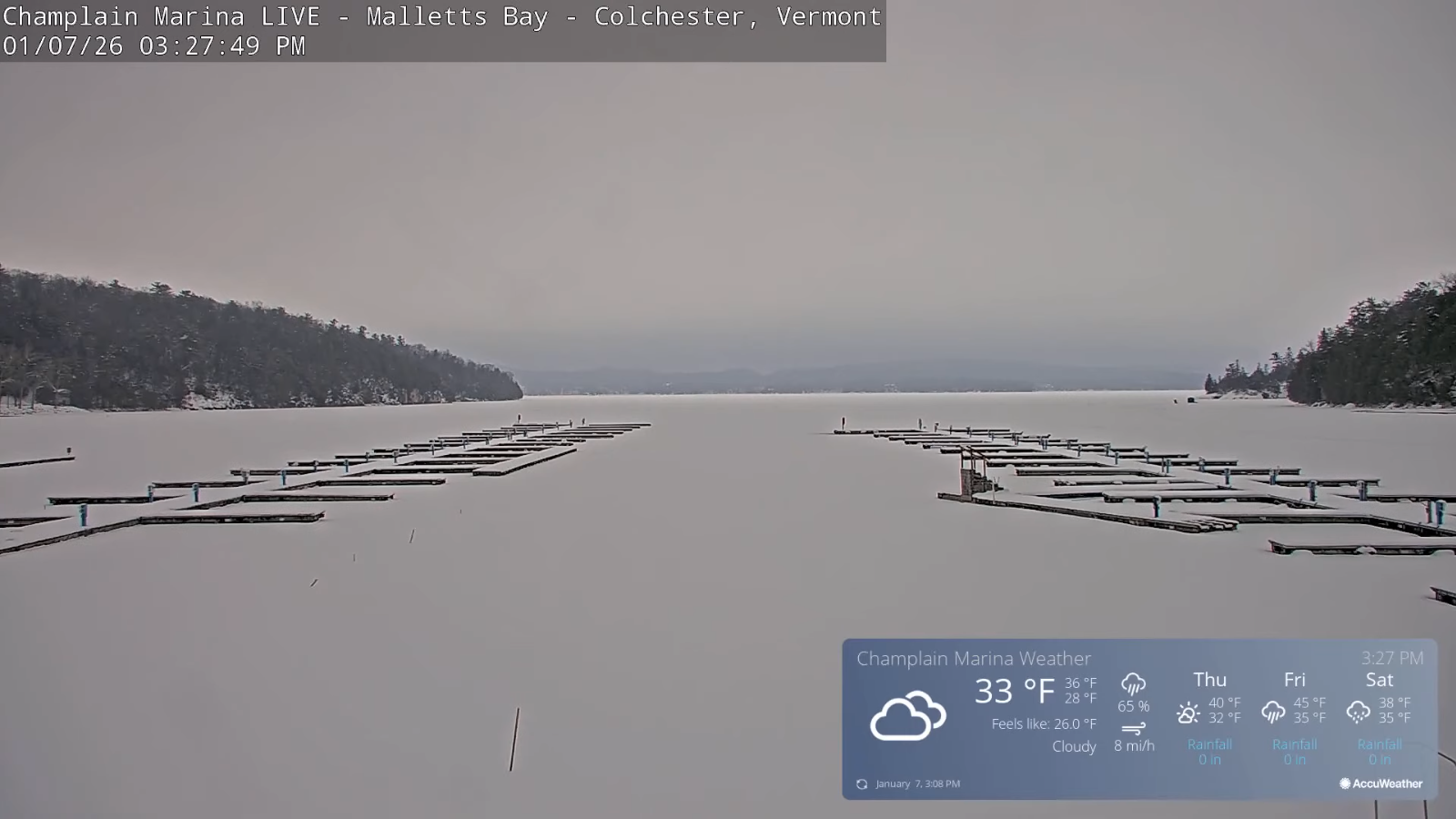
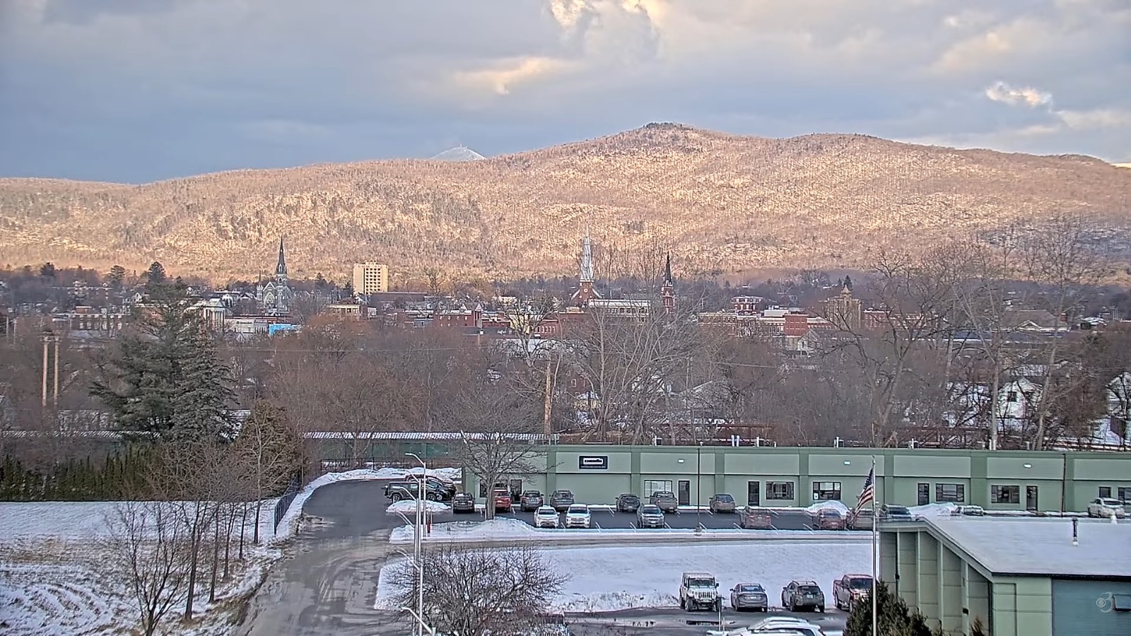
Roger Hill’s Radio Vermont Forecast 3:00 PM THURSDAY 1-22-26 Cor
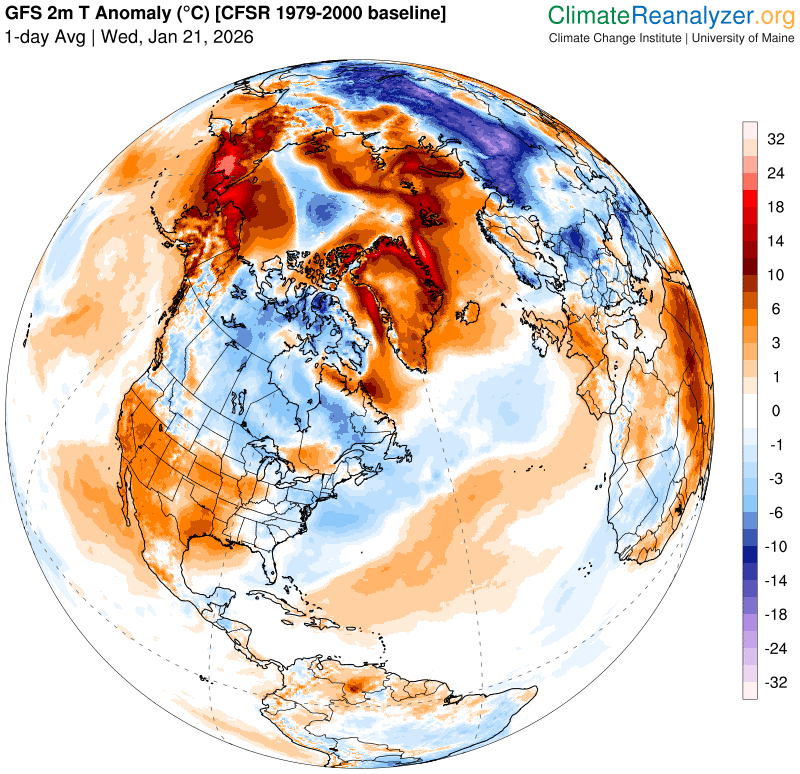
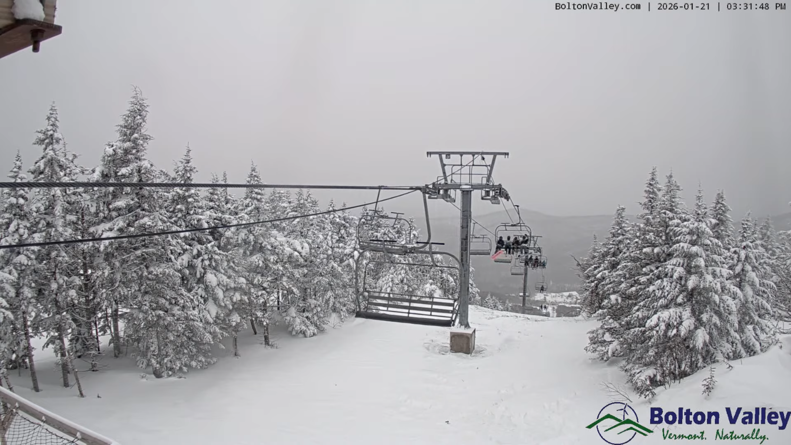
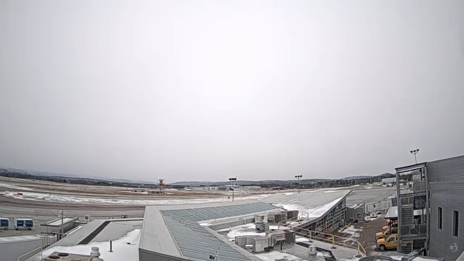
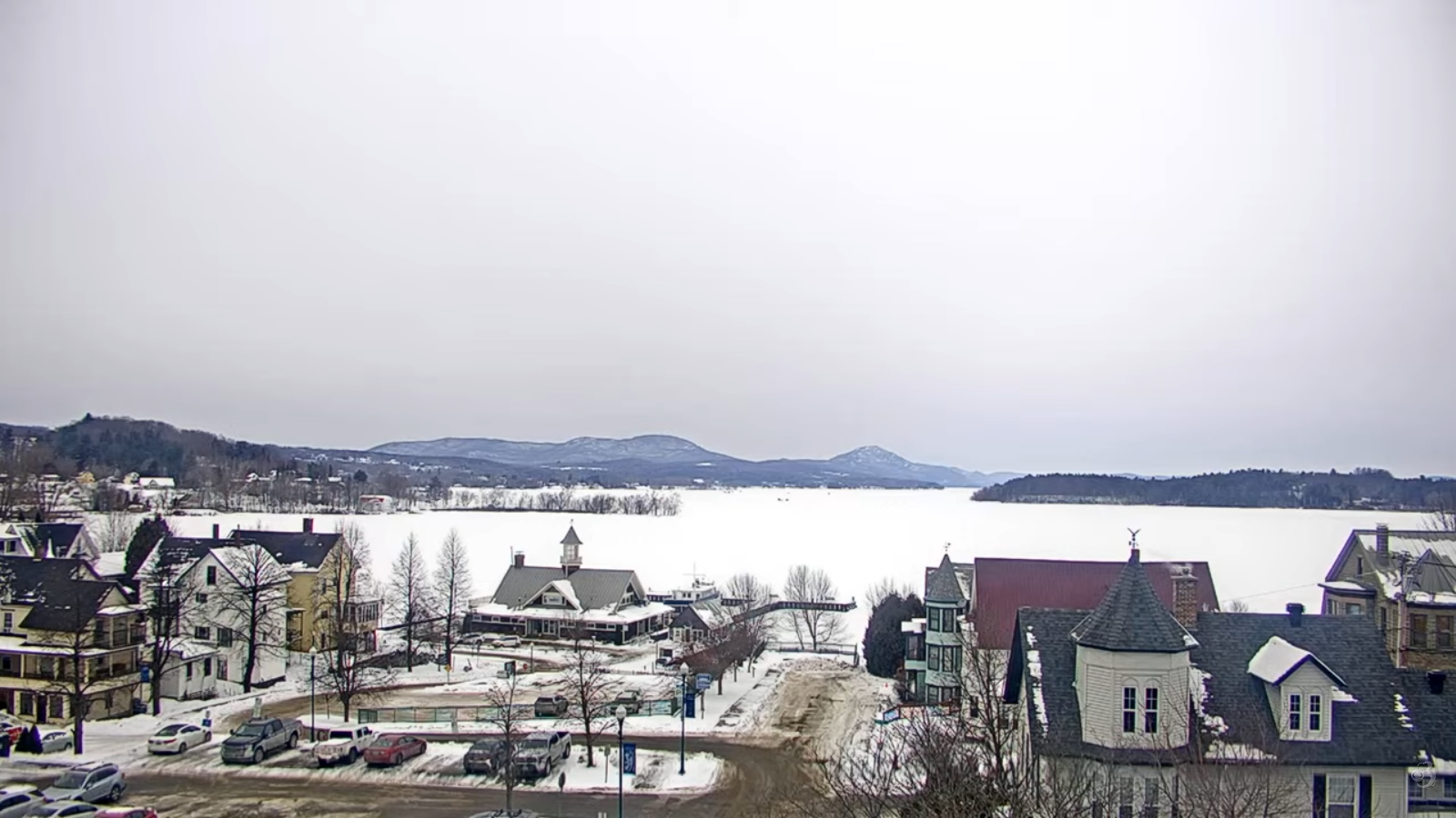
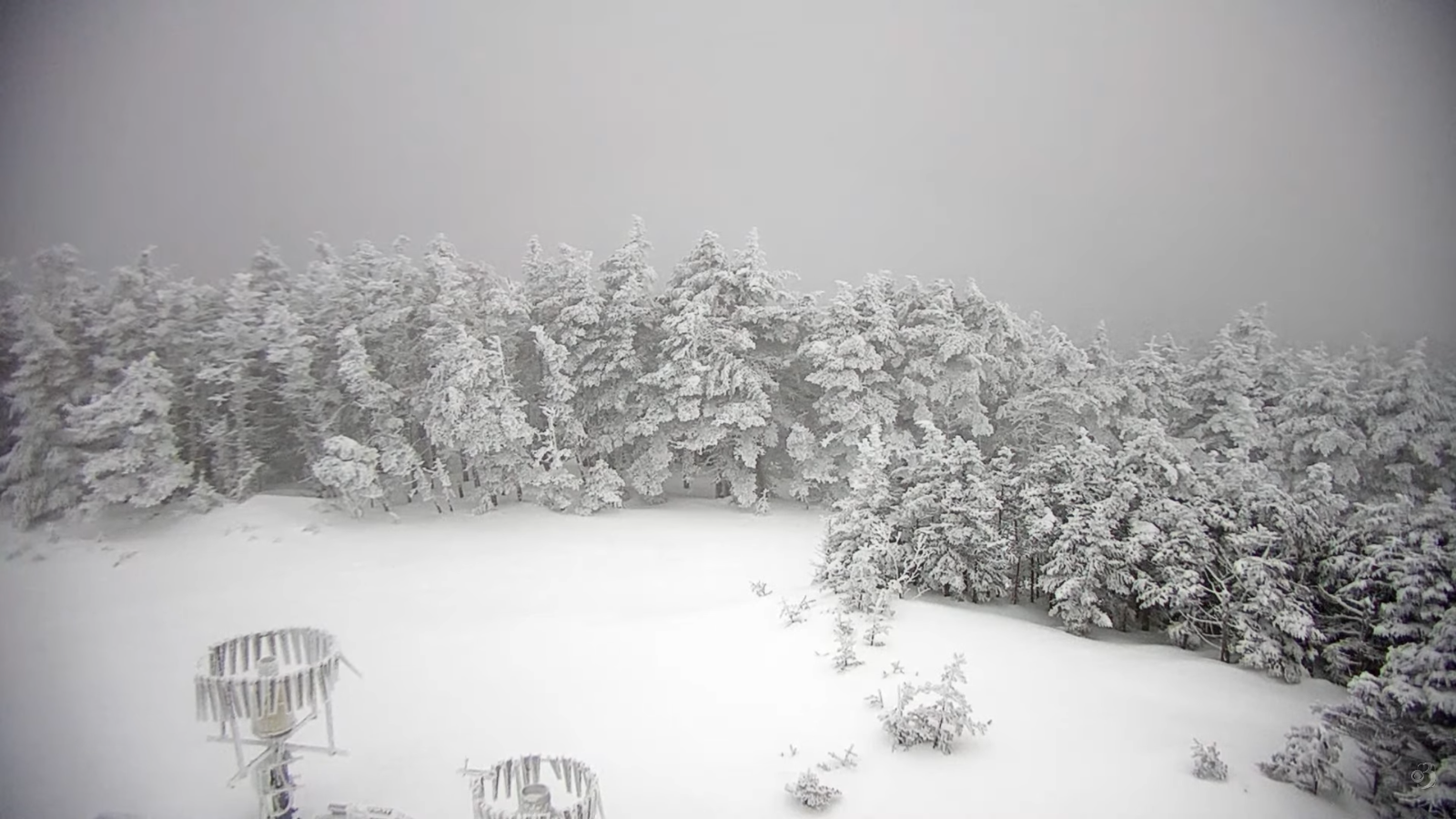
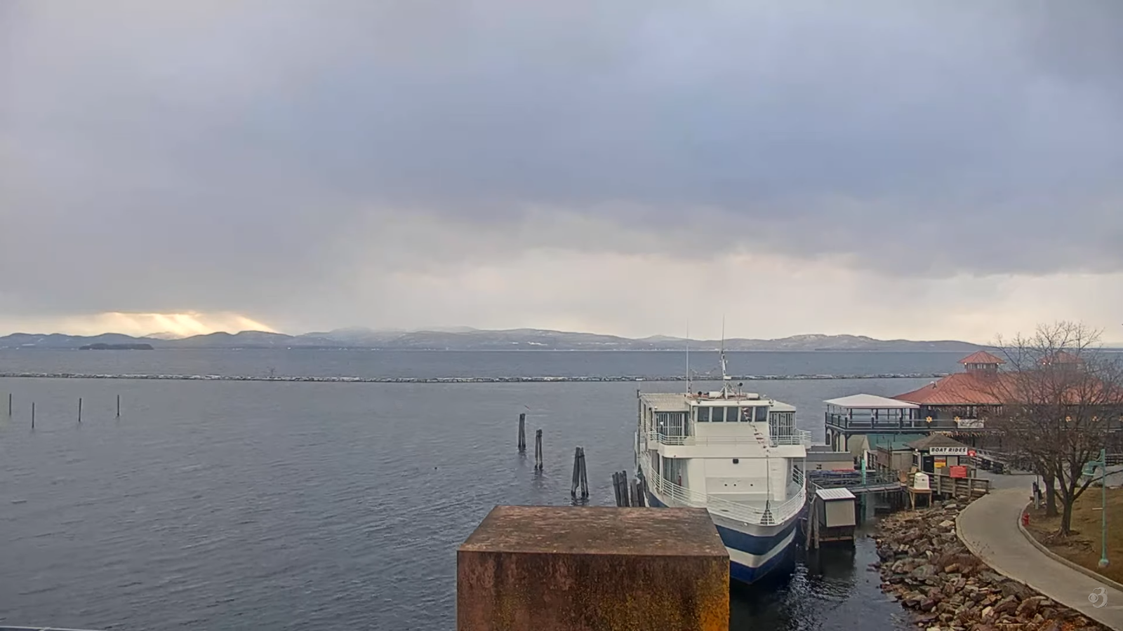
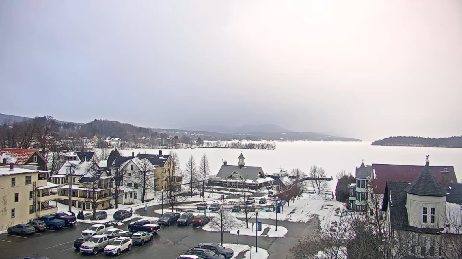
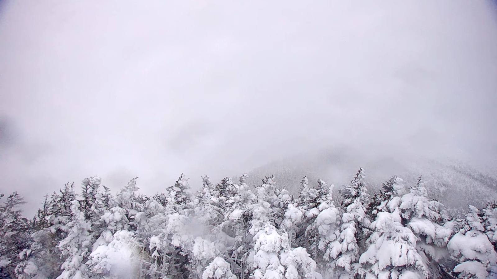
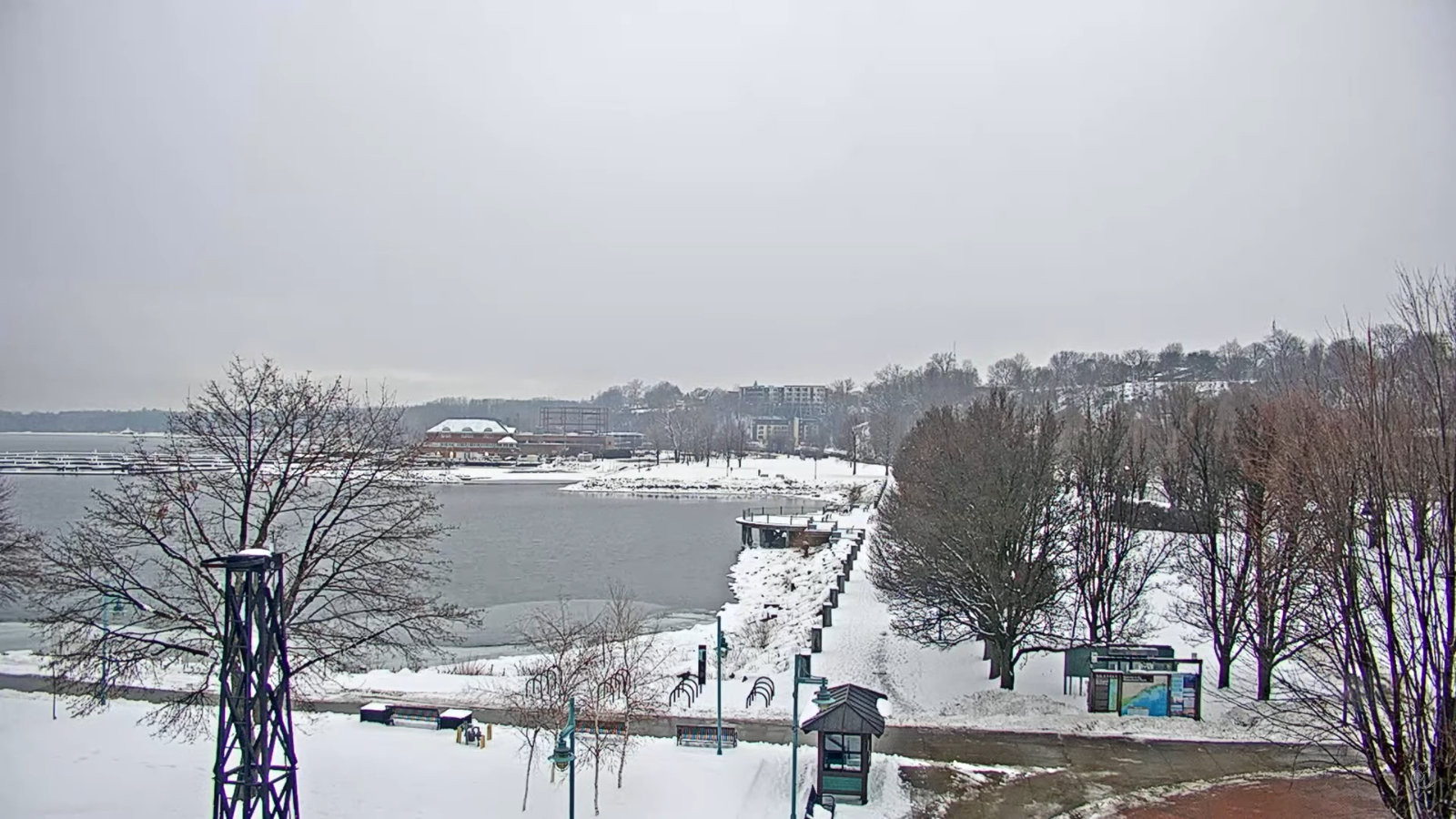
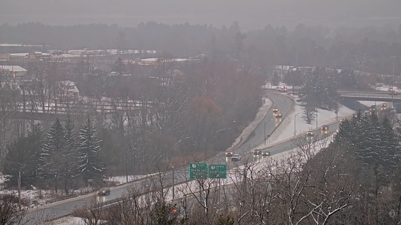
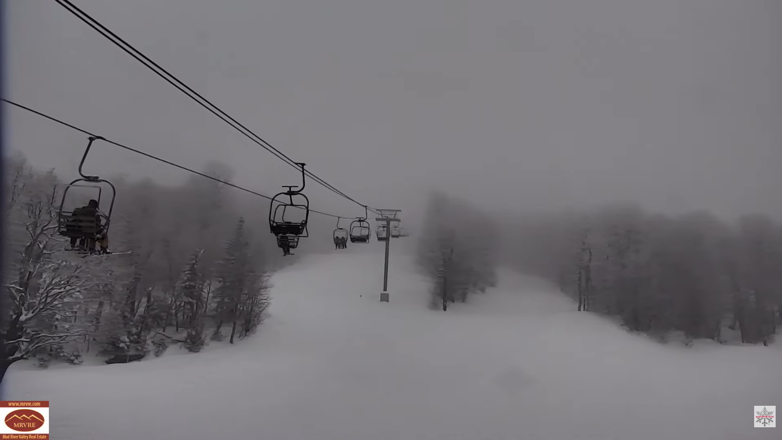
TONIGHT: Mostly cloudy. Occasional mountain flurries or snow showers, mainly central Vermont with light accumulation in spots. A low 5 to 15 above. West to southwest winds 10 to 15 mph lowering wind chills.
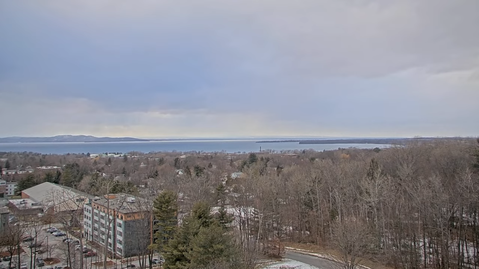
TOMORROW: Mainly gray. Occasional flurries especially central and northern areas. Dusting to an inch in spots. A high in the upper teens. West to southwest winds pick up 10 to 20 mph with higher gusts southern areas lowering wind chills.
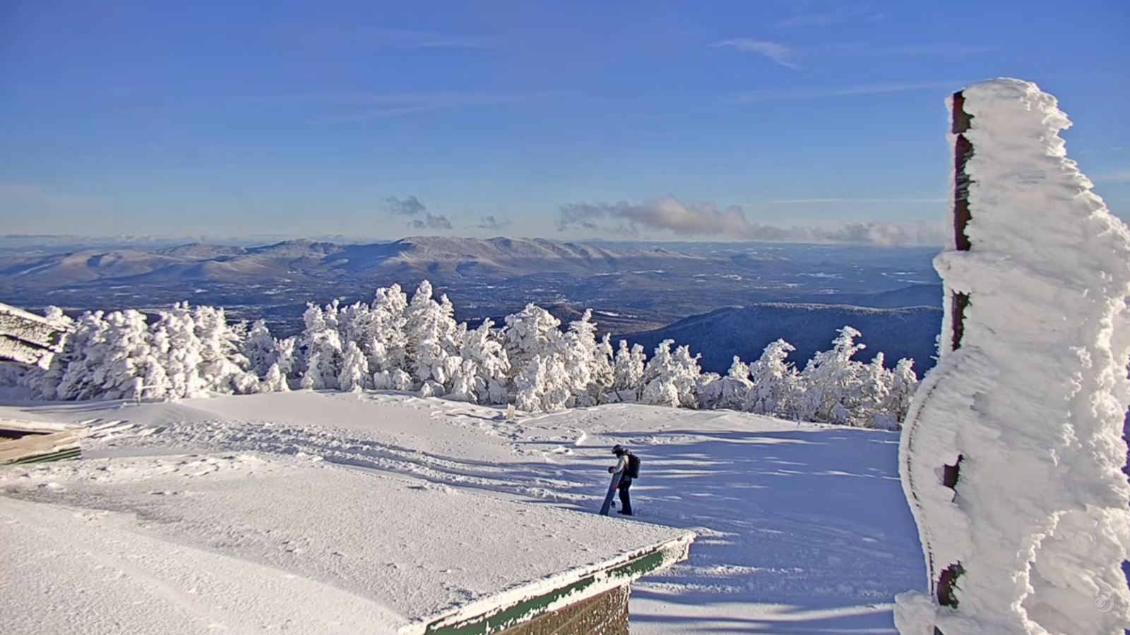
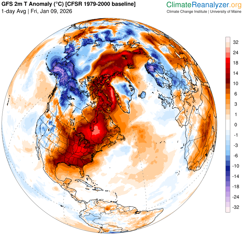
FRIDAY NIGHT: A few early evening flurries, then mostly clear arctic-like chill. A low 10 to 20 below zero. West to northwest winds 10 to 20 mph causing dangerous wind chills.
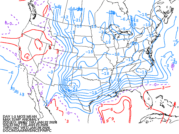
SATURDAY: Arctic sunshine. A high reaching 5 below to near zero degrees. Northwest winds 10 mph with lowered wind chills.
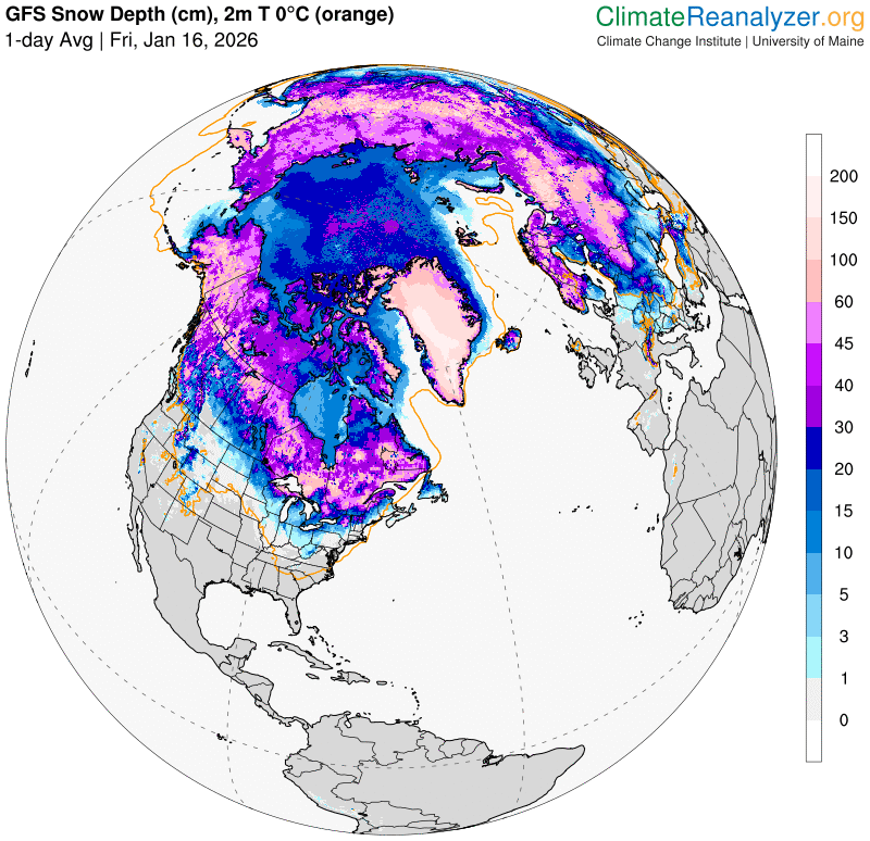
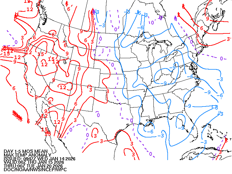
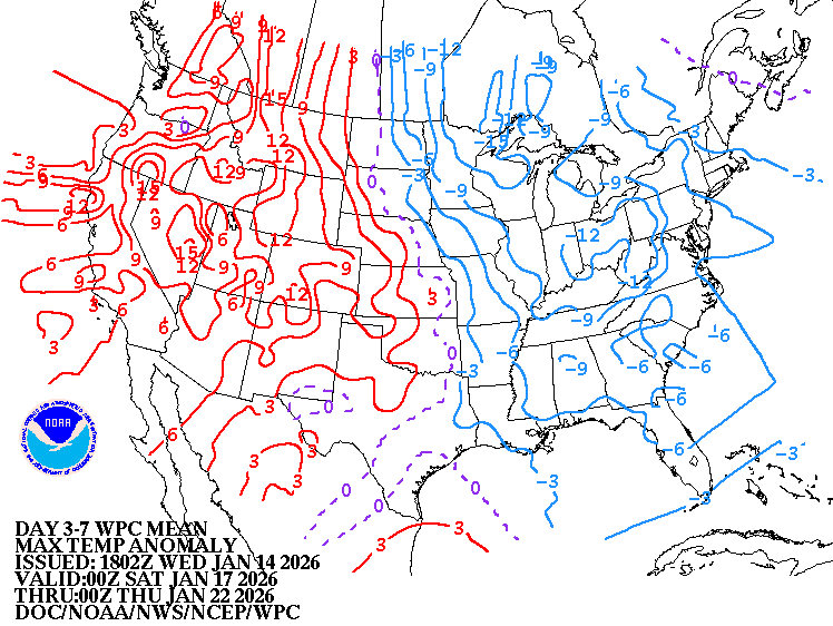
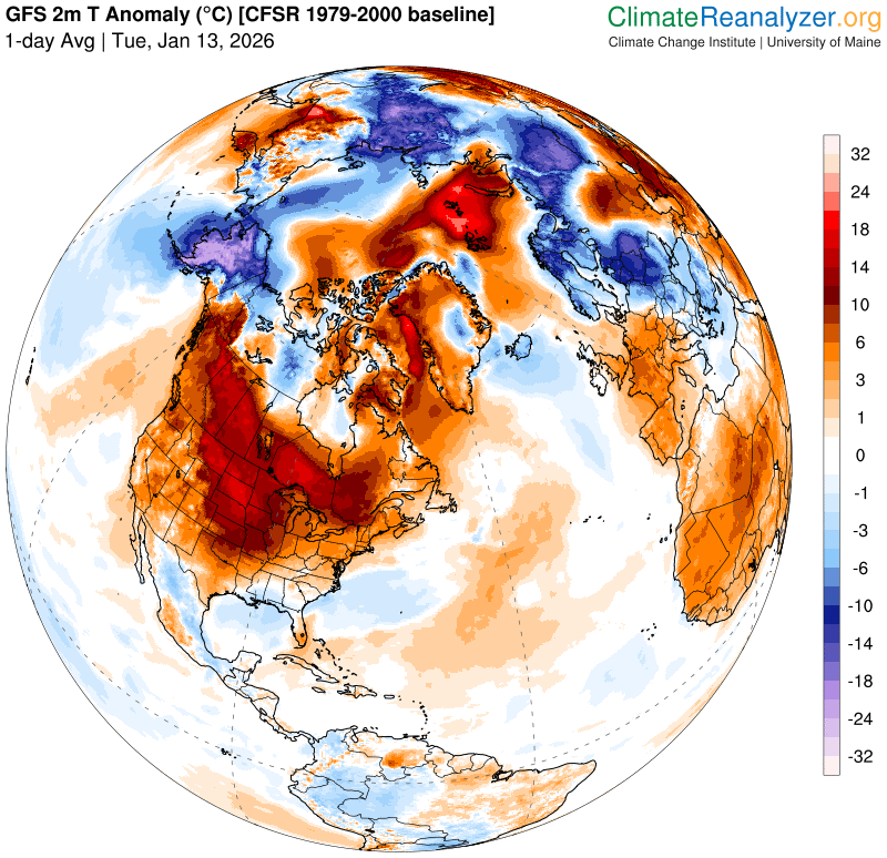
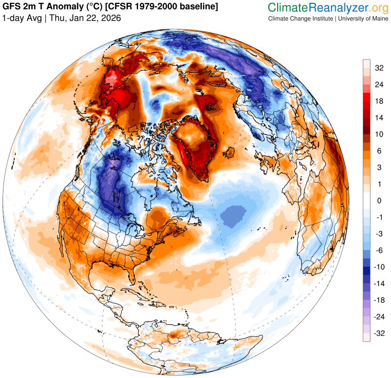
Looking further ahead
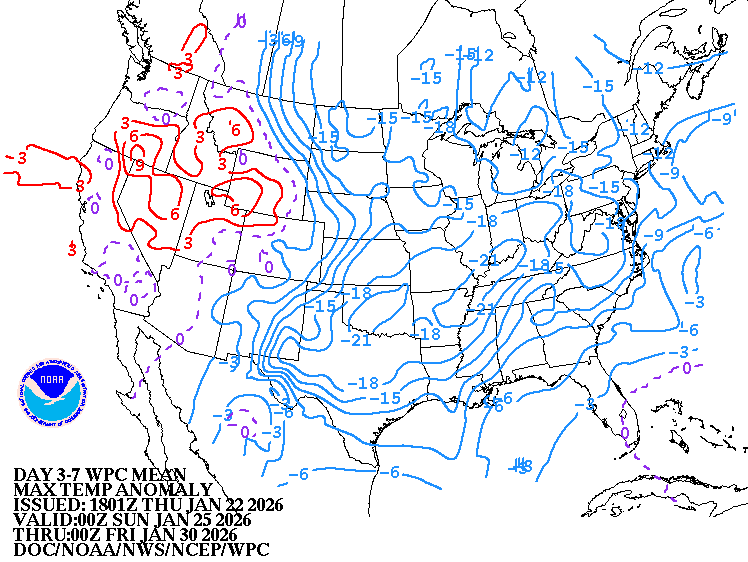
SATURDAY NIGHT: Mostly clear. Lows ranging 10 to 25 below!
SUNDAY: Gray. Accumulating snow becomes likely before dark moderate at times Sunday night. Dusting north to 3” south. Highs just 5 to 10 above.
MONDAY: Cloudy. Good chance for lingering light accumulating snow or snow showers. Potential total accumulation of several inches. Lows single digits. Highs around 15.
TUESDAY: Scattered early mountain flurries exit. Increasing afternoon sunshine. Lows 5 above to 5 below. Highs around 10 above.
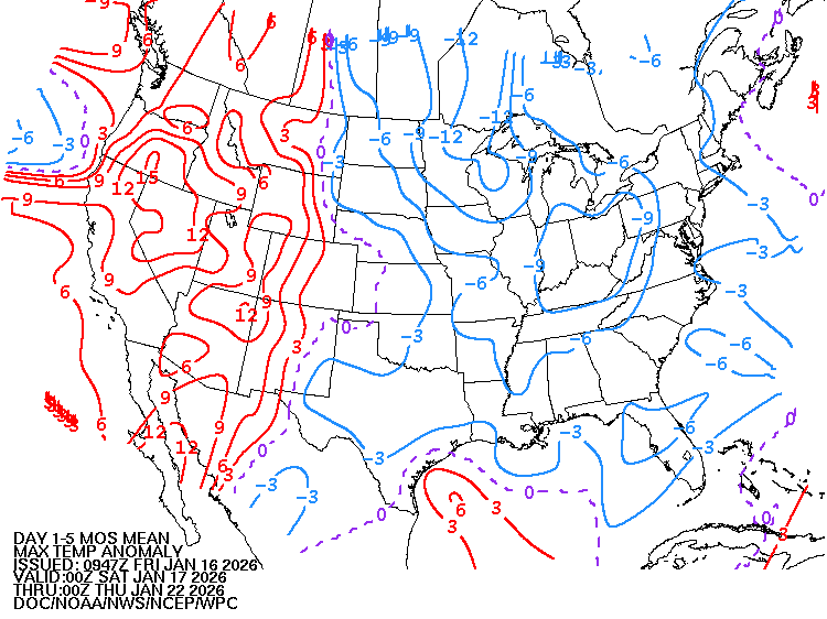
Average low: zero to 10. Average high mid-20s to around 30.

Full Snow Moon 5:09 PM Feb. 1st, 2026
RH/1-22/forecast][end] Fox Trot Delta Tango