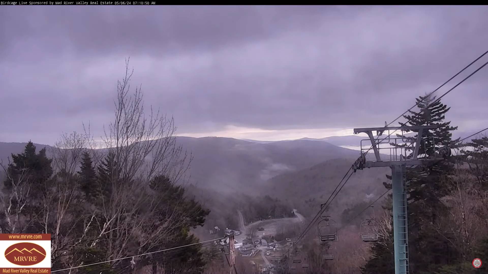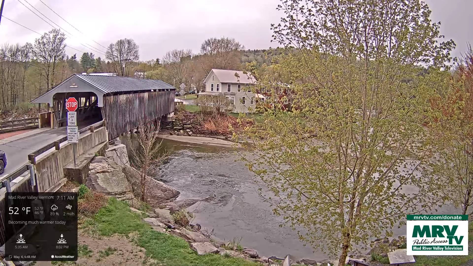
TONIGHT: High cloudiness early then clear skies. Patchy valley fog. A low 40 to 45. Light northwest winds.
TOMORROW: Pick of the week. Sunshine filtered by high clouds later in the afternoon. A high in the mid to upper 60s Northwest breeze 10 mph in the afternoon.
TUESDAY NIGHT: Fair with thickening clouds. A low 40 to 45.Little wind.
WEDNESDAY: Mainly cloudy and cool. Showers becoming likely mid to late morning, moderate at times and perhaps a rumble of thunder southern areas. A high in the mid to upper 50s. Southeast winds 10 mph in the afternoon.
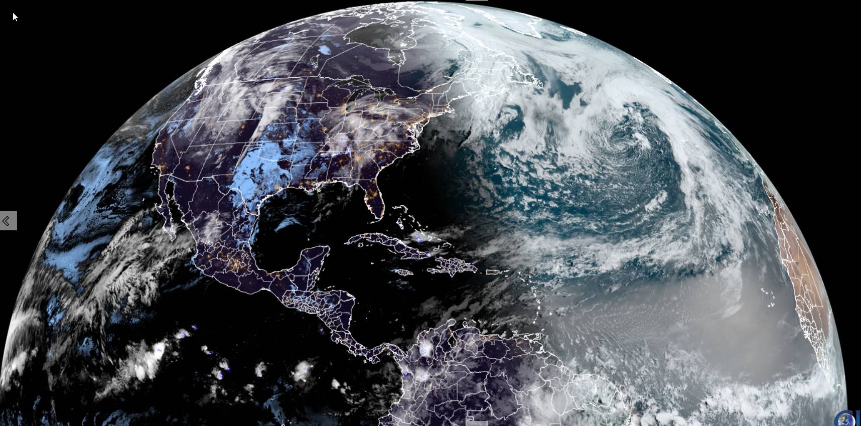
Looking further ahead
WEDNESDAY NIGHT: Mostly cloudy.Scattered lingering showers. A low in the mid-40s.
THURSDAY: Gray. Scattered showers becoming more numerous in the afternoon. A high mid to upper 50s.
FRIDAY: Continued mainly gray & chilly. Chance for periods of rain or showers. A low near 45. A high around 55.
SATURDAY: Morning sun then lots of afternoon clouds. A low in the mid-30s to low 40s with isolated frost.
Average lows mid-30s to lower 40s. Average highs low to mid-60s.

Start of meteorological summer June 6th
RH/5-6forecast][end]