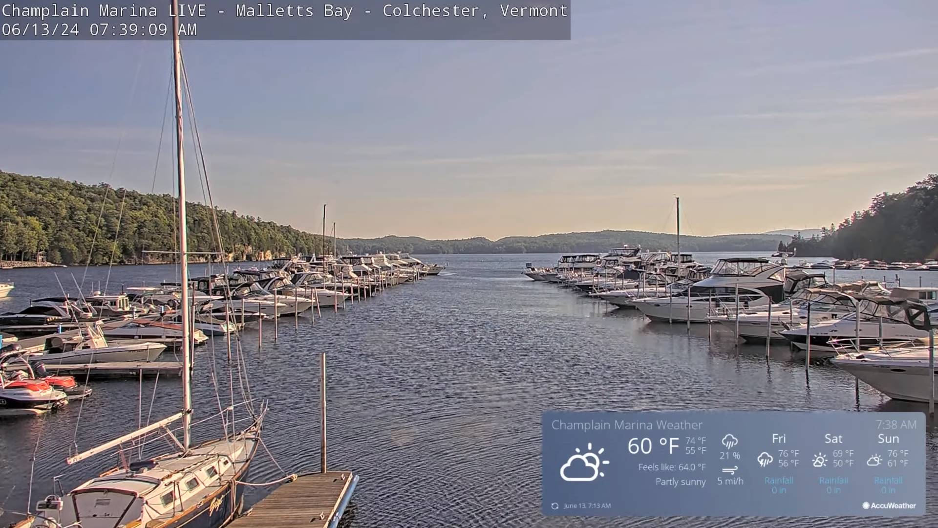
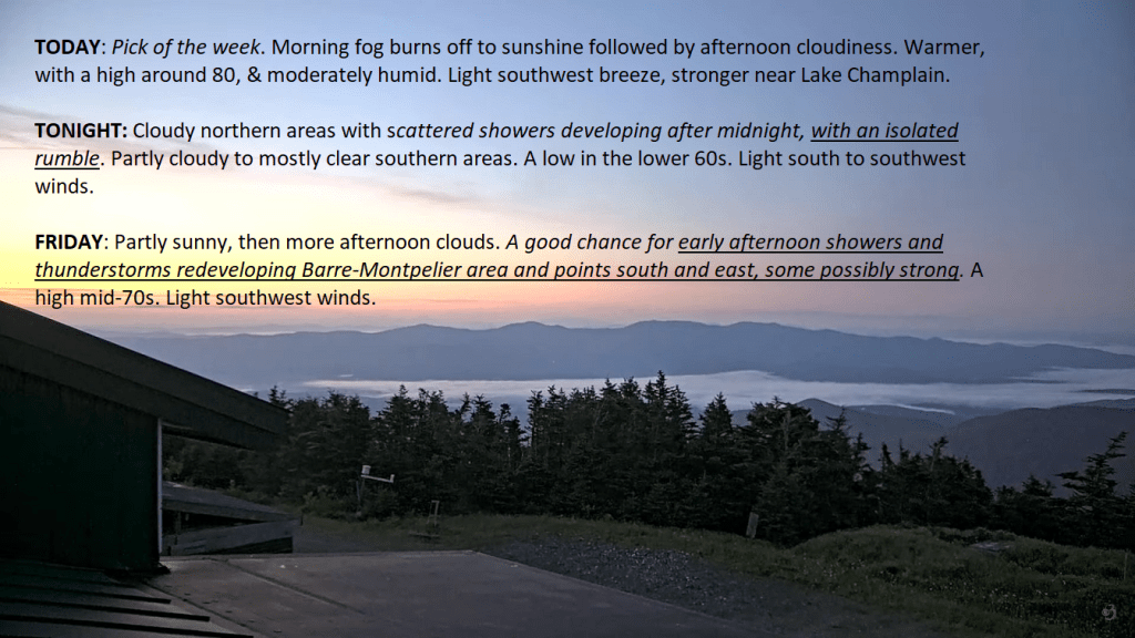
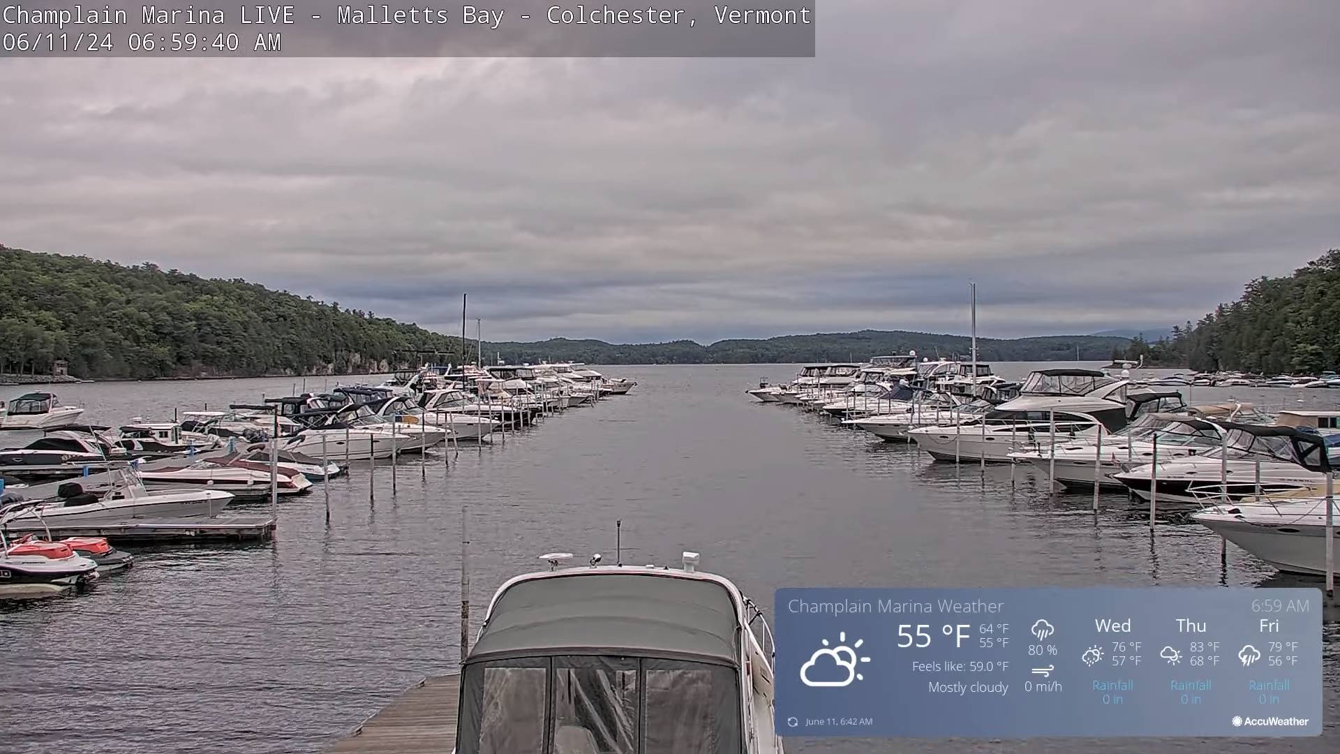
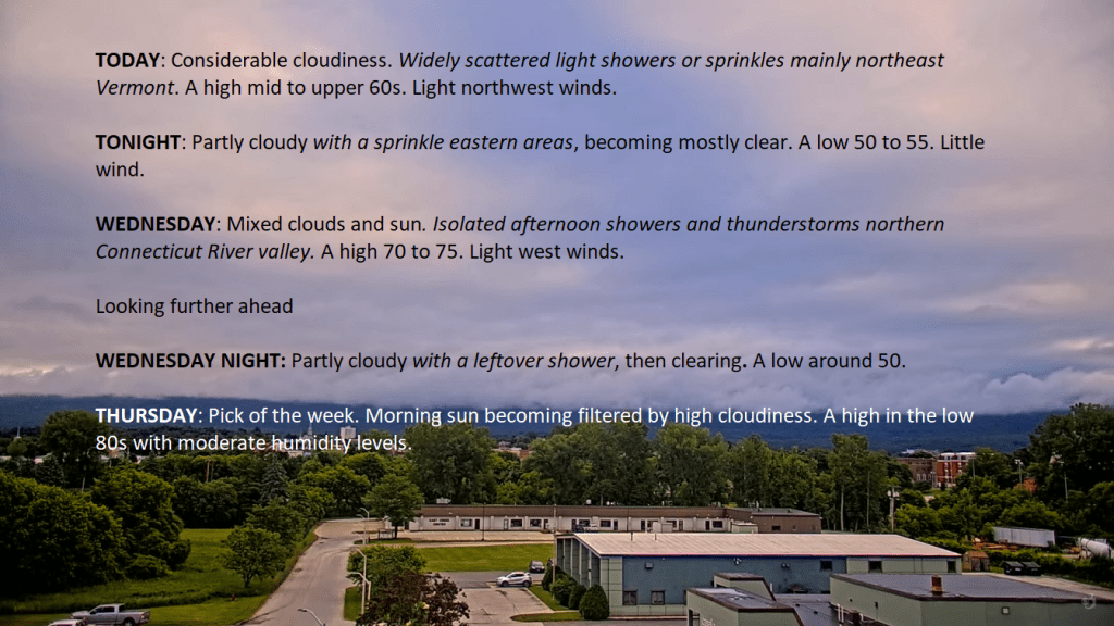
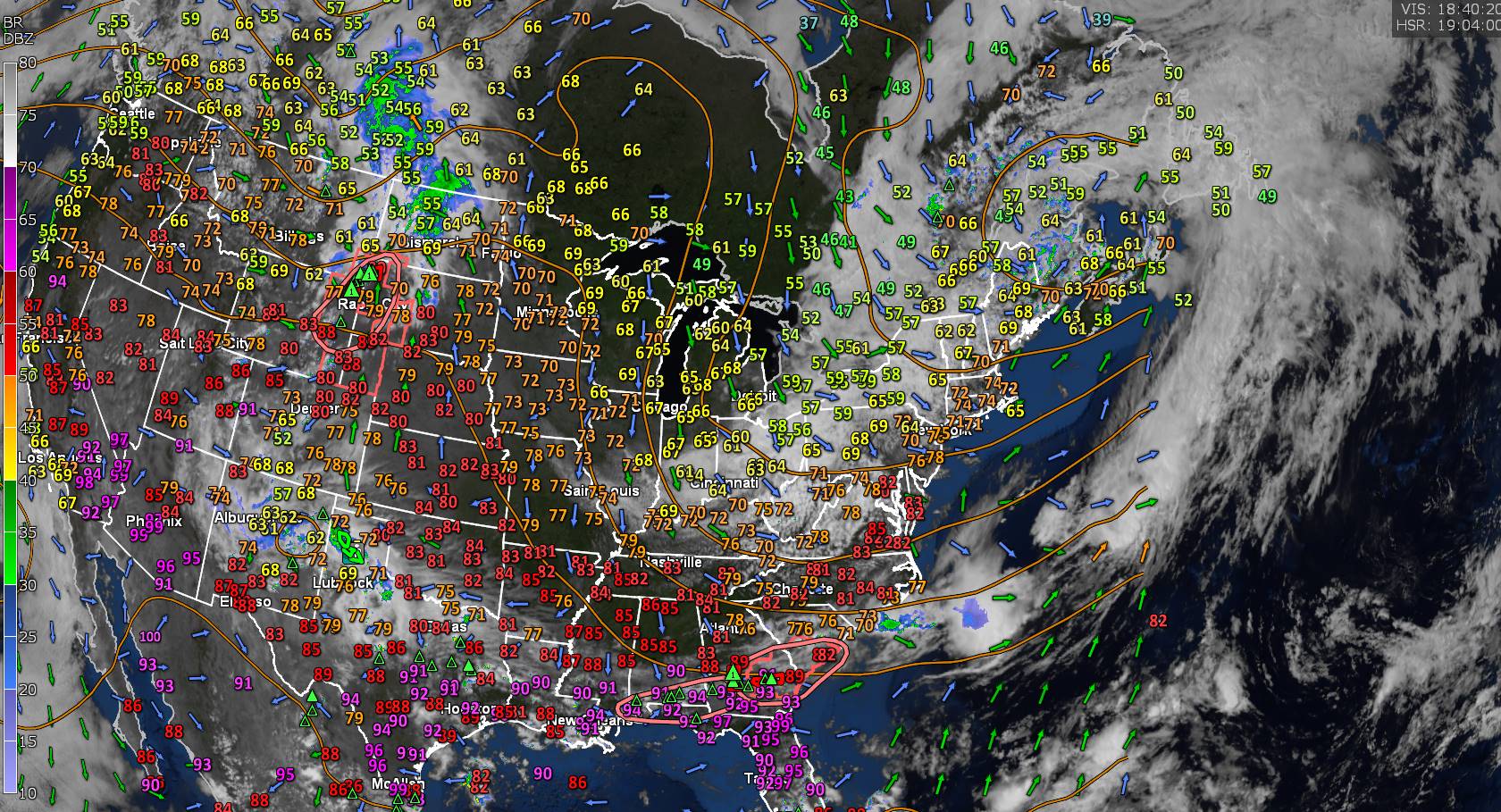
TONIGHT: Cloudy northern areas with scattered showers developing after midnight, with an isolated rumble.Partly cloudy to mostly clear southern areas.A low in the lower 60s. South to southwest breeze 10 mph stronger near Lake Champlain.
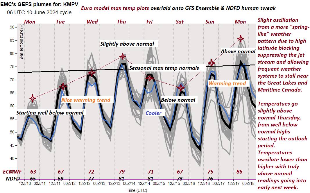
TOMORROW: Mostly cloudy northern areas and variable clouds otherwise. A few showers northern areas, with showers and a few afternoon thunderstorms southern Vermont. A high mid-70s. Southwest breeze 10 mph.
FRIDAY NIGHT: Partly cloudy in the evening with a few showers southern Vermont exiting.A low 50 to 55. Light northwest winds.

SATURDAY: Sunny but cool. A high mid to upper 60s. North to northwest winds 10 to 15 mph.
Looking further ahead

SATURDAY NIGHT: Clear skies & cool. A low near 45.
SUNDAY FATHERS DAY: Sunny after patchy valley fog, with a few high clouds in the afternoon. Comfortable highs in the low to mid 70s.
MONDAY: Some mid and high cloudiness otherwise partly sunny & warmer. A low in the low 50s. A high 80 to 85.

TUESDAY: Some mid and high clouds, otherwise hot and increasingly more humid. A low about the low 60s. A high pushing near 90.
WEDNESDAY: Mixed clouds and hazy sunshine. Hot and humid. A low upper 60s. A high 90 to 95.

Average lows upper 40s to around 55. Average high in the middle 70s.
Summer Solstice 4:51 PM Thursday June 20th
Full Strawberry Moon 9:08 PM Friday June 21st…

RH/6-13forecast][end]